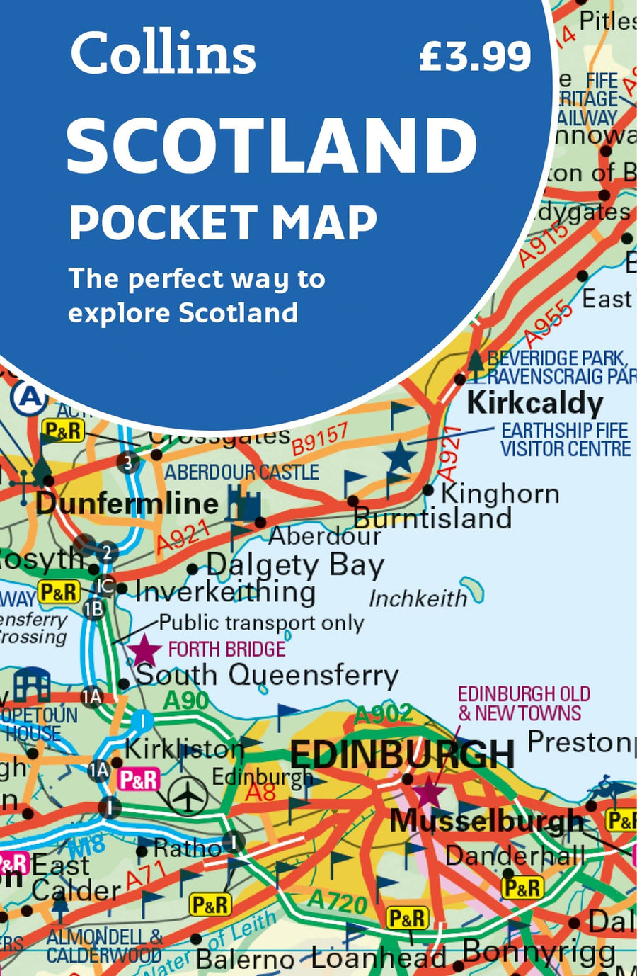
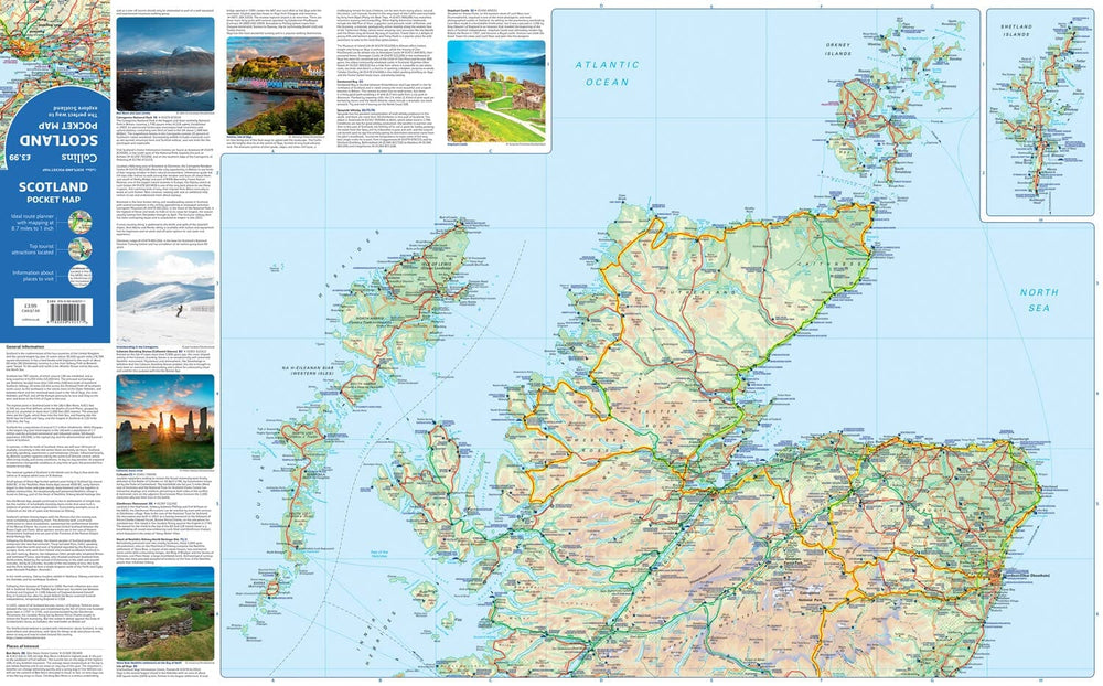
Small, full-color map of Scotland. Double-sided folded map with the Central Belt, Southern Scotland, and Northern England on the front, and Northern Scotland, including Orkney and Shetland on the back.
This map features:
• Clear mapping at a scale of 8.7 miles to 1 inch
• National Tourist Routes showing the best routes through the most scenic areas
• Top 100 Places of Interest
• Park and Ride locations
• Ideal companion to a sat nav - allows for route planning and direction checking.
ISBN/EAN : 9780008492571
Publication date: 2022
Printed sides: both sides
Folded dimensions: 9 x 14 cm
Language(s): English
Weight:
40 g


