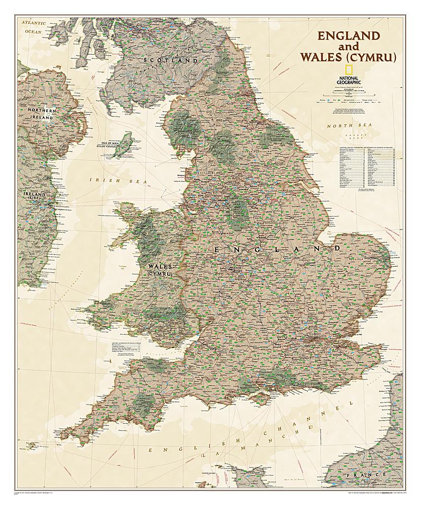
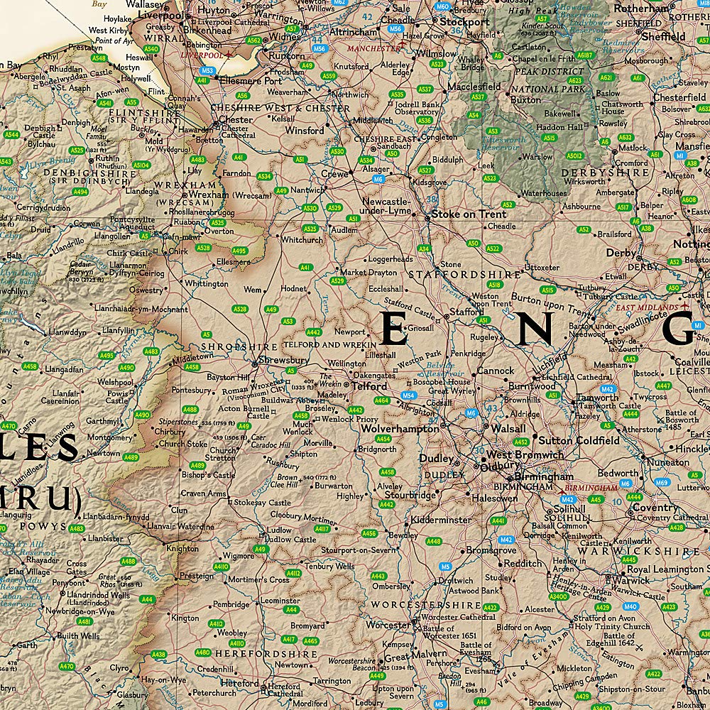
Waterproof hiking map at 1:25,000 published by Harvey Maps, ideal for discovering the most beautiful regions of England, Wales or Scotland.
Original description from the publisher:
More than a card - an essential piece of equipment. This new generation of HARVEY Superwalker is designed to be the most practical tool for outdoor navigation. - The whole of Exmoor National Park on one sheet - Covers Combe Martin in the west, Minehead on the north coast and Exebridge in the south - The Superwalker XT25 is based on the original HARVEY mapping with all the detail that a hiker would wait on a 1:25,000 scale map - Printed on strong, durable, 100% waterproof paper - Includes rights of way - Without the clutter of information irrelevant to the hiker and less than half the weight of 'a laminated map - Opens directly on each side of the sheet and folds easily - Indicates pubs and cafes for the end of the day
ISBN/EAN : 9781851376858
Publication date: 2024
Scale: 1/25,000 (1cm=250m)
Printed sides: both sides
Folded dimensions: 11.6 x 24.3cm
Unfolded dimensions: 48.6 x 140cm
Language(s): English
Weight:
94 g