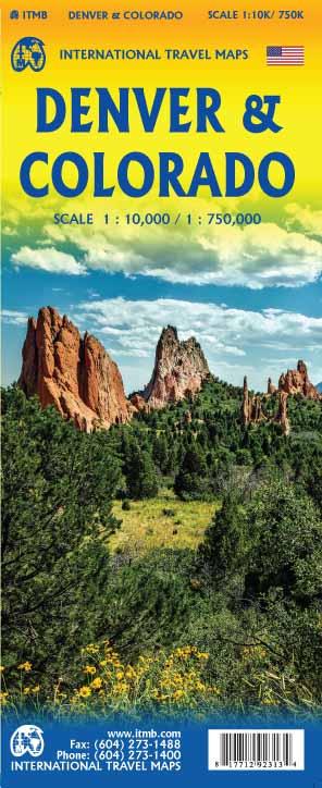
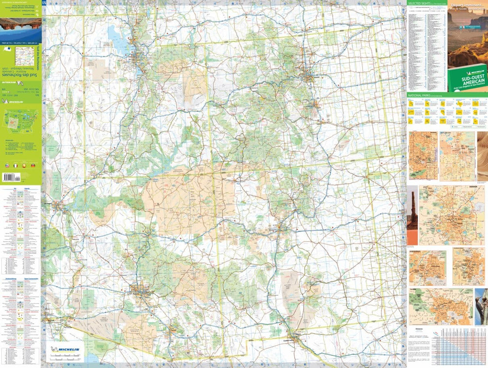
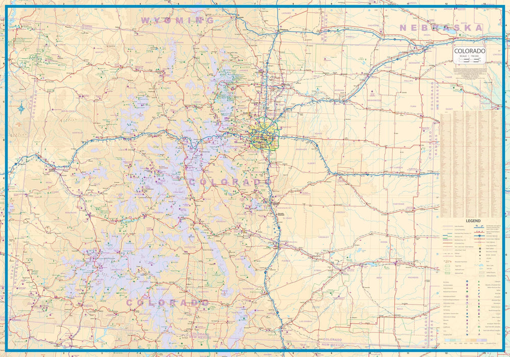
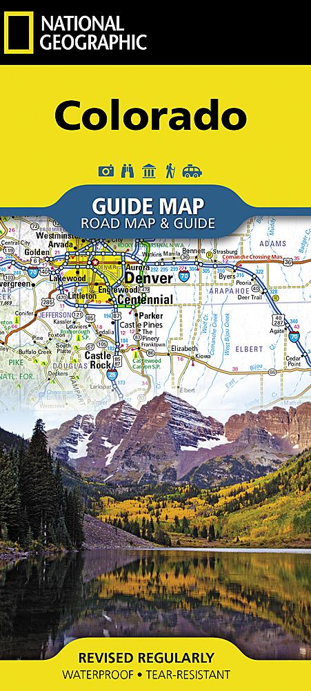
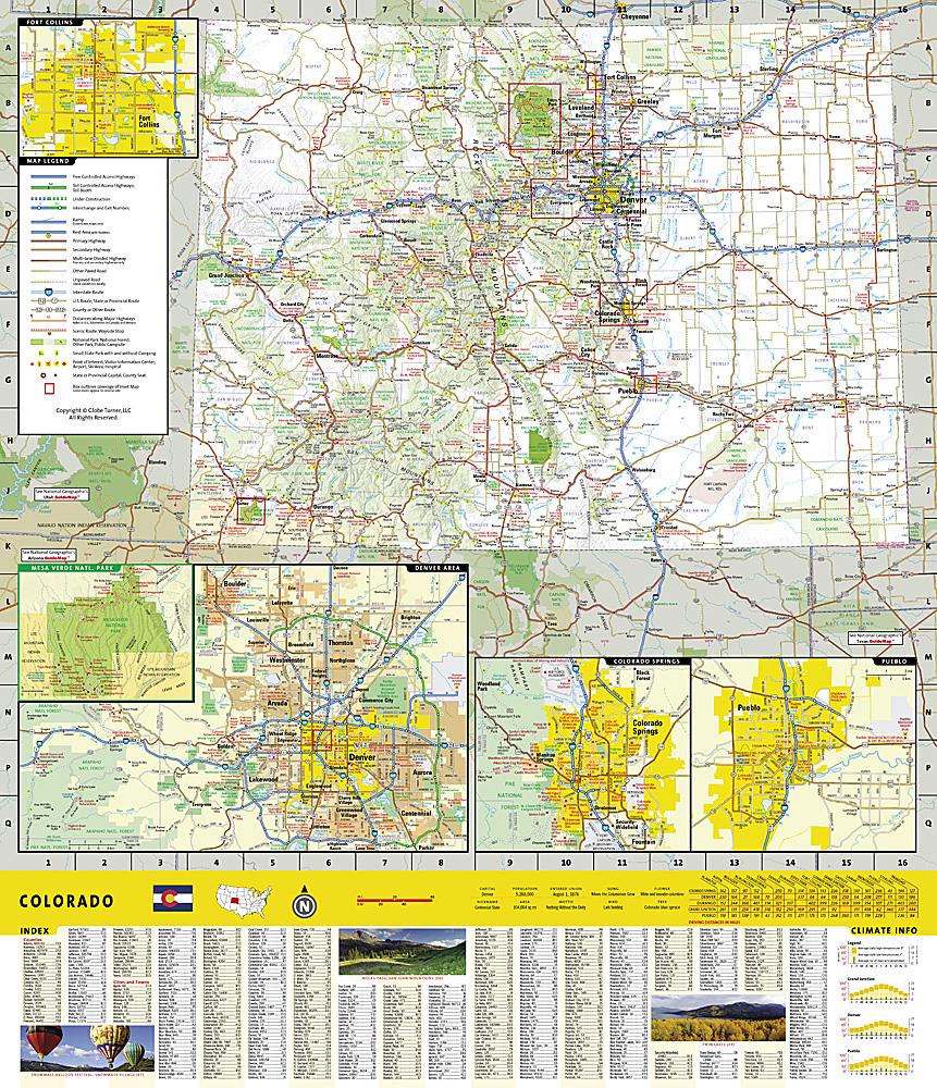
Colorado Waterproof Travel map with highways and secondary roads. Relief mapping, main distances indicated on the map. Indication of national parks, points of interest and relief elements.
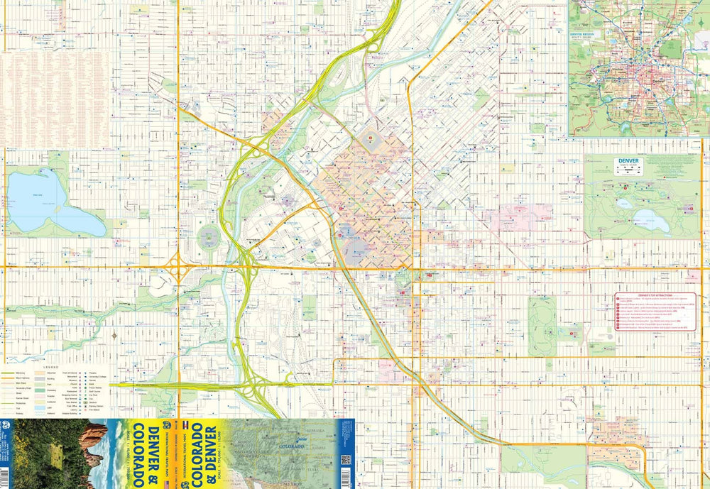
On the back, large denver plan at 1/10 000 scale.
ISBN/EAN : 9781771292313
Publication date: 2018
Scale: 1/750,000 (1 cm = 7.5 km) & 1/10,000 (1 cm = 100 m)
Printed sides: both sides
Folded dimensions: 24.6 x 10.3 x 0.5cm
Unfolded dimensions: 100 x 69cm
Language(s): English
Weight:
77 g


