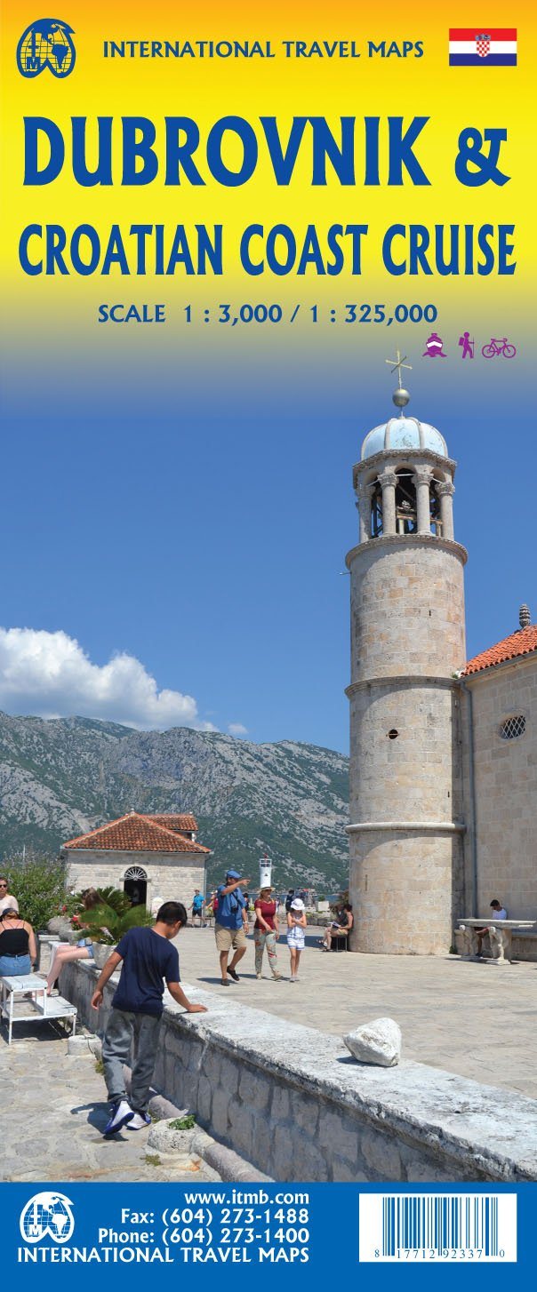
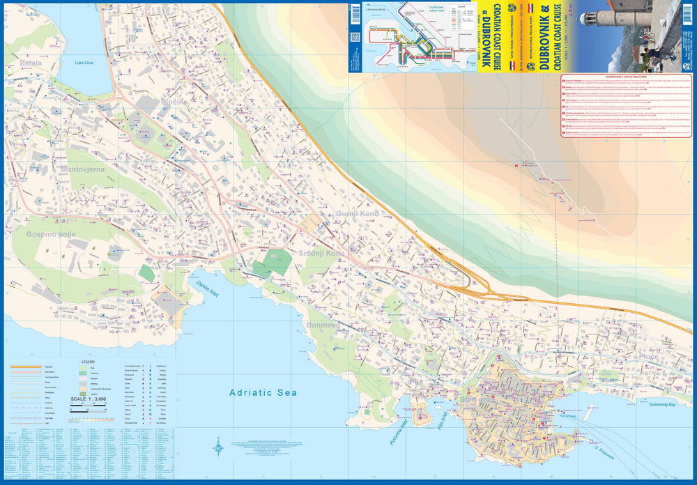
Great plan of Dubrovnik on the front with points of interest. The map also covers the urban area outside the old town, because that's where most hotels and restaurants are located.
The back of the map shows the vast coastline of Croatia in two parts - from the Italian border to Trogir and Split at the border with Montenegro.
Legend: Roads by classification, rivers and lakes, national park, airports, points of interest, highways, main roads, zoos, fishing etc.
ISBN/EAN : 9781771292320
Publication date: 2021
Scale: 1/3,000 (1 cm = 30 m) & 1/325,000 (1 cm = 3.25 km)
Printed sides: both sides
Folded dimensions: 24.6 x 10.3 x 0.5cm
Unfolded dimensions: 100 x 69cm
Language(s): English
Weight:
76 g


