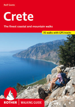
Road map of Crete, Mykonos, and Santorini published by ITM.
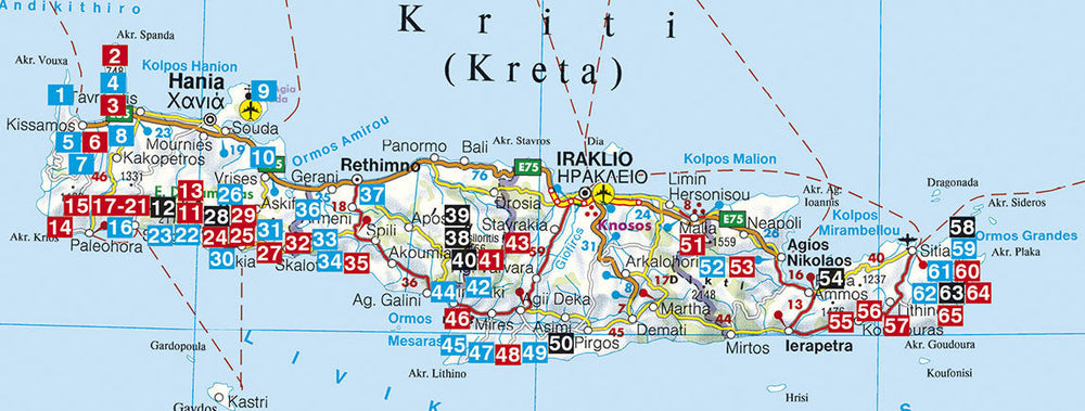
The front of this map shows the large island of Crete in detail, with the relatively nearby island of Mykonos and its adjacent island of Rinia, and the island of Santorini, with its adjacent islands of Thirasia and Nea Kameni, shown in detail. A locality map showing the islands in relation to the rest of Greece is included as an inset.
The back of the map is an overview map of Greece in relation to its northern and eastern neighbors. The Mediterranean is divided into smaller seas, such as the Adriatic along the coast of Croatia, the Ionian Sea to the west of Greece, the Myrtoan Sea to the south, and the Aegean Sea to the east.
The legend includes: Roads by classification, rivers and lakes, national parks, airports, points of interest, highways, major roads, zoos, fishing, etc.
ISBN/EAN : 9781771291828
Publication date: 2023
Scale: 1/530,000 (1cm=5.3km)
Printed sides: both sides
Folded dimensions: 24.6 x 10.3 x 0.5cm
Unfolded dimensions: 100 x 69cm
Language(s): English
Weight:
50 g


