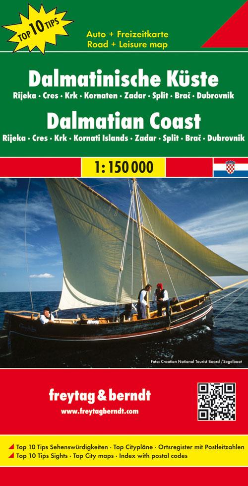
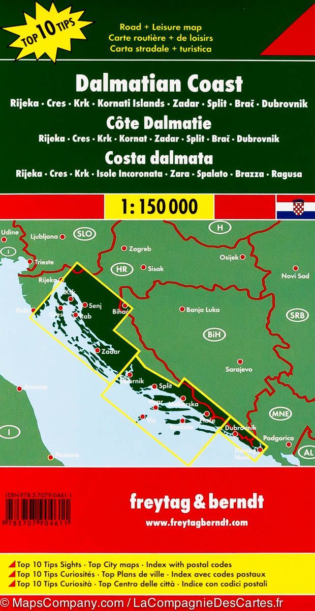
Carte détaillée de l’Ile de Cres (Croatie) | Freytag & Berndt - La Compagnie des Cartes
Carte détaillée - Ile de Cres (Croatie) | Freytag & Berndt carte pliée Freytag & Berndt
Carte détaillée de l’Ile de Cres (Croatie) | Freytag & Berndt - La Compagnie des Cartes

Detailed map - Island of Cres (Croatia) | Freytag & Berndt

Detailed map - Island of Cres (Croatia) | Freytag & Berndt

Regular price $15.00
/
  • Shipping within 24 working hours from our warehouse in France
  • Delivery costs calculated instantly in the basket
  • Free returns (*)
  • Real-time inventory
  • In stock, ready to ship
  • Backordered, shipping soon
Tax included.

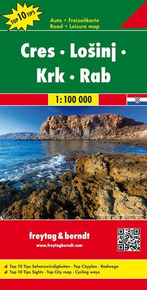
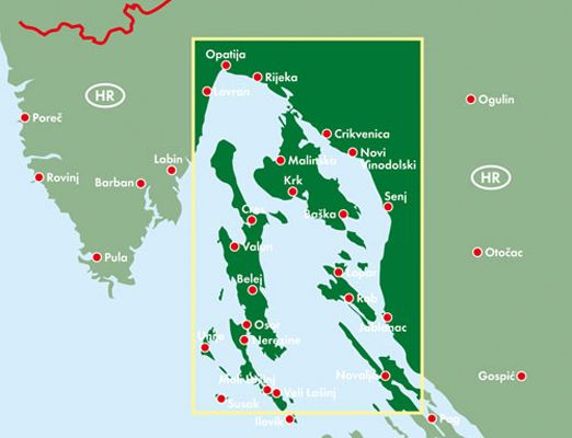
Croatian Island of Cres (Adriatic Sea) Road map edited by Freytag & Amp Berndt. This map covers the surroundings of Rijeka, Crikvenica, Senj and Lovran, plus the Krk Islands, Cres, Rab, Lošinj and North Pag.

In inset, the plans of the main cities. Mapping the relief, indication of maritime links, picturesque roads, tourist attractions, hiking trails and campsites.

Index of cities on the back and legend Multilingual English, French, German and Italian. Scale 1/100 000 (1 cm = 1 km).


ISBN/EAN : 9783707916485
Publication date: 2017
Scale: 1/100,000 (1cm=1km)
Printed sides: front
Folded dimensions: 25.6 x 13 x 1cm
Unfolded dimensions: 123 x 75cm
Language(s): multilingual including French
Poids : 115 g
Customer Reviews

Based on 2 reviews
100%
(2)
0%
(0)
0%
(0)
0%
(0)
0%
(0)
J
Jean P.C. (Aix-en-Provence, FR)

Carte bien détaillée.satisfait à 100%

j
jean-pierre M.
Merçi a vous Compagnie des cartes ...

Merçi a vous Compagnie des cartes

trés belle carte routiere trés detaillée

satisfait a 100%