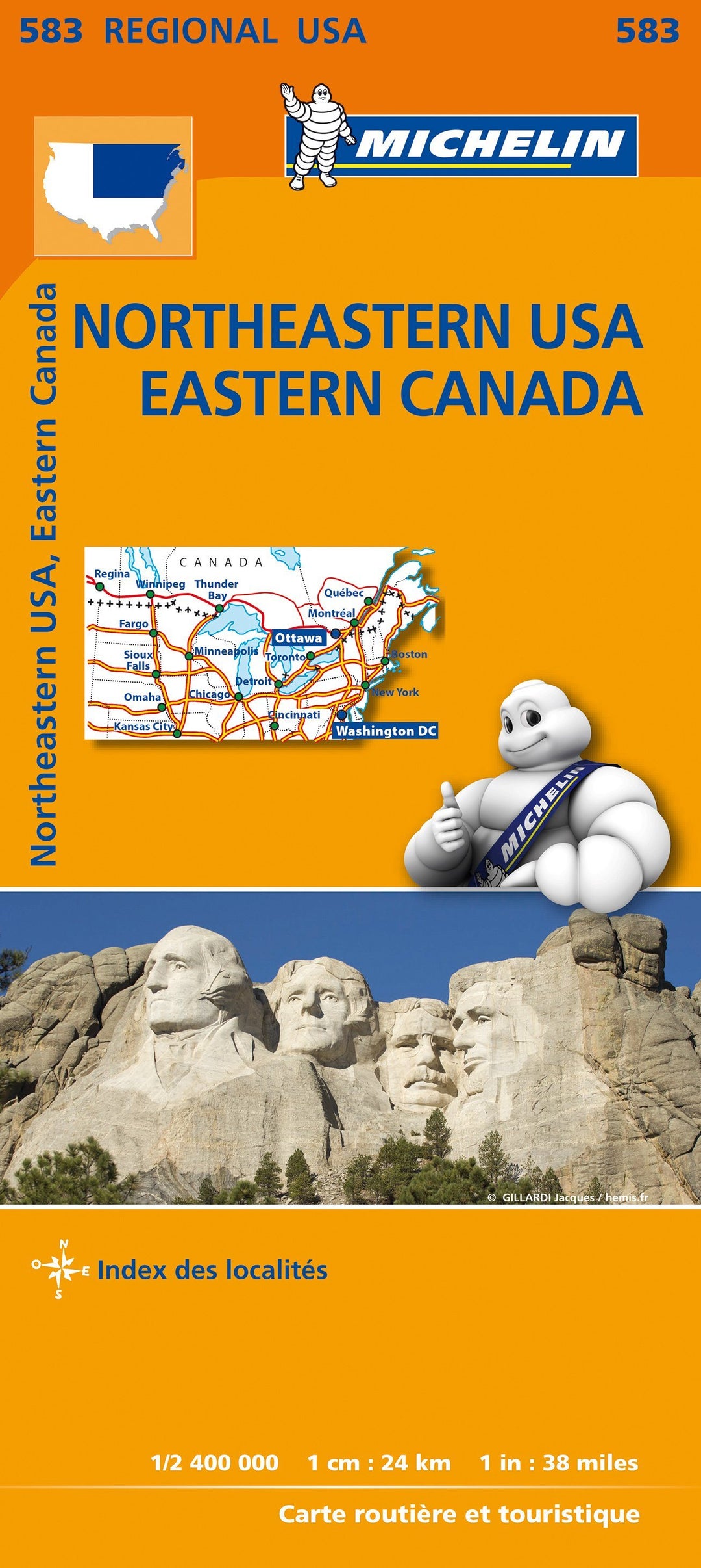
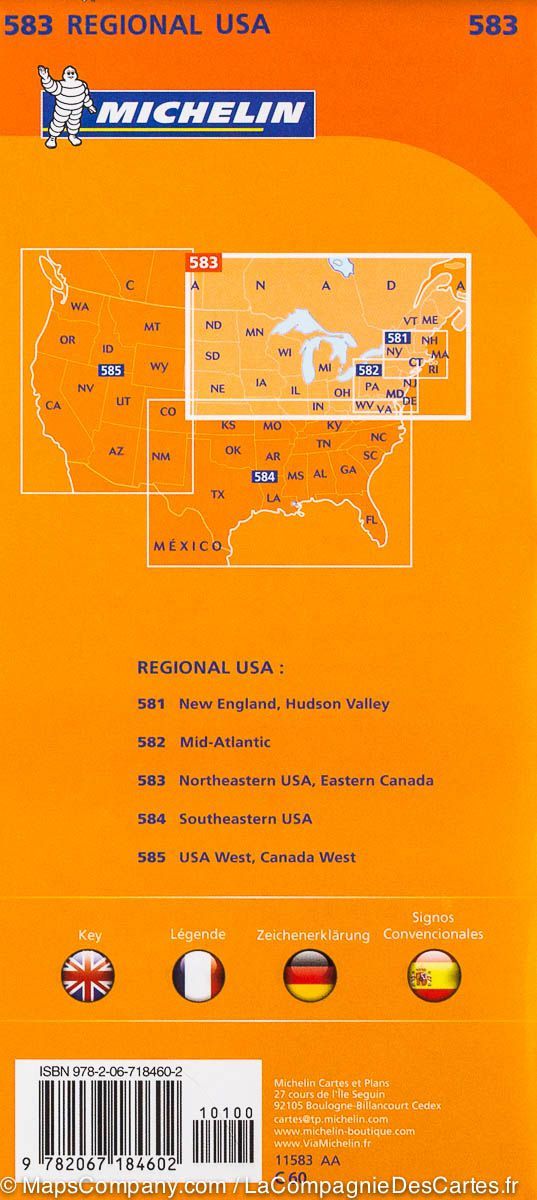
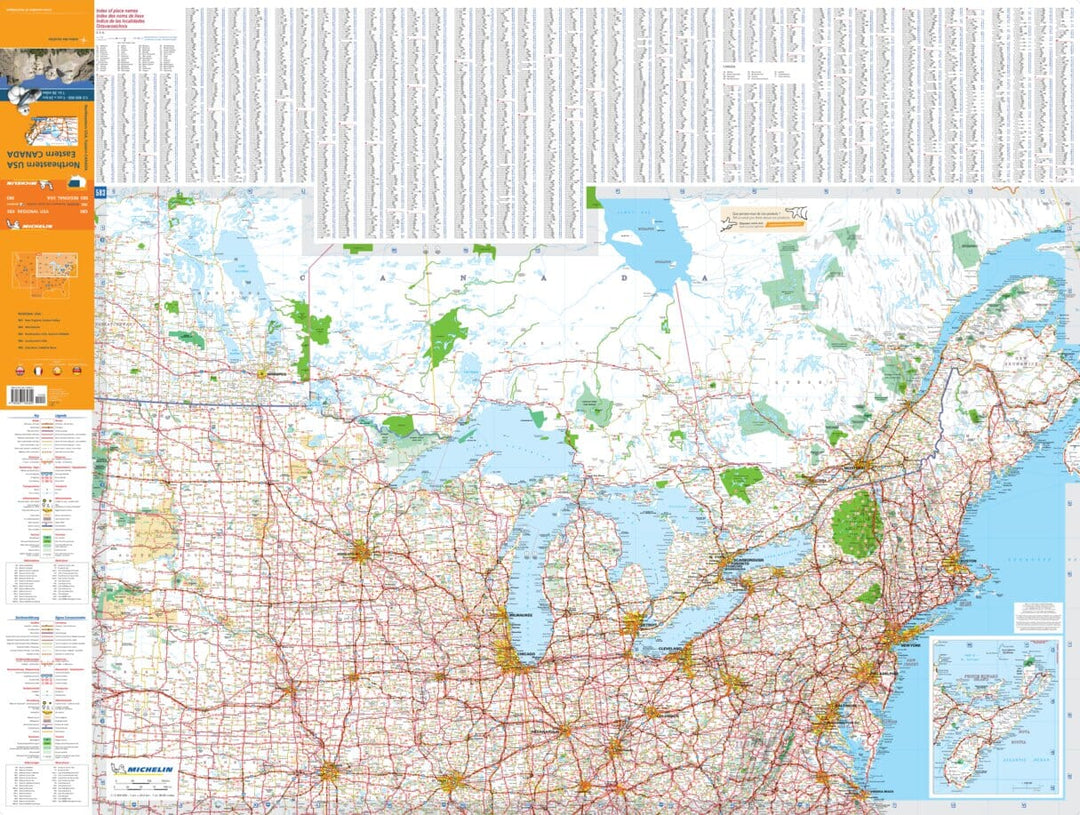
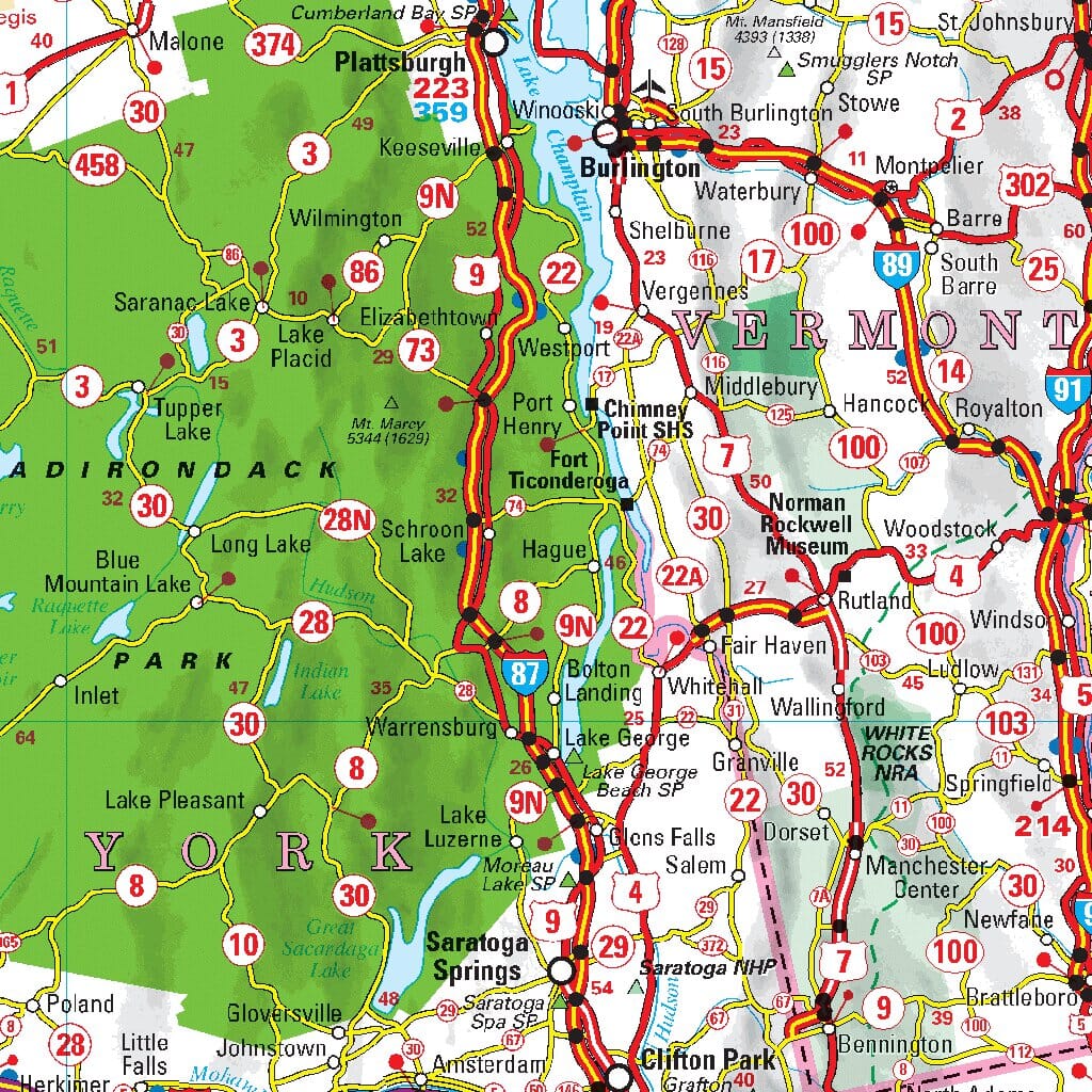
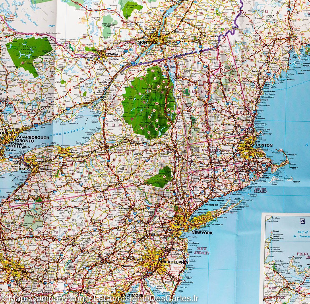
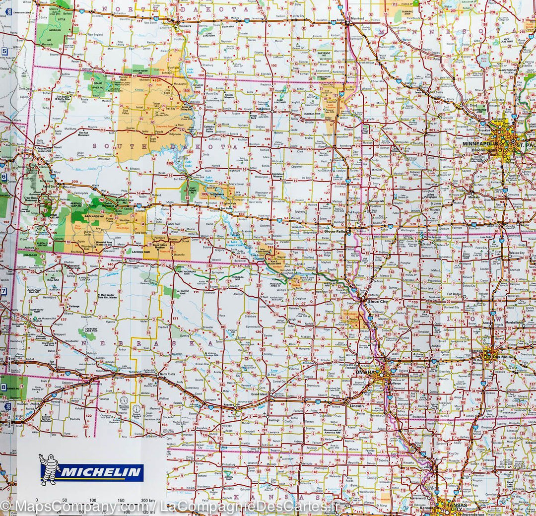
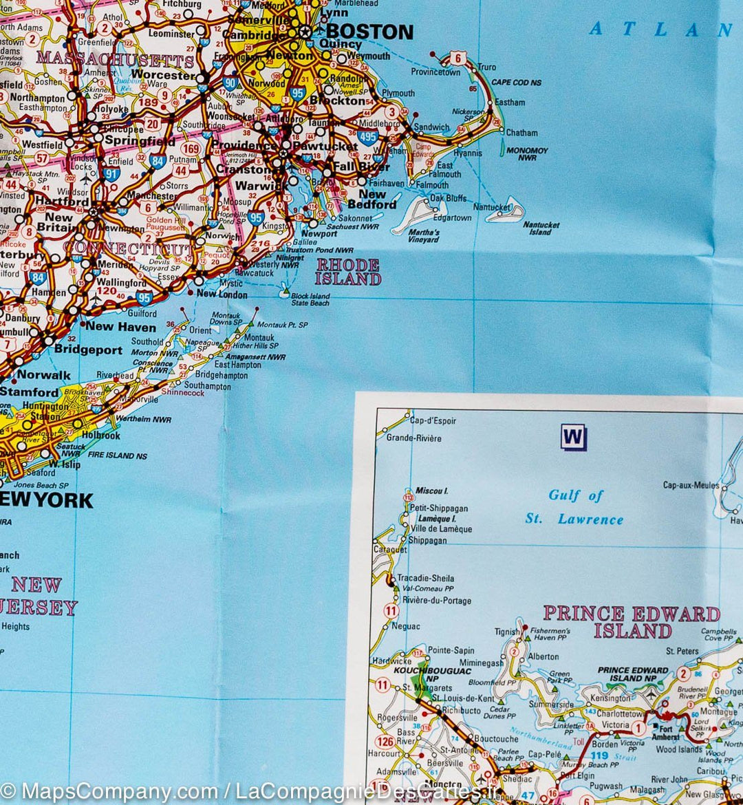
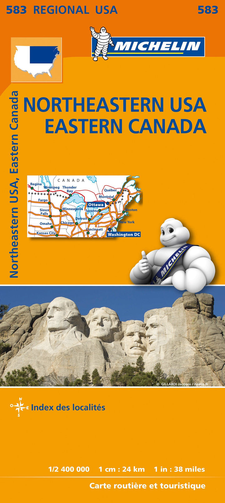
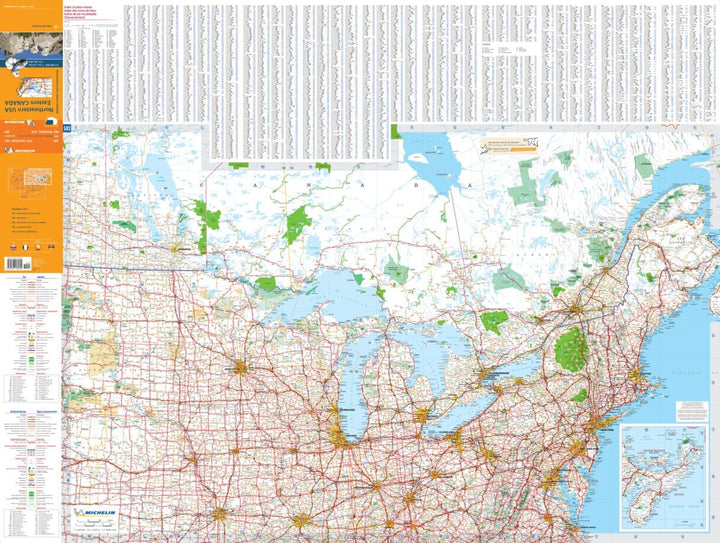
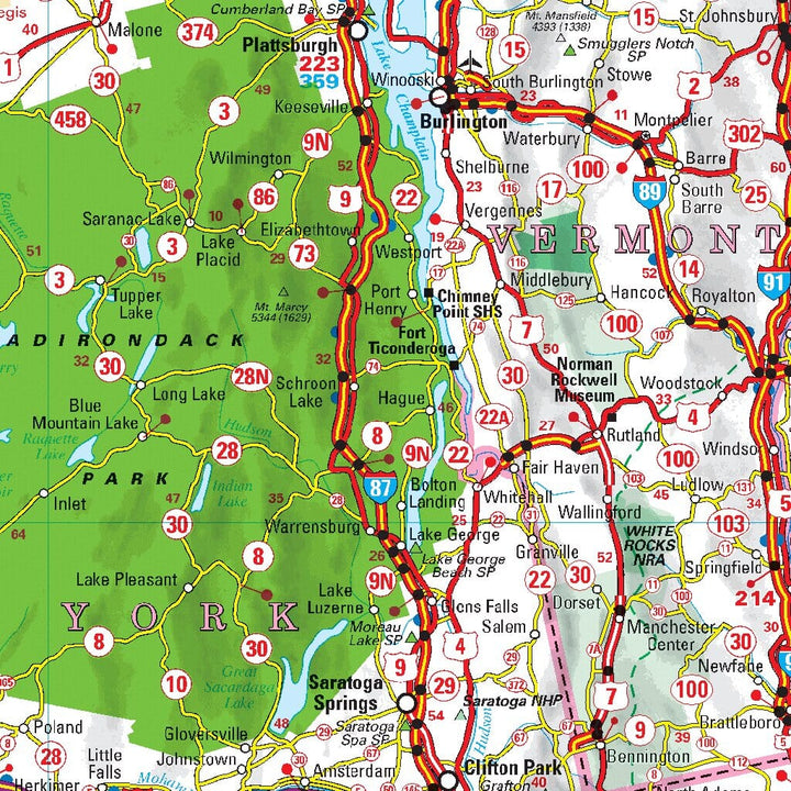
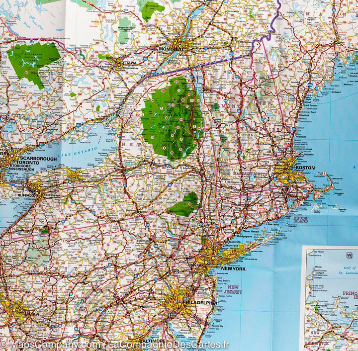
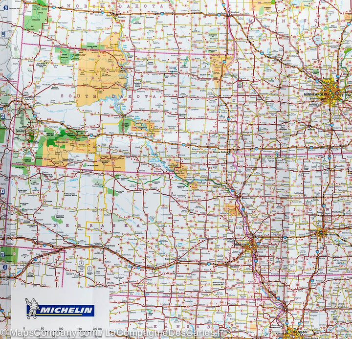
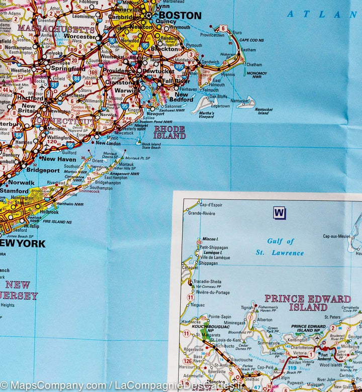
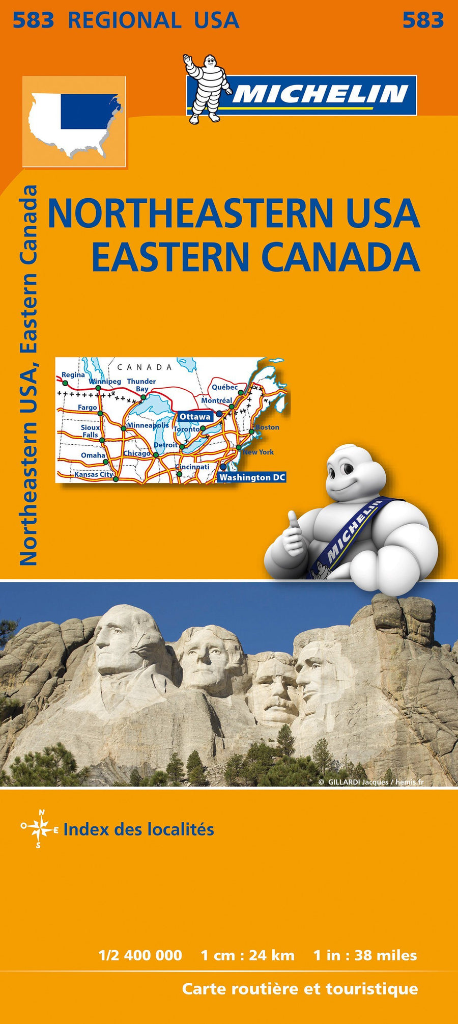
Map of Northeastern United States and Eastern Canada published by Michelin. This Road map runs from South Dakota to New York (from West East) and to Indiana (South) and includes the Great Lakes region.
This map also includes all half of Canada (with Quebec, Ontario, New Brunswick).
Road distances, maritime links, and cities index included.
Legend in English and French. Scale 1: 2.400.000 (1 cm = 24 km).
ISBN/EAN : 9782067184602
Publication date: 2023
Scale: 1/2,400,000 (1cm=24km)
Printed sides: front
Folded dimensions: 25 x 11 x 0.7cm
Unfolded dimensions: 122 x 100cm
Language(s): multilingual including French
Weight:
89 g


