Hiking map - Southern Corsica: through Alta Rocca, from Porticcio to Propriano | FFHiking

Price
Regular price $14.00
Regular price Sale price $14.00
Save $-14
/
  • Shipping within 24 working hours from our warehouse in France
  • Delivery costs calculated instantly in the basket
  • Free returns (*)
  • Real-time inventory
  • In stock, ready to ship
  • Backordered, shipping soon
Tax included.

Often purchased together:

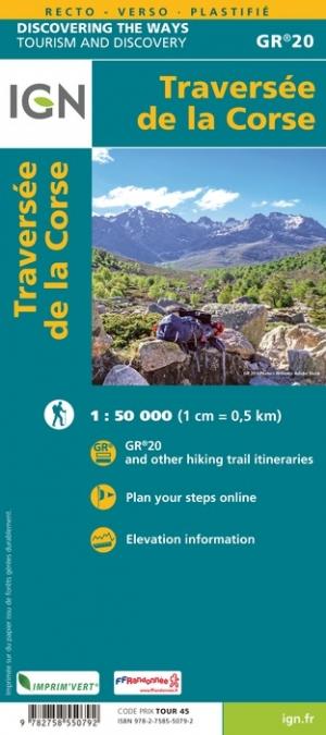
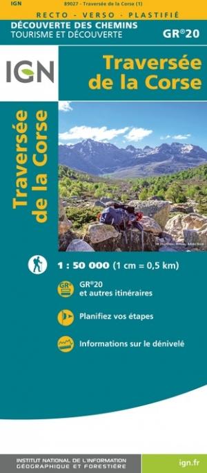
This topomap is based on the route of the mare a mare as well as the GR® 20 and offers 10 days of roaming to discover the treasures of Alta Rocca, a mountainous region in southern Corsica.
An all-in-one product to experience roaming with complete peace of mind. Breakdown of the stages for the day, assets of the region crossed, precise IGN mapping, GPS tracks to download, accommodation... All the information necessary for the itinerant hiker is specified on this solid and flexible double-sided topomap.

Taking the Mare a MareR Centre, the GR® 20 and the Mare a Mare® Sud, this low-traffic hike is a concentration of characteristic landscapes of Corsica.

Between the gulfs of Ajaccio and Propriano, the route circulates among the laricio pines, the dense and flowery maquis, the chestnut groves, passes through plateaus, between pozzines and streams, through the Alta Rocca and the needles of Bavella, but also by many typical villages.

Pastoralism is very present there, and you will also be able to spot endemic wild species, such as mouflon or red deer.

The +:
- 10 days of roaming on GR.
- All-in-one map for easier roaming.
- Double-sided paper resistant to rain, snags, strong and flexible.
- Predefined and pre-cut steps.
- Routes on IGN backgrounds and selections of accommodation and transport!
- Access to the GPX track on MaRando.


ISBN/EAN : 9782751413162
Publication date: 2024
Scale: 1/50,000 (1cm=500m)
Printed sides: both sides
Folded dimensions: 25 x 10.7 x 0.3 cm
Language(s): French
Weight: 50 g

Customer Reviews

Be the first to write a review
0%
(0)
0%
(0)
0%
(0)
0%
(0)
0%
(0)