Hiking guide - South West Coast Path Map Booklet St Ives To Plymouth | Cicerone

Price
Regular price $19.00
Regular price Sale price $19.00
Save $-19
/
  • Shipping within 24 working hours from our warehouse in France
  • Delivery costs calculated instantly in the basket
  • Free returns (*)
  • Real-time inventory
  • In stock, ready to ship
  • Backordered, shipping soon
Tax included.

Often purchased together:

Topoguide (in English) of the Cicerone publisher.
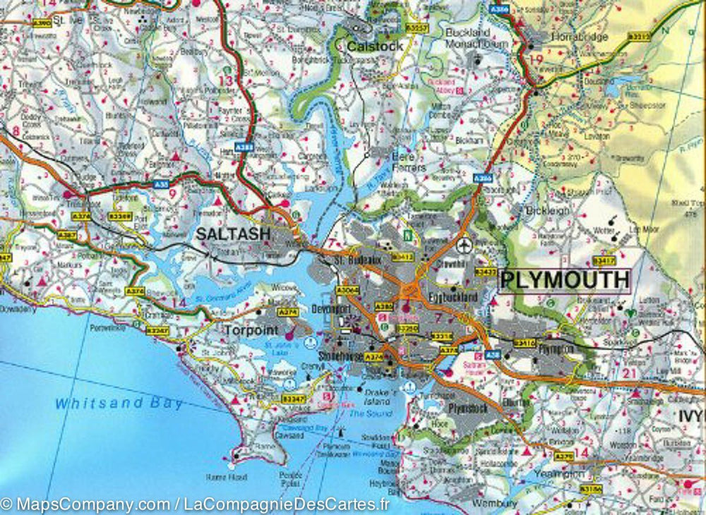
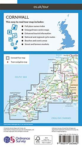
Description provided by the publisher: Map of Part of the Southern Section of the 630 mile (1014 km) South West Coast Path National Trail. Covers The Trail from St Ives to Plymouth Along The West Cornwall and Devon Coastline. This Convenient and Compact Booklet of Ordnance Survey 1: 25,000 Maps Shows The Route, Providing All of the Mapping You Need to Walk The Trail in Either direction.
Seasons: This National Trail May Be Walked Year - Round: Be Aware That Winter Accommodation Availability May Be Limited, While High Summer Will Be Extremely Busy and The Weather Often Hot.
Centers: Many Centers are passing along The Route, Including Penzance, Falmouth, Mevagissey, Polperro, Plymouth.
Difficulty: The South West Coast Path Is A Long Walk! MOST PATHS ARE EASY TO MODERATE, with Some walks Along Rugged and Exposed Coastal Cliff Paths and Some Steep Gradients. MUST SEE: Areas of Outstanding Natural Beauty, The Jurassic Coast Natural World Heritage Site, Numerous Heritage Coasts, National and Local Nature Reserves, Special Sites of Special Scientific Interest and National Trust Holdings.


ISBN/EAN : 9781852849375
Publication date: 2017
Folded dimensions: 12 x 17cm
Language(s): English
Weight: 121 g

Customer Reviews

No reviews yet
0%
(0)
0%
(0)
0%
(0)
0%
(0)
0%
(0)