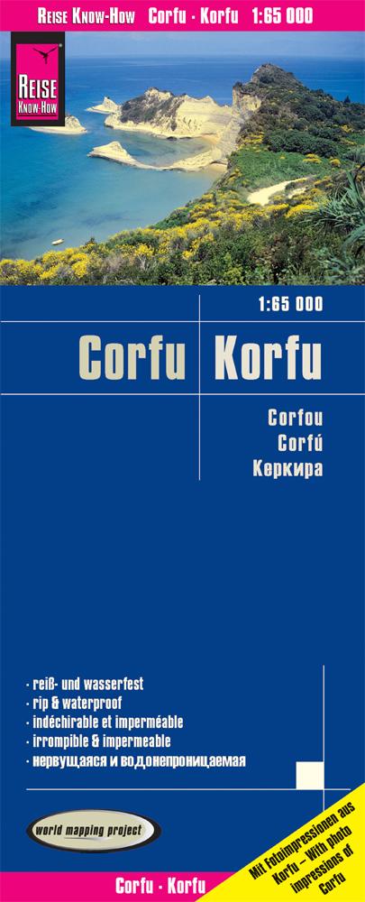
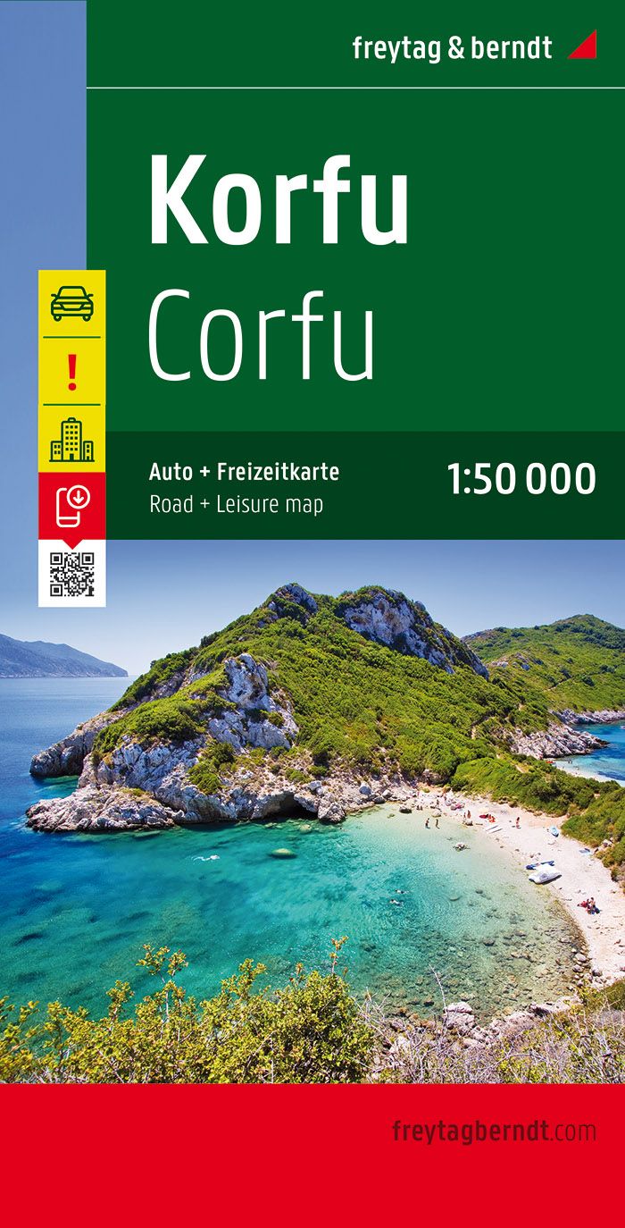
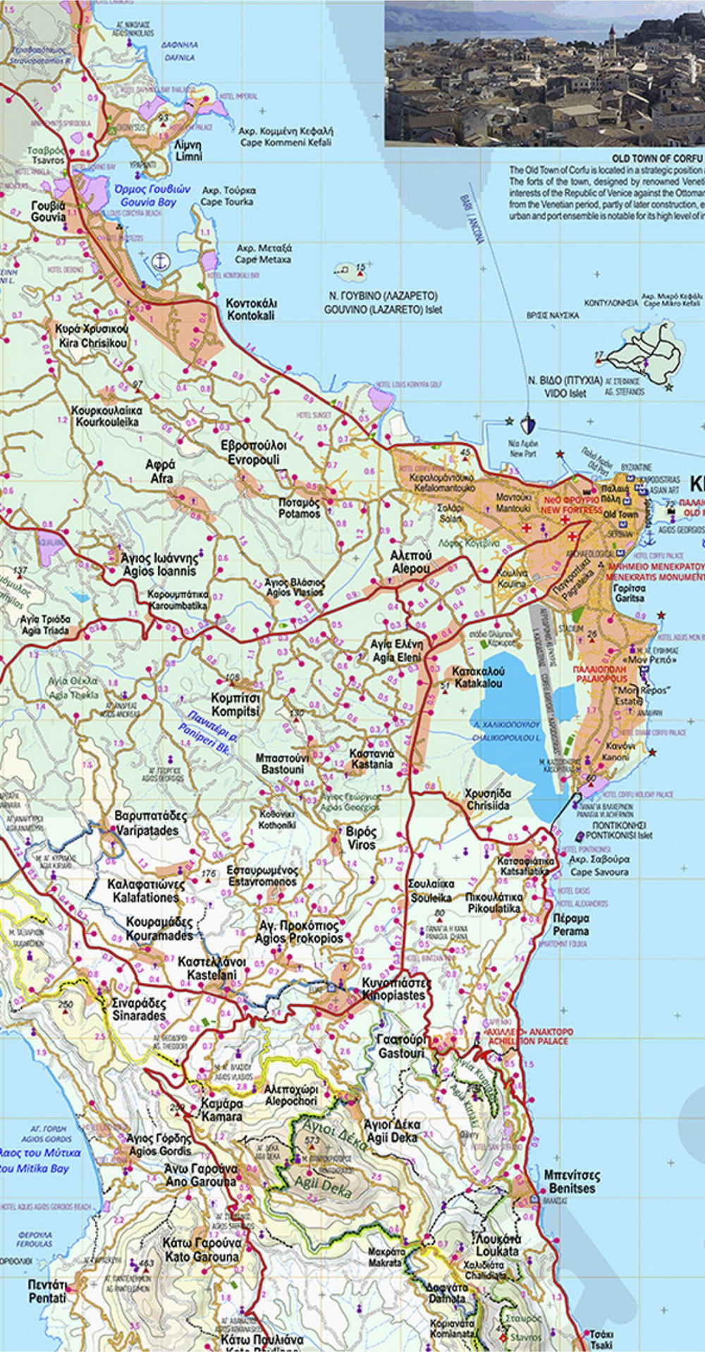
Corfu Road map (Ionian Sea) published by Reise Know How. Mapping the relief and index of cities included, as well as the maritime links with the continent. This detailed map of Corfu Island is indich and waterproof.
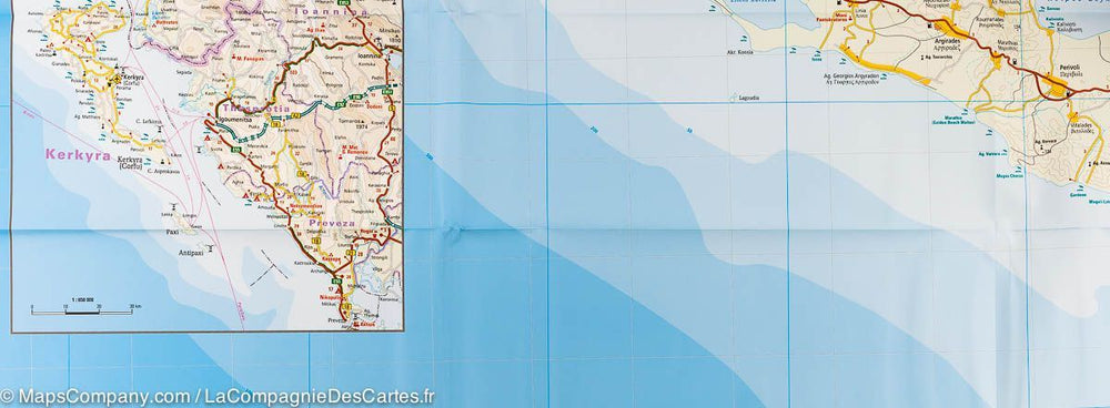
- level curves with altitude information
- color shades according to the altitude
- road network classified with distance indications
- points of interest
- cities index
- information for GPS
- longitude and latitude
- utm grid
- Legend in four languages (German, English, French, Spanish)
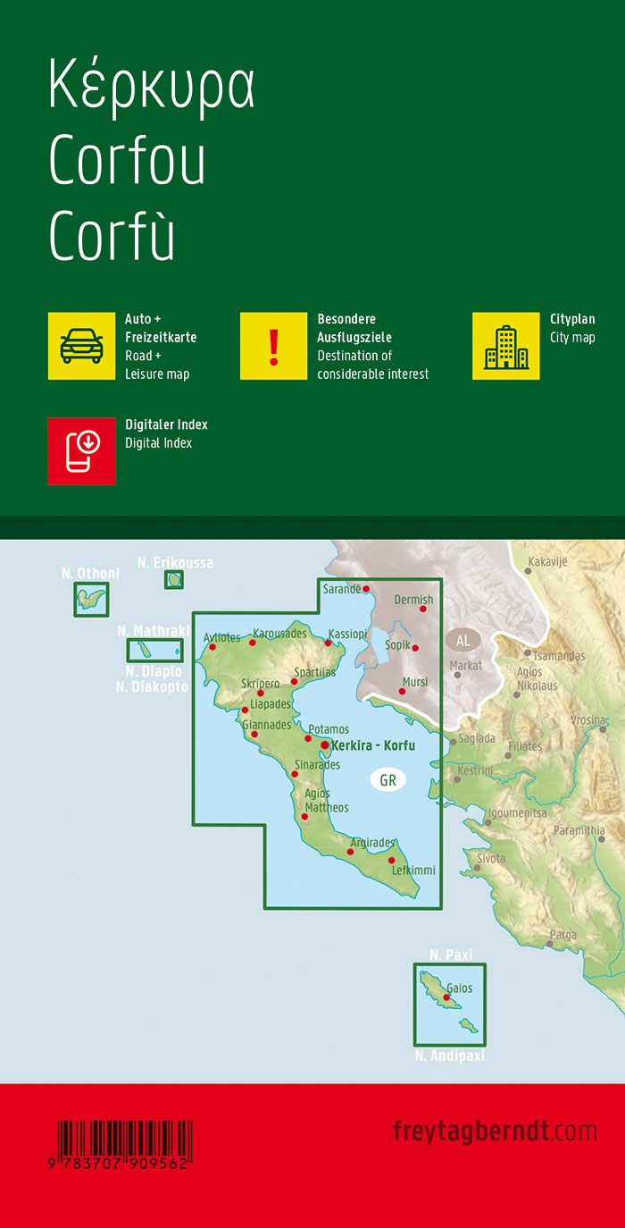
- small map with the Greek coast, corfu, paxos and antipaxos
Scale 1: 65 000 (1 cm = 650 m)
- color shades according to the altitude
ISBN/EAN : 9783831774234
Publication date: 2019
Scale: 1/65000 (1cm=650m)
Printed sides: front
Folded dimensions: 26 x 11.5 x 0.8cm
Unfolded dimensions: 101 x 70cm
Language(s): French, German, English, Spanish, Russian
Weight:
84 g


