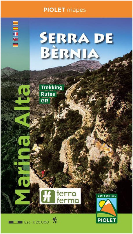
A very detailed hiking map of a beautiful region just north of Benidorm.
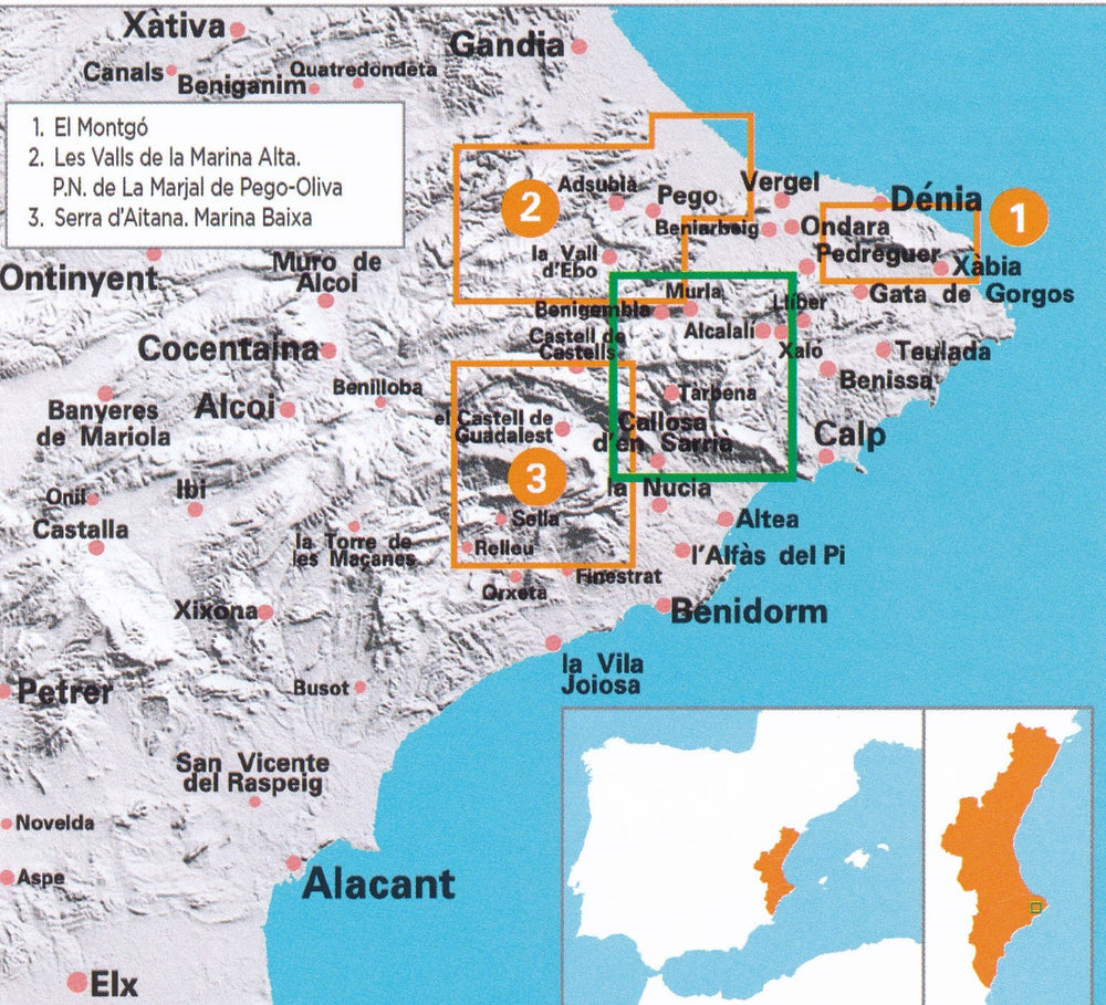
The Sierra de Bèrnia is located on the dividing line between the counties of Marina Alta and Marina Baja, in the Valencian Community.
It stretches 11 kilometers perpendicular to the coast, from the Bolulla fault in the west to Morro de Toix in the east, where it plunges into the waters of the Mediterranean Sea.
The highest peak of the Serra de Bèrnia, which is used as a geodetic summit, is located in the municipality of Xaló at an altitude of 1,128 m above sea level.
The Spanish publisher Editorial Piolet produces particularly detailed maps of Spain's subregions, suitable for hikers and mountain bikers. Traditionally, they began in the Barcelona region, but they are increasingly expanding to other parts of Spain.
The maps have a topographical background with contour lines, peaks, shadows on mountain ridges, roads and villages, hamlets, and even farms. In addition, they have marked some hiking trails, including GR trails and PR trails, the regional long-distance hiking trails. Other hiking trails are marked, but with the normal black lines instead of a striking color. Mountain bike routes are also shown on some maps, but this is the exception rather than the rule. The symbols indicate other useful things such as campsites, attractions, caves, etc.