![Telluride Map [Local Trails] | National Geographic carte pliée](http://mapscompany.com/cdn/shop/products/carte-de-telluride-local-trails-national-geographic-carte-pliee-national-geographic-721253.jpg?v=1694458046&width=1080)
Telluride Map [Local Trails] | National Geographic
Regular price
$14.00
Regular price
Sale price
$14.00
Save $-14
/
- Shipping within 48 business hours from our warehouse in the USA. For this product, customs fees may be requested by the carrier upon delivery.
- Delivery costs calculated instantly in the basket
- Free returns (*)
- Real-time inventory
- In stock, ready to ship
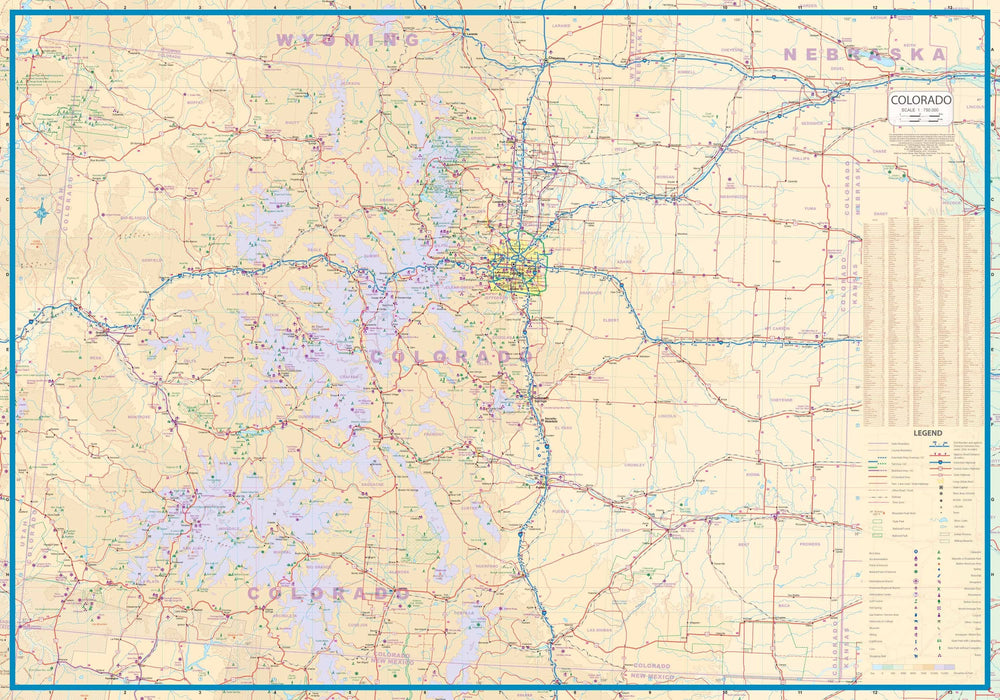
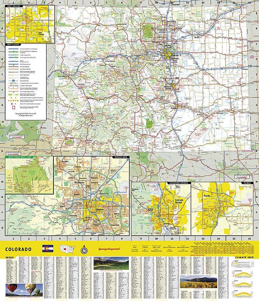
Related geographic locations and collections: Colorado
![Telluride Map [Local Trails] | National Geographic carte pliée](http://mapscompany.com/cdn/shop/products/carte-de-telluride-local-trails-national-geographic-carte-pliee-national-geographic-721253.jpg?v=1694458046&width=900)