Colorado : state map : easy to read! | Rand McNally carte pliée

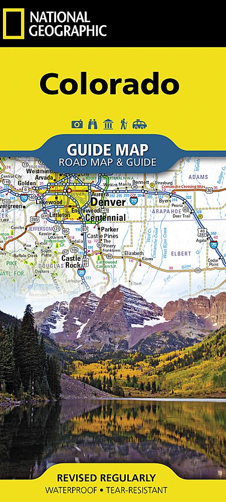
Colorado : state map : easy to read! | Rand McNally

Price
Regular price $11.00
Regular price Sale price $11.00
Save $-11
/
  • Shipping within 48 business hours from our warehouse in the USA. For this product, customs fees may be requested by the carrier upon delivery.
  • Delivery costs calculated instantly in the basket
  • Free returns (*)
  • Real-time inventory
  • In stock, ready to ship
  • Backordered, shipping soon
Tax included.

Often purchased together:

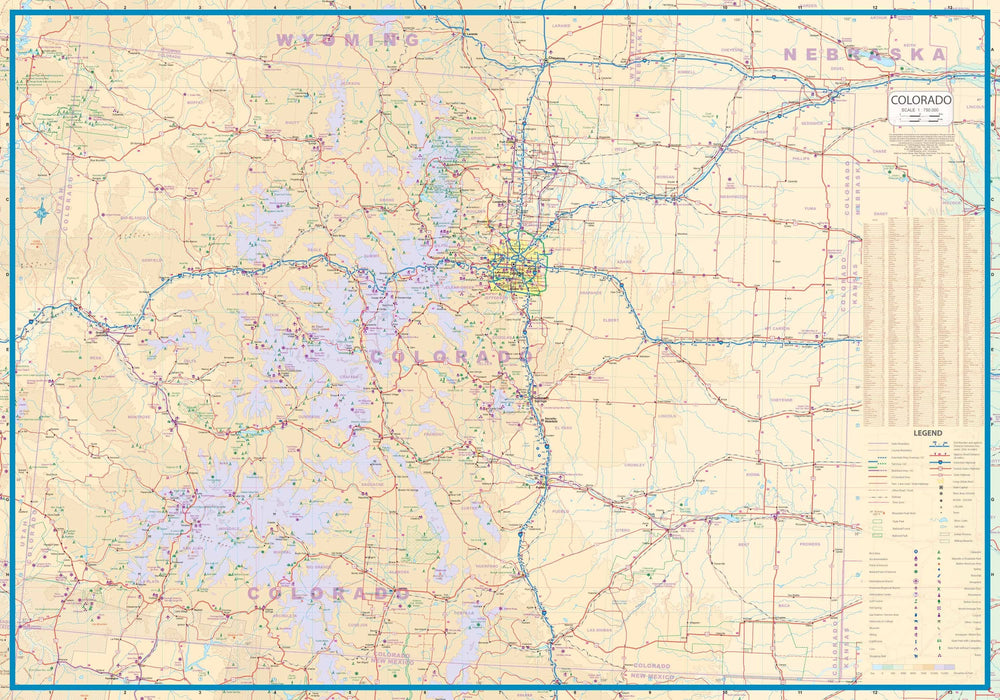
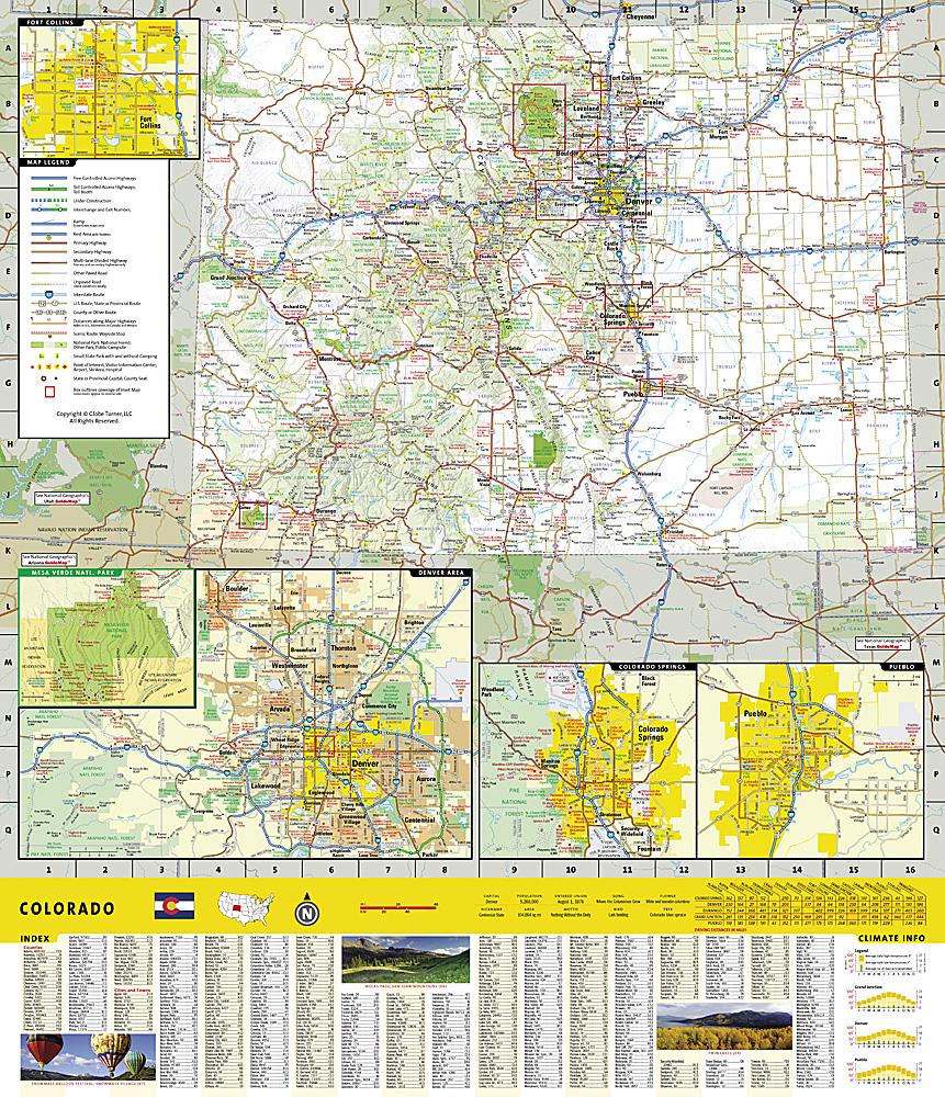
The map includes Boulder, Colorado Springs, Denver and vicinity, downtown Denver, Fort Collins, Greeley, Pueblo, Mesa Verde National Park, Rocky Mountain National Park.


ISBN/EAN : 9780528024443
Publication date: 2021
Folded dimensions: 9.45 inches x 4.33 inches (24 x 10 cm)
Unfolded dimensions: 28.35 inches x 40.16 inches (72 x 102 cm)
Language(s): English
Weight: 2.0 oz

Customer Reviews

Be the first to write a review
0%
(0)
0%
(0)
0%
(0)
0%
(0)
0%
(0)