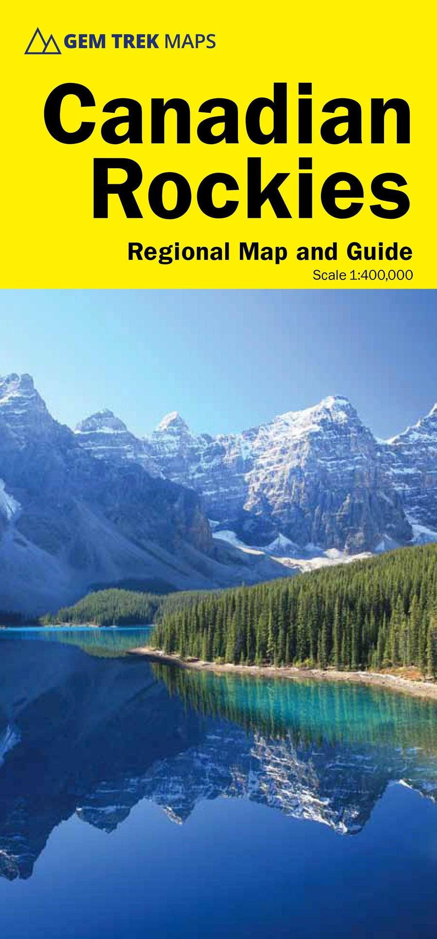
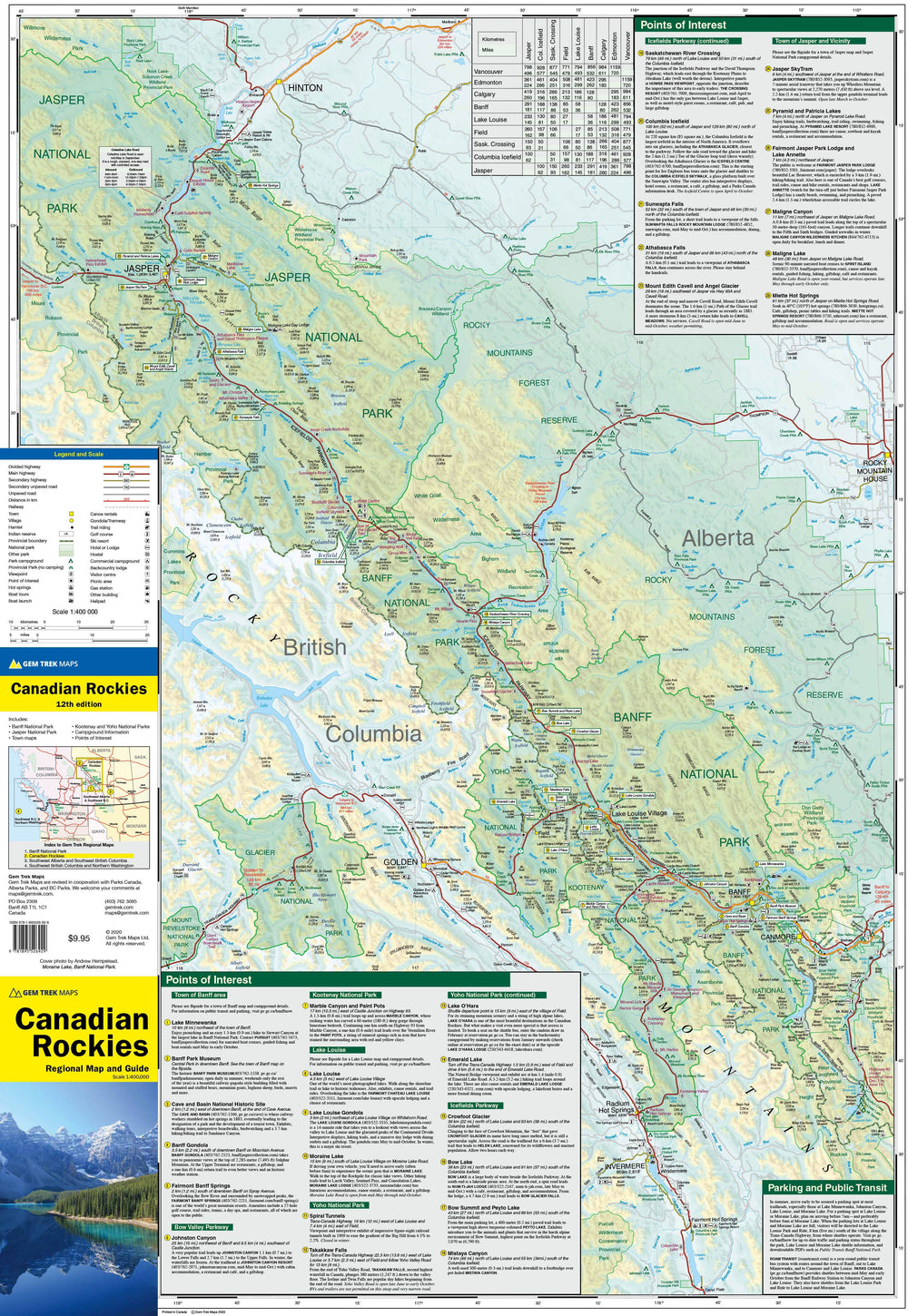
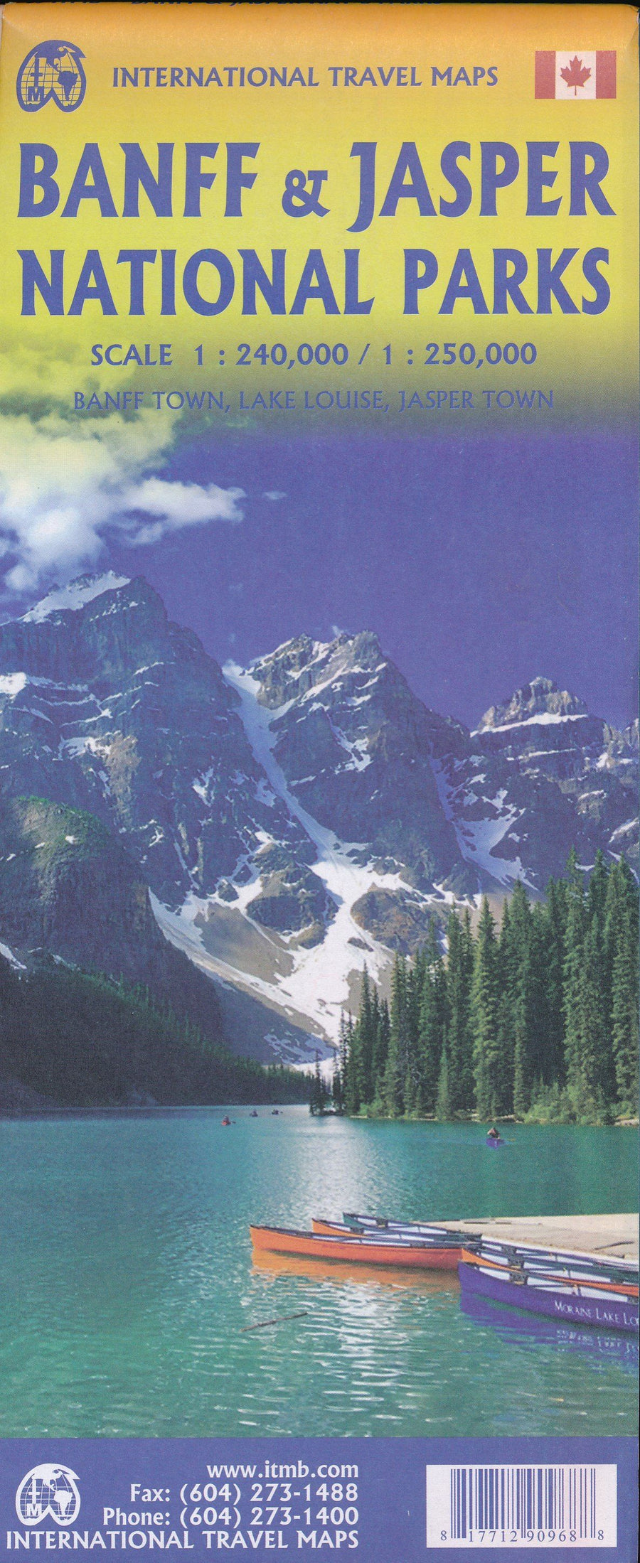
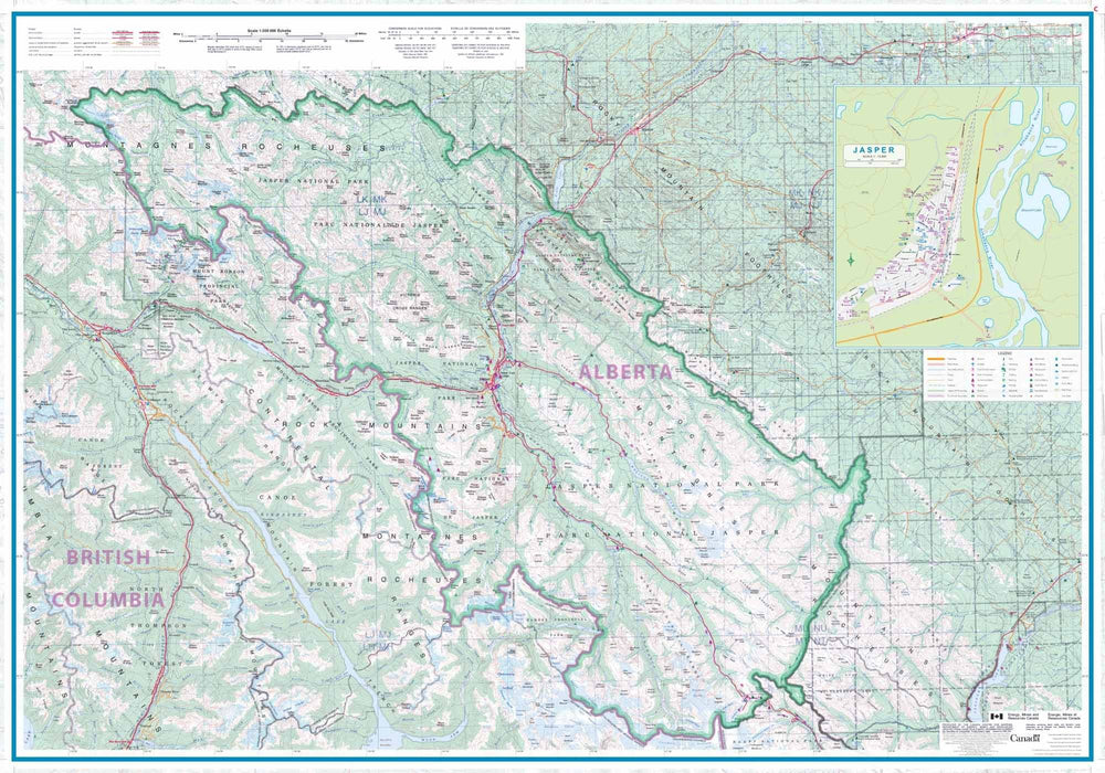
Explore the Canadian Rockies and their hidden treasures
Perfect for travelers looking to explore the Canadian Rockies east and west, this map covers the foothills of Alberta , the Kootenays region of British Columbia , and west-central Alberta . An invitation to discover the spectacular landscapes, scenic drives, and natural gems of Western Canada.
🧭 Areas covered:
-
The Canadian Rockies (east and west slopes)
-
The Kootenays (BC)
-
The foothills of Alberta
-
West Central Alberta
🚗 What the map shows:
-
All major and secondary roads , including major highways
-
National and provincial parks , protected wilderness areas
-
Little-known roads , ideal for exploring off the beaten track
-
Location of campsites, thermal springs, lodges and nature accommodations
-
Distance tables between major cities and towns, shown on the front and back
🎯 Why choose this card?
-
Ideal for lovers of road trips, camping, hiking, nature and wildlife observation
-
Provides access to little-known routes, far from the classic tourist areas
-
A reliable navigation tool to explore a vast and varied region at your own pace
ISBN/EAN : 9781990161216
Publication date: 2025
Scale: 1/500,000 (1cm=5km)
Printed sides: both sides
Folded dimensions: 24.7 x 11.5 x 0.5cm
Unfolded dimensions: 79 x 62cm
Language(s): English
Weight:
43 g