Blue River Map Guide | National Geographic carte pliée

Blue River Map Guide | National Geographic

Price
Regular price $18.00
Regular price Sale price $18.00
Save $-18
/
  • Shipping within 48 business hours from our warehouse in the USA. For this product, customs fees may be requested by the carrier upon delivery.
  • Delivery costs calculated instantly in the basket
  • Free returns (*)
  • Real-time inventory
  • In stock, ready to ship
  • Backordered, shipping soon
Tax included.

Often purchased together:

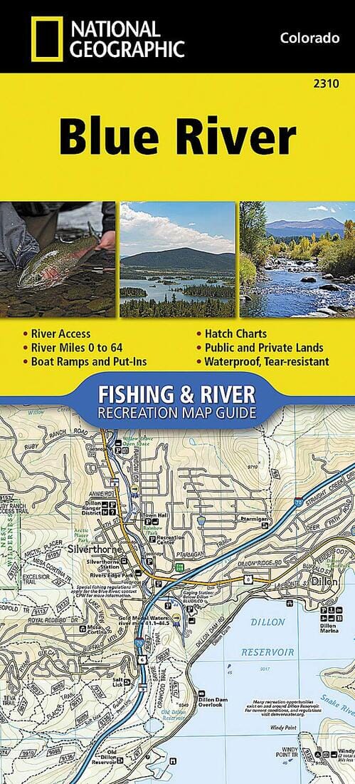
- Waterproof - Tear-Resistant - Fishing & River Map The Blue River Fishing & River Map Guide is designed to be the perfect companion for anyone recreating on this scenic river. Beginning as a small trickle from its perch on the Continental Divide at Hoosier Pass, the Blue River descends approximately 65 miles to reach its confluence with the Colorado River near Kremmling. With a vertical drop of over 4,000 feet, the river winds through varied landscapes and passes through the towns of Blue River, Breckenridge, Dillon, and Silverthorne. It supports a variety of ecosystems as it matures into a medium-sized waterway known for its prolific insect life, large steelhead, and the wild and scenic landscape—punctuated by snow-capped peaks, rugged canyons, and pine-lined banks—through which it flows. Offering numerous recreational opportunities—including kayaking, whitewater rafting, canoeing, stand-up paddleboarding, and fishing—this life-supporting waterway and its tributaries offer a wide variety of opportunities.


ISBN/EAN : 9781566957663
Publication date: 2018
Folded dimensions: 9.38 inches x 4.25 inches (23 x 10 cm)
Language(s): English
Weight: 3.0 oz

Customer Reviews

Be the first to write a review
0%
(0)
0%
(0)
0%
(0)
0%
(0)
0%
(0)