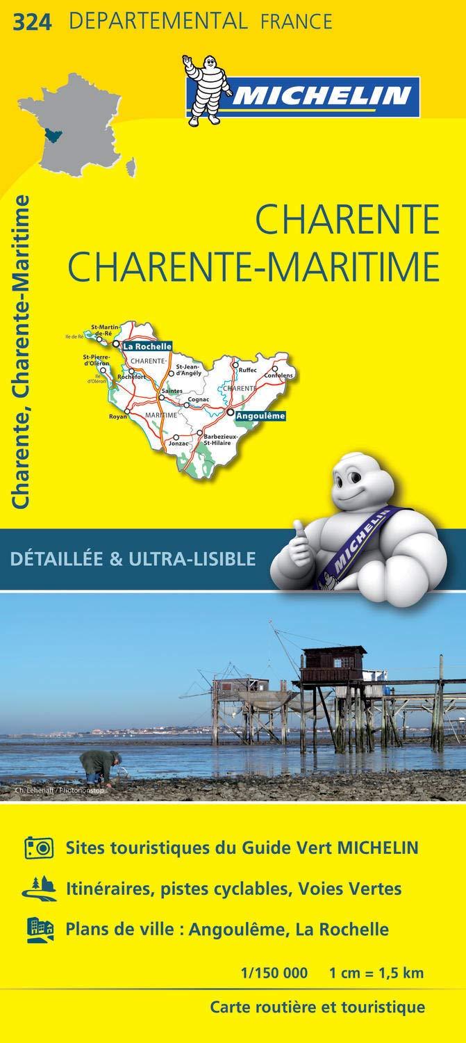
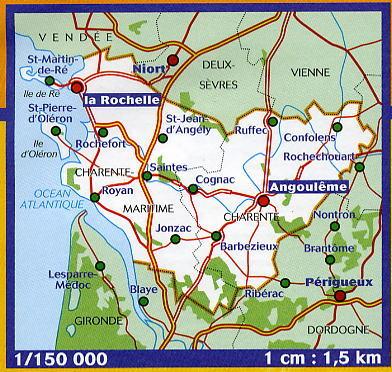
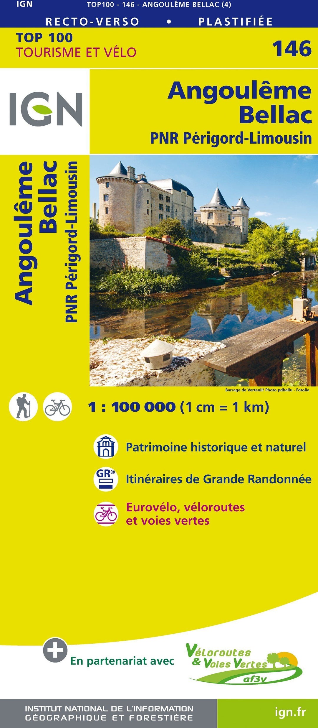
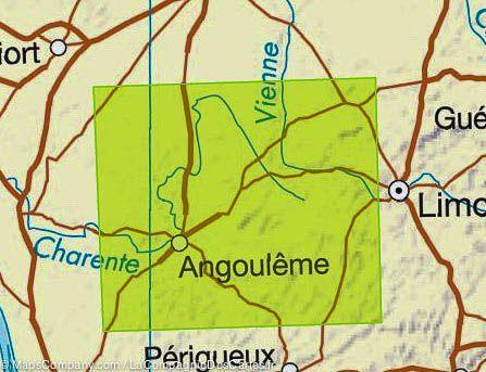
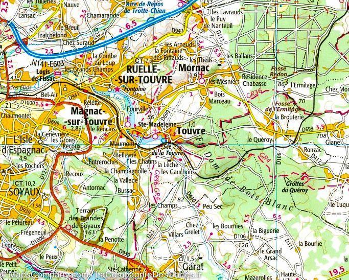
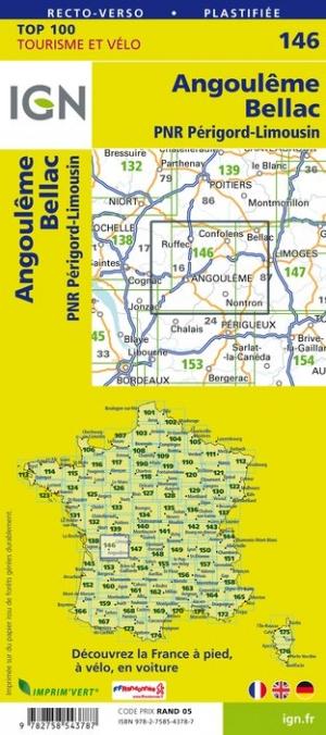
Carte TOP 100 n° 146 - Angoulême, Bellac, PNR Périgord-Limousin | IGN carte pliée IGN
Carte IGN TOP 100 n° 146 - Angoulême, Bellac, PNR Périgord-Limousin - La Compagnie des Cartes

Top 100 Map ° 146 - Angoulême, Bellac, PNR Périgord-Limousin | IGN

Top 100 Map ° 146 - Angoulême, Bellac, PNR Périgord-Limousin | IGN

Regular price $10.00
/
  • Shipping within 24 working hours from our warehouse in France
  • Delivery costs calculated instantly in the basket
  • Free returns (*)
  • Real-time inventory
  • In stock, ready to ship
  • Backordered, shipping soon
Tax included.

Map IGN Top 100 of the Angoulême region, Bellac, and the Périgord-Limousin Regional Natural Park : a road map but also a map of Hiking to discover a region as well by car, cycling or on foot. This map gives with great precision the road network (main roads, secondary, small roads) and motorway and also indicates the hiking trails (GR). The relief is well highlighted by level curves. Indication of bike paths. Signaling of tourist attractions (leisure parks, climbing spots ...).

This map includes GPS compatible grid. It has a brand new duplex format laminated , simpler use, it integrates bicycle routes in partnership with the AF3V association (Véloroutes and Greenways).
The routes are described in order to clearly identify the most accessible or difficult paths, it's up to you to choose according to your expectations.
Scale 1/100 000 (1 cm = 1 km).


ISBN/EAN : 9782758543787
Publication date: 2018
Scale: 1/100,000 (1cm=1km)
Printed sides: both sides
Folded dimensions: 23.6 x 11.2 x 0.5cm
Unfolded dimensions: 120 x 96cm
Language(s): French, English, German
Poids : 89 g

Customer Reviews

Based on 1 review
100%
(1)
0%
(0)
0%
(0)
0%
(0)
0%
(0)
j
jerome l. (Paris, FR)
très bien

Carte souple et solide, une très bonne lecture de plan. Produit conforme à mes attentes.