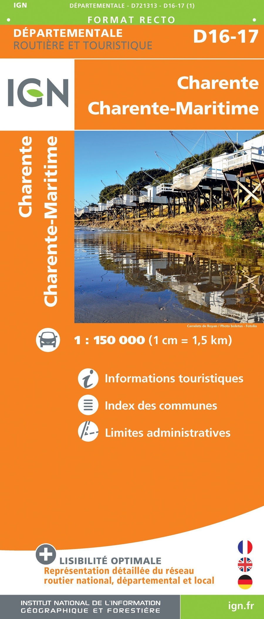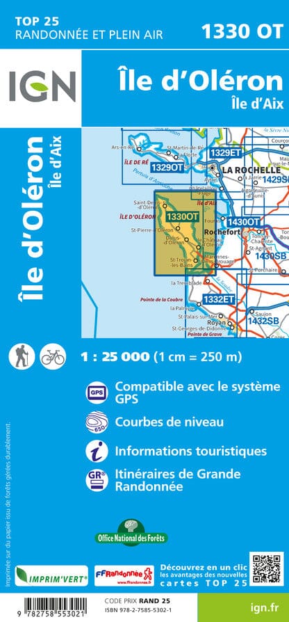
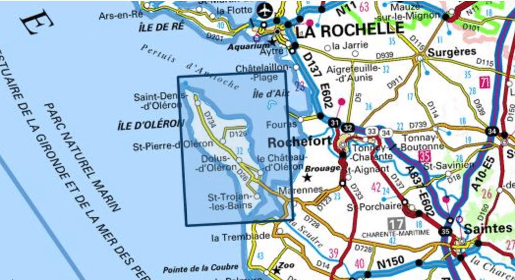

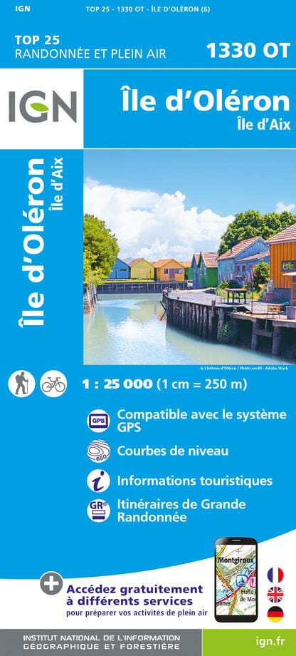


Top 25 map # 1330 OT - Island of Oleron & Isle Aix | IGN
Regular price
$16.00
Regular price
Sale price
$16.00
Save $-16
/
- Shipping within 24 working hours from our warehouse in France
- Delivery costs calculated instantly in the basket
- Free returns (*)
- Real-time inventory
- In stock, ready to ship
Related geographic locations and collections: Charente-Maritime (department 17), France hiking maps - IGN TOP 25 & SÉRIE BLEUE, Isle of Oléron, Nouvelle-Aquitaine, South-West France hiking maps - IGN TOP 25 & SÉRIE BLEUE