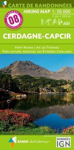
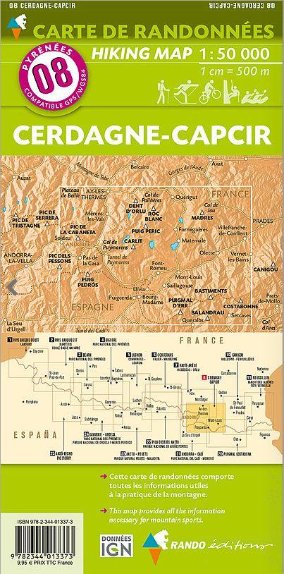
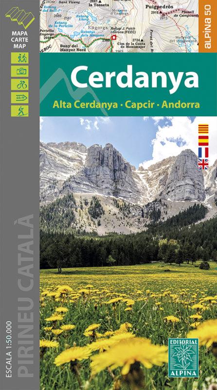
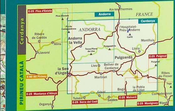
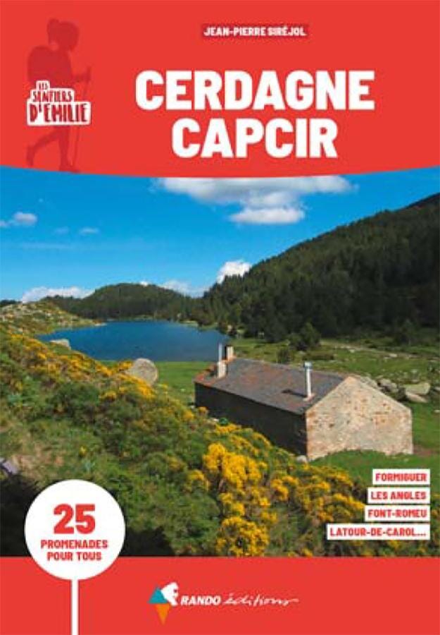
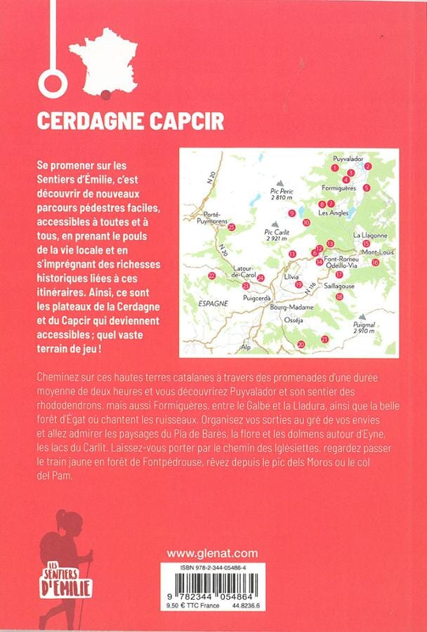
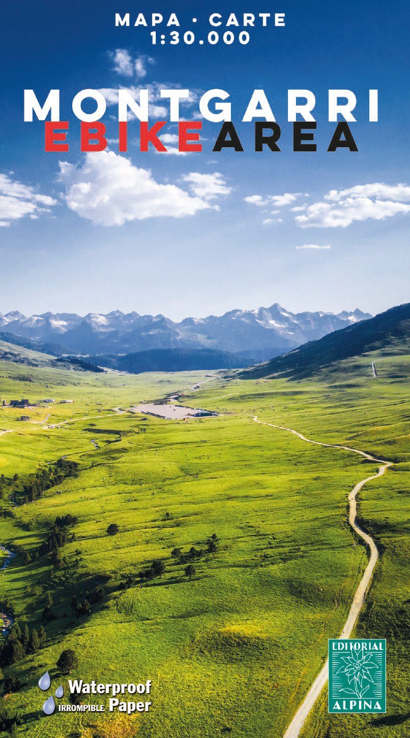
Detailed hiking map of Mount Carlit and Lake Bollosa. The map covers an area between Haute-Cerdanya, Capcir, and Ariège, a privileged environment for hiking with impressive high mountain landscapes. It features iconic peaks such as Carlit (2,921 m) and Puig Peric (2,810 m), as well as vast lake areas formed by glacial lakes.
Map sector : Catalan Pyrenees. Cerdanya, Capcir and Ariège. Carlit, Bouillouses and Puig Peric sector.
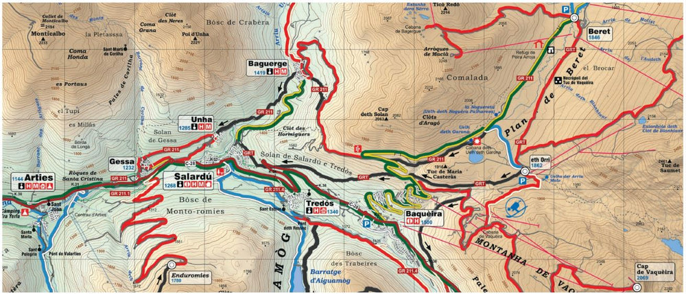
Map features : 1:30,000 topographic map with information of interest to hikers: shelters, marked trails (GR, PR, local trails), mountain trails, etc.
The folding flap includes:
- Guarded shelters
- Protected areas
- Hiking
- Must-see sites
ISBN/EAN : 9788470111709
Publication date: 2025
Scale: 1/30,000 (1cm=300m)
Printed sides: front
Folded dimensions: 21 x 12.5 x 1cm
Unfolded dimensions: 98 x 68cm
Language(s): French, English, Castilian, Catalan
Weight:
116 g


