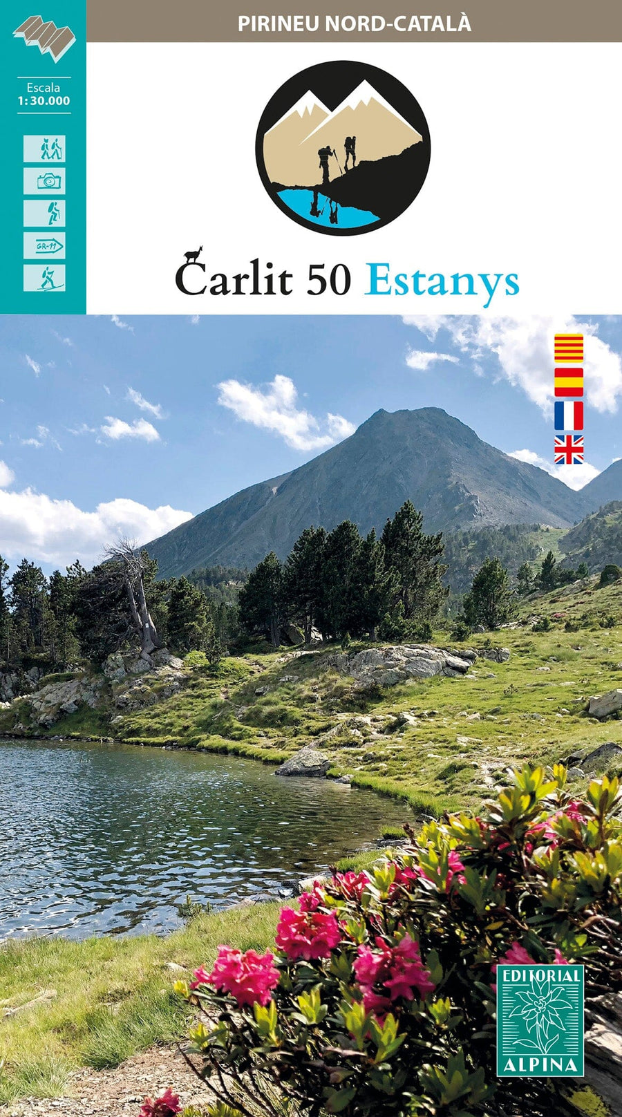
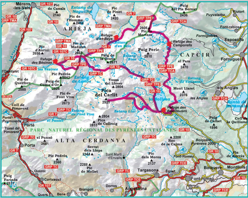
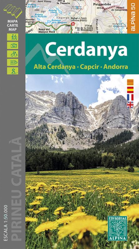
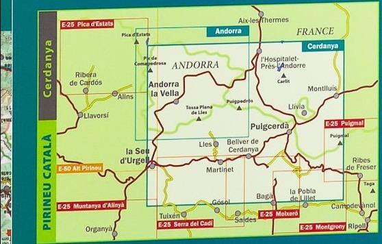
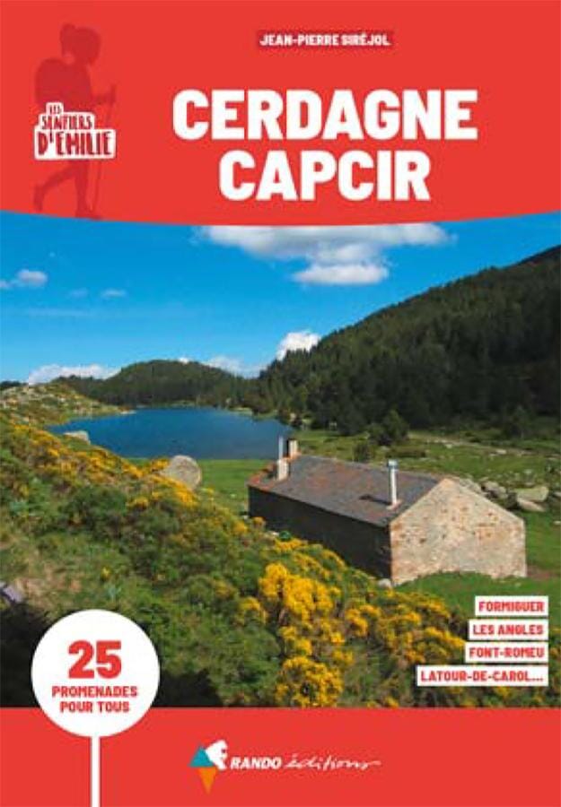
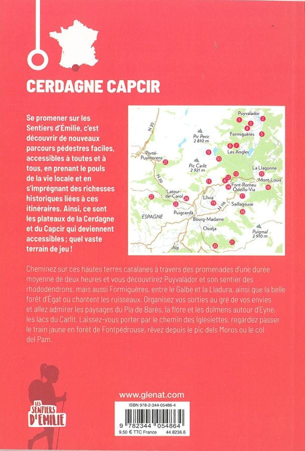
Ahead of us, more than 50 lakes spread over 5 stages in the Carlit, Puig Peric, and Les Bouillouses region. This circular hike was designed to explore this sector of the Pyrenees in depth, without technical obstacles, with magnificent landscapes, and crowning the highest peak in the Pyrénées Orientales: Carlit (2,921 m).
The stages cross animal reserves, natural parks, and places with varying degrees of environmental protection, due to the high ecological value of its flora, fauna, and landscapes.
The file included with the map presents the different stages.
ISBN/EAN : 9788480909808
Publication date: 2023
Scale: 1/30,000 (1cm=300m)
Printed sides: front
Folded dimensions: 21 x 12.5 x 1cm
Unfolded dimensions: 98 x 68cm
Language(s): English Spanish
Weight:
171 g


