Carte de randonnée n° 4 - Bigorre (Pyrénées) | Rando Editions carte pliée Rando Editions
Hiking Map # 4 - Bigorre (Pyrenees) | Rando Editions (French)
Carte de randonnée n° 4 - Bigorre (Pyrénées) | Rando Editions carte pliée Rando Editions

Hiking Map # 4 - Bigorre (Pyrenees) | Rando Editions (French)

Hiking Map # 4 - Bigorre (Pyrenees) | Rando Editions (French)

Regular price $16.00
/
  • Shipping within 24 working hours from our warehouse in France
  • Delivery costs calculated instantly in the basket
  • Free returns (*)
  • Real-time inventory
  • In stock, ready to ship
  • Backordered, shipping soon
Tax included.
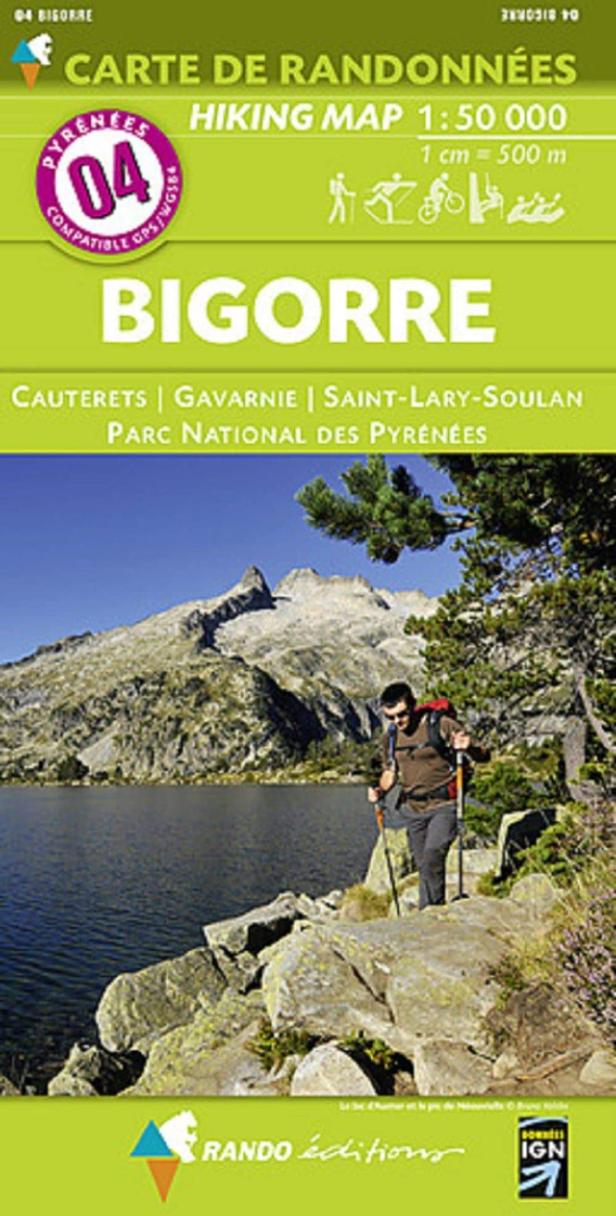
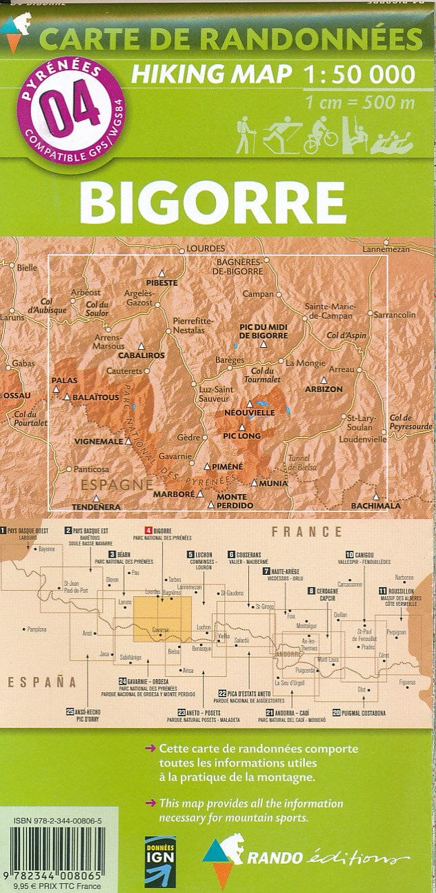
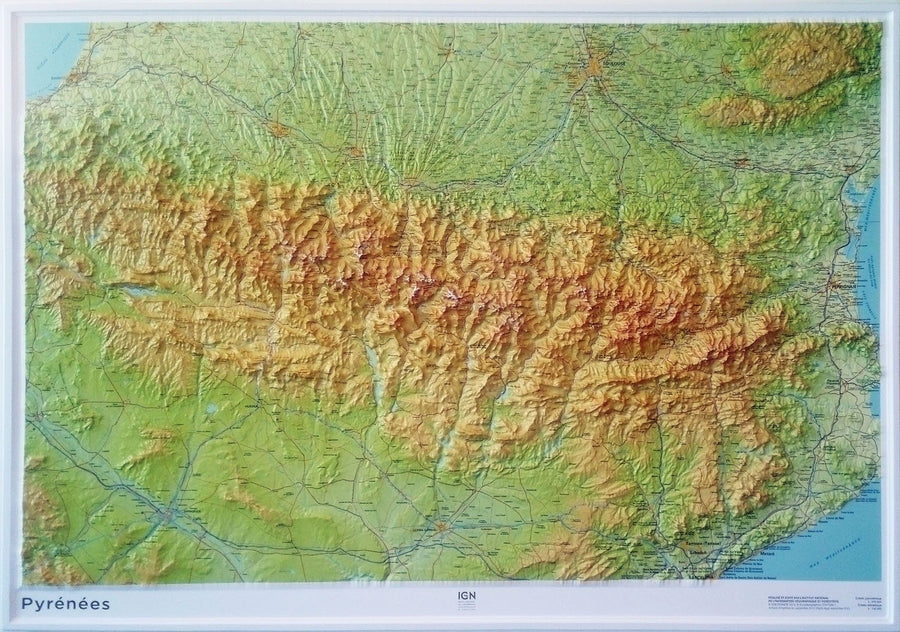
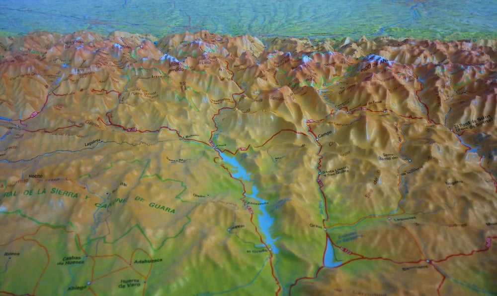
Bigorre hiking map (Pyrenees) published by Rando Editions with the Pyrenees National Park and the regions of Cauterets, Gavarnie, Saint-Lary-Soulan. Topographic Map with level curves and useful information to the mountain practice included. Scale 1/50 000 (1 cm = 500 m).


ISBN/EAN : 9782344008065
Publication date: 2015
Scale: 1/50,000 (1cm=500m)
Printed sides: front
Folded dimensions: 22.5 x 11 x 0.5cm
Unfolded dimensions: 131 x 90cm
Language(s): French English
Poids : 90 g

Customer Reviews

Based on 3 reviews
67%
(2)
0%
(0)
0%
(0)
0%
(0)
33%
(1)
J
Jean E. (Campan, FR)
Qualité à la baisse

Impression de cette carte à l'économie par rapport aux précedentes éditions. Manque de details nécessaires à une randonné, pas d'indications pour un usage à la boussole, etc...
On voit que cette carte vise plus les touristes que les vrais randonneurs ou montagnards. La carte est plus claire pour un néophite mais presque inutile pour ce à quoi elle devrait étre destinée.

J
Jmet (Tonnay-Charente, FR)
Envoi rapide, prix correct, très bon service et grand choix de documents sur ce site. Merci!

Envoi rapide, prix correct, très bon service et grand choix de documents sur ce site. Merci!

A
An Z.6. (Orthez, FR)
Parfait

Très bien, rapide, en parfait état.