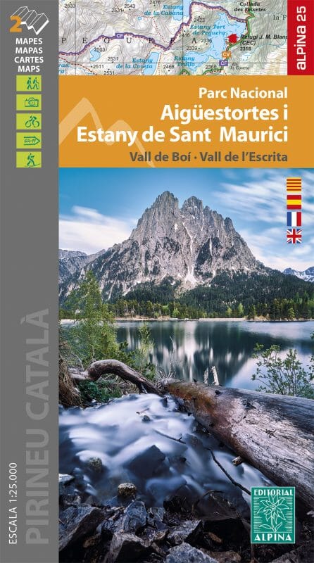
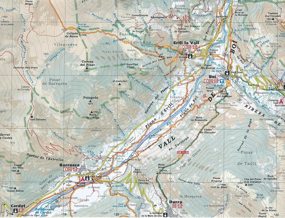
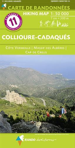
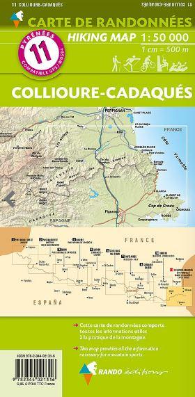
Carte de randonnée - Serra de Collserola (Catalogne, Espagne) | Alpina carte pliée Editorial Alpina

Hiking Map - Serra Natural Park of Collisela (Catalonia) | Alpina

Hiking Map - Serra Natural Park of Collisela (Catalonia) | Alpina

Regular price $17.00
/
  • Shipping within 24 working hours from our warehouse in France
  • Delivery costs calculated instantly in the basket
  • Free returns (*)
  • Real-time inventory
  • Low stock - 2 items left
  • Backordered, shipping soon
Tax included.

Detailed topographic map of the Serra de Collisela, on the Catalan coast of Barcelona.

The detailed hiking map, edited by Editorial Alpina, is in color with the level curves and the guide (in Catalan) includes the different hikes possible (on foot, by bike) with the differences, the estimated times and the Explanations.

All is protected by a laminated case.


ISBN/EAN : 9788480908320
Publication date: 2020
Scale: 1/20,000 (1cm=200m)
Printed sides: front
Folded dimensions: 21 x 12.5 x 1cm
Unfolded dimensions: 89 x 68cm
Language(s): English, Castilian and Catalan
Poids : 150 g

Customer Reviews

No reviews yet
0%
(0)
0%
(0)
0%
(0)
0%
(0)
0%
(0)