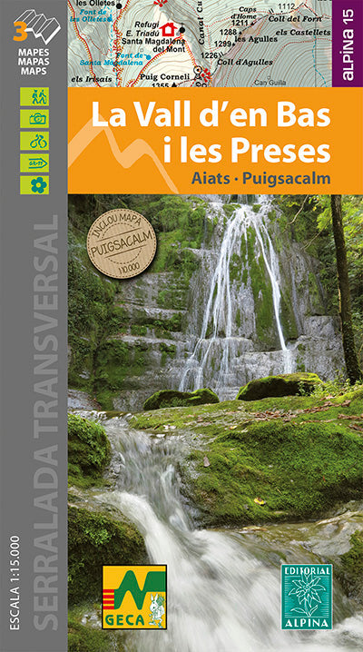
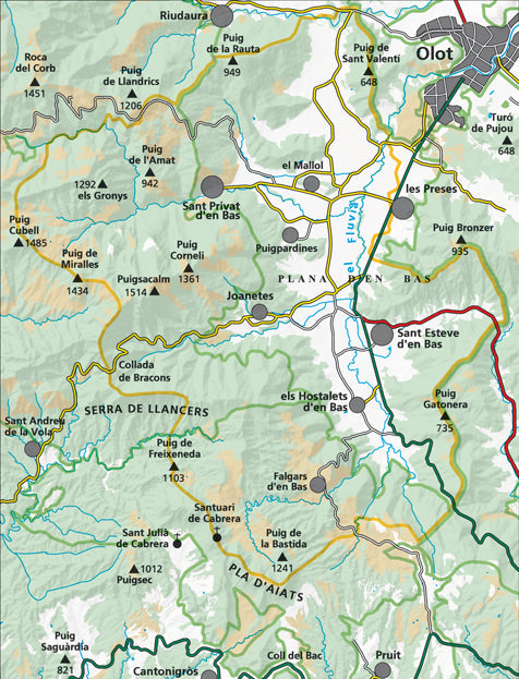
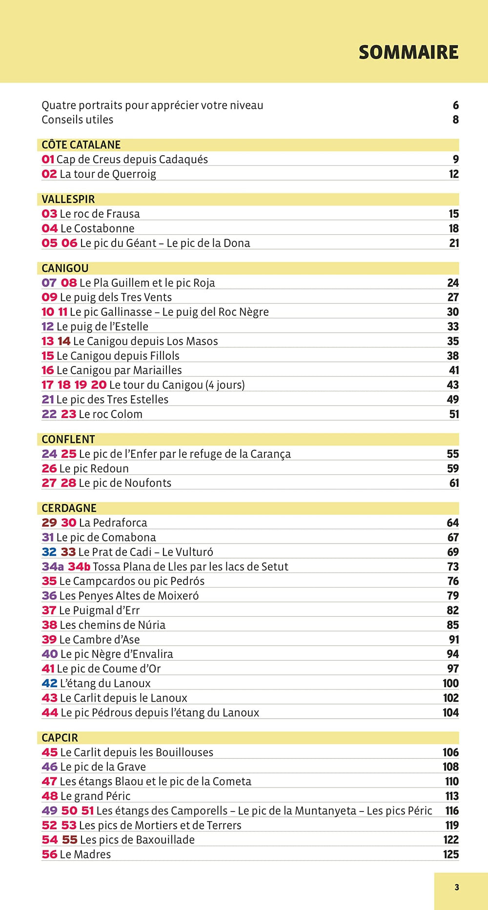
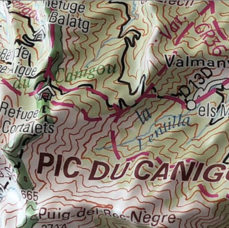
Hiking map - Vall d'en Bas i les Preses, Aiats, Puigsacalm (Catalan Pyrenees, Spain) | Alpina
Regular price
$21.00
Regular price
Sale price
$21.00
Save $-21
/
- Shipping within 24 working hours from our warehouse in France
- Frais de livraison calculés instantanément dans le panier
- Retours gratuits (*)
- Stocks en temps réel
- In stock, ready to ship
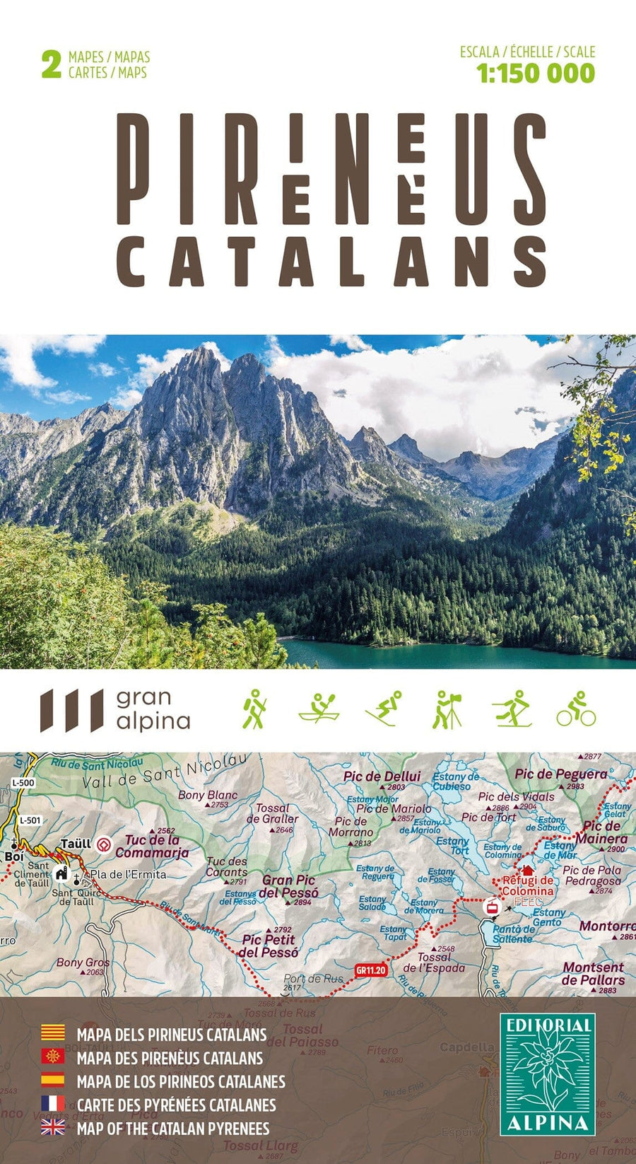
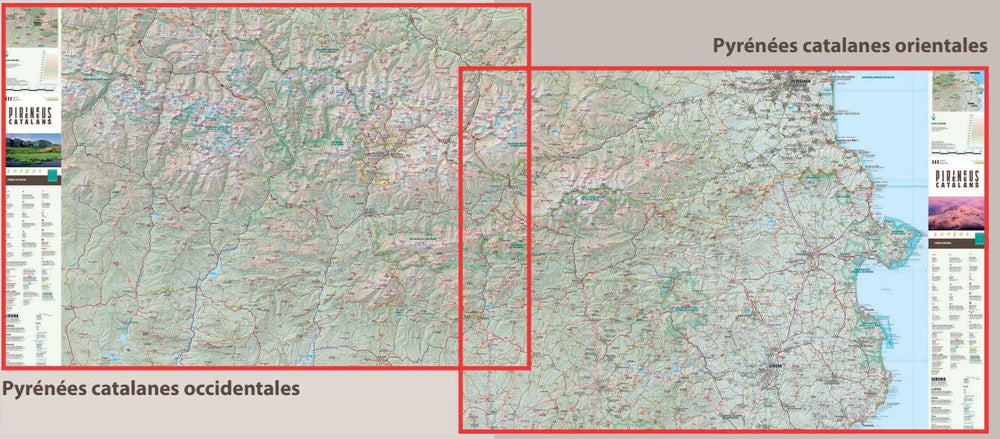
Related geographic locations and collections: Catalan Pyrenees, Catalonia, Editorial Alpina, Garrotxa, Pyrenees, Spanish Pyrenees, Spanish Pyrenees - Assembly Table - Editorial Alpina