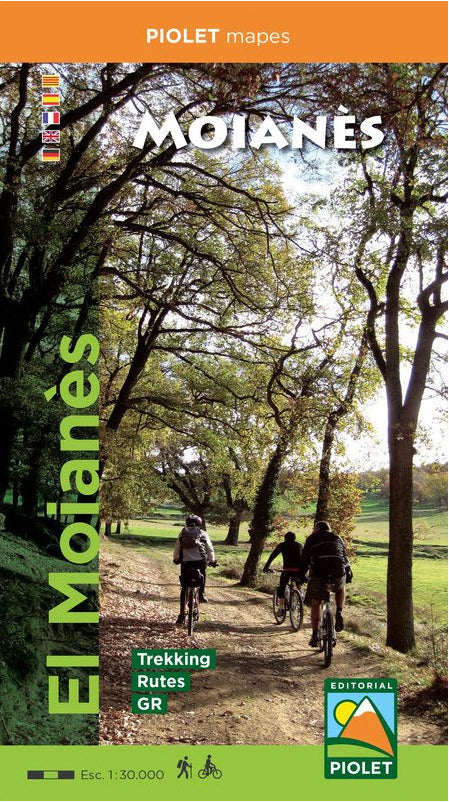
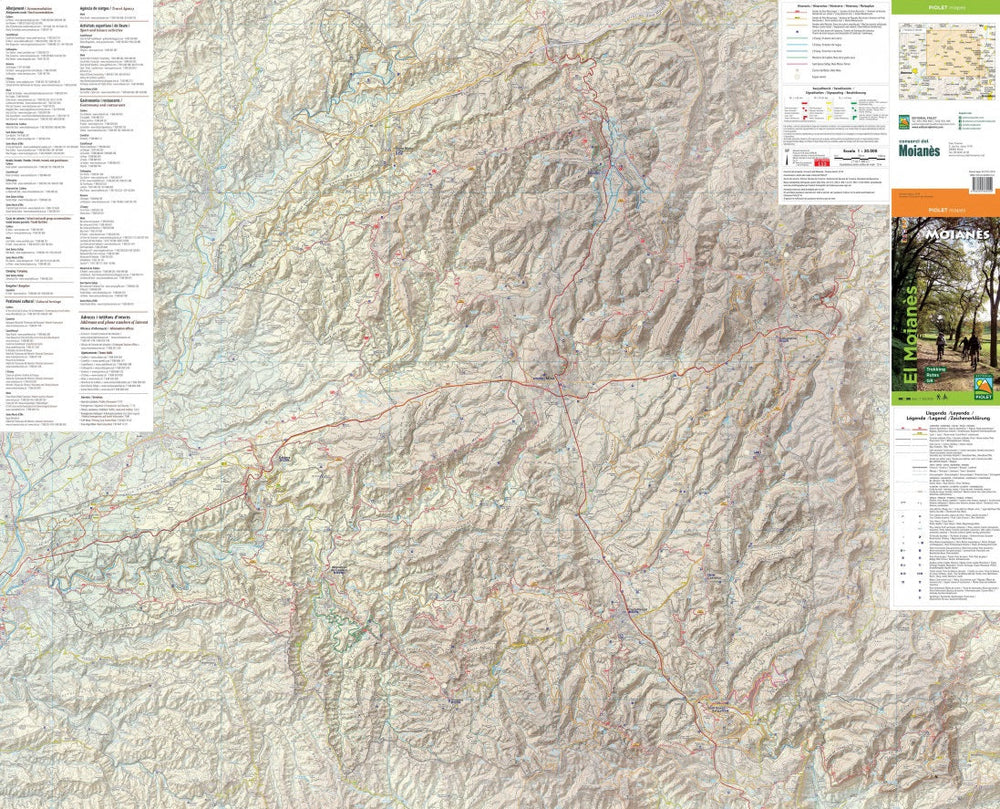
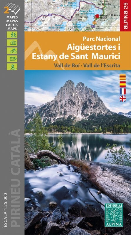
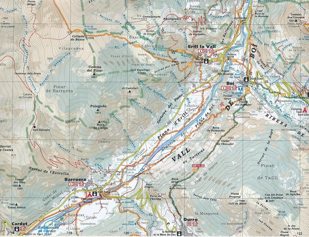
The map has a topographical background with contour lines, peaks, shadows on mountain ridges, roads and villages, hamlets, and even farms. In addition, some hiking trails are marked, including GR trails and PR trails, regional long-distance hiking trails.
ISBN/EAN : 9788494865459
Publication date: 2019
Scale: 1/30,000 (1cm = 300m)
Folded dimensions: 12x21cm
Language(s): French, Castilian, Catalan, English
Weight:
80 g


