Large, waterproof map of Madrid, essentially covering the entire ring road area. All streets are named and listed in a toponymic index.
Indicates parks, tourist attractions, hotels, shopping areas, churches, mosques, restaurants, pubs, and public transport lines. Coverage extends from the train station in the south to the university in the north, and from Parque del Oeste in the west to the bullring in the east.
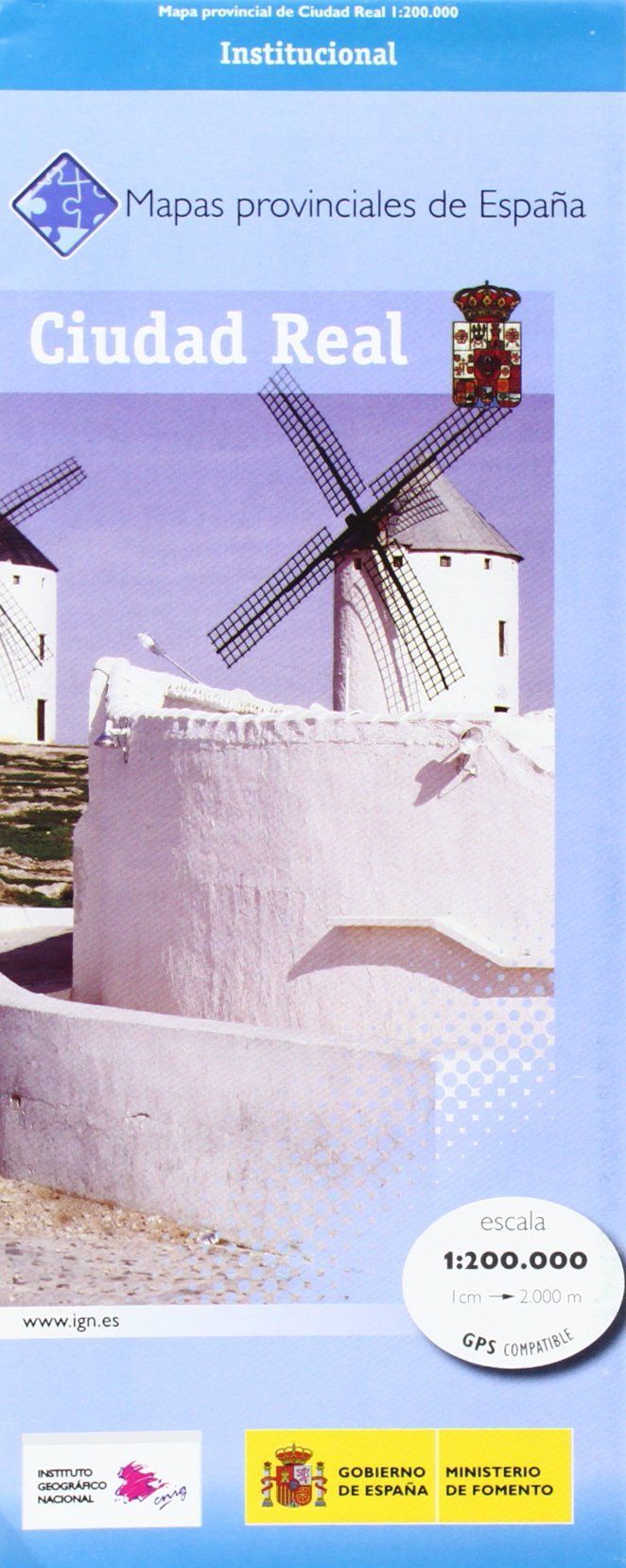
The back is a detailed regional map of the province of Castilla La Mancha south of Madrid, including Toledo, Albacete, Murcia, and Córdoba. All roads and parks are indicated, as well as the main tourist attractions.
ISBN/EAN : 9781771294843
Publication date: 2023
Scale: 1/115,000 (1cm=1.15km) & 1/10,000 (1cm=100m)
Printed sides: front
Folded dimensions: 24.6 x 10.3 x 0.5cm
Unfolded dimensions: 100 x 68cm
Language(s): English
Weight:
80 g


