Wall map of Glacier and Waterton Lakes National Parks (Tubed) | National Geographic

Glacier and Waterton Lakes National Parks Wall Map | National Geographic

Price
Regular price $24.00
Regular price Sale price $24.00
Save $-24
/
  • Shipping within 48 business hours from our warehouse in the USA. For this product, customs fees may be requested by the carrier upon delivery.
  • Delivery costs calculated instantly in the basket
  • Free returns (*)
  • Real-time inventory
  • In stock, ready to ship
  • Backordered, shipping soon
Tax included.

Often purchased together:


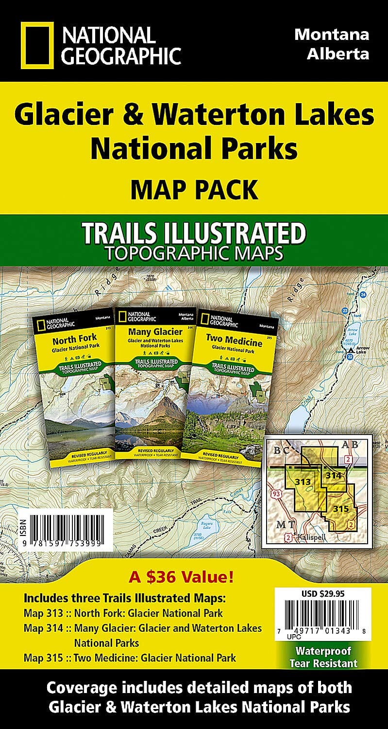
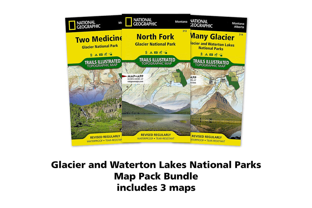
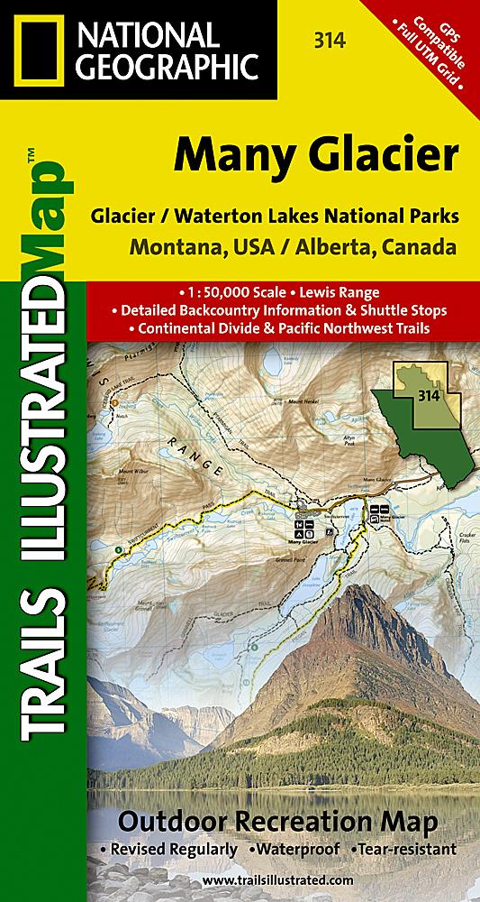
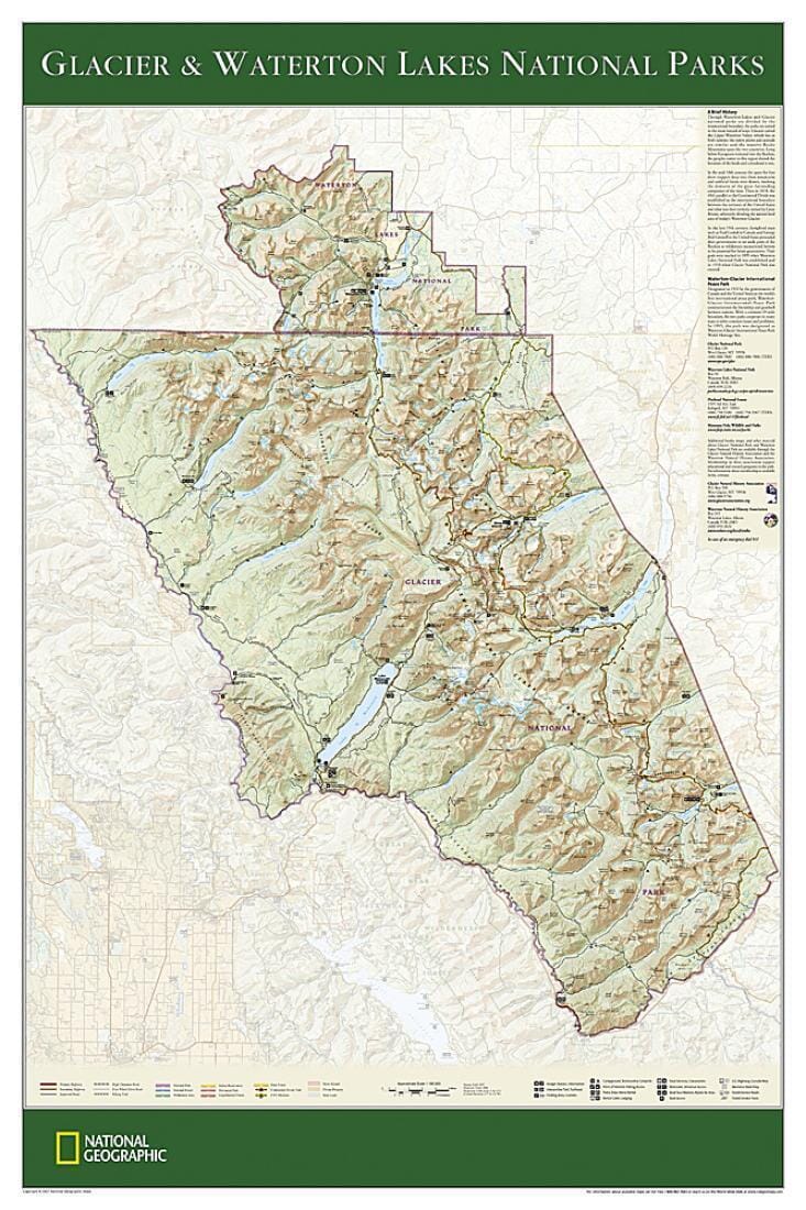
Wall map of Glacier and Waterton Lakes National Parks (Montana, Alberta, Canada) published by National Geographic.
This beautiful wall map of Glacier and Waterton Lakes National Parks is poster-sized for easy framing and hanging. Based on the popular Trails Illustrated map of these parks, this poster offers rich topographical detail to show the park's beautiful lakes and terrain, as well as up-to-date trail and road information. A perfect souvenir of this glorious region.

The map is printed on premium paper, rolled, and packaged in a clear, hard plastic tube.
Scale: 1:160,000.
Map size: 29.72 x 22.44 inches.


ISBN/EAN : 9781597751438
Publication date: 2007
Unfolded dimensions: 29.72 x 22.44 inches (75.5 x 57cm)
Language(s): English
Weight: 180 g

Customer Reviews

Be the first to write a review
0%
(0)
0%
(0)
0%
(0)
0%
(0)
0%
(0)