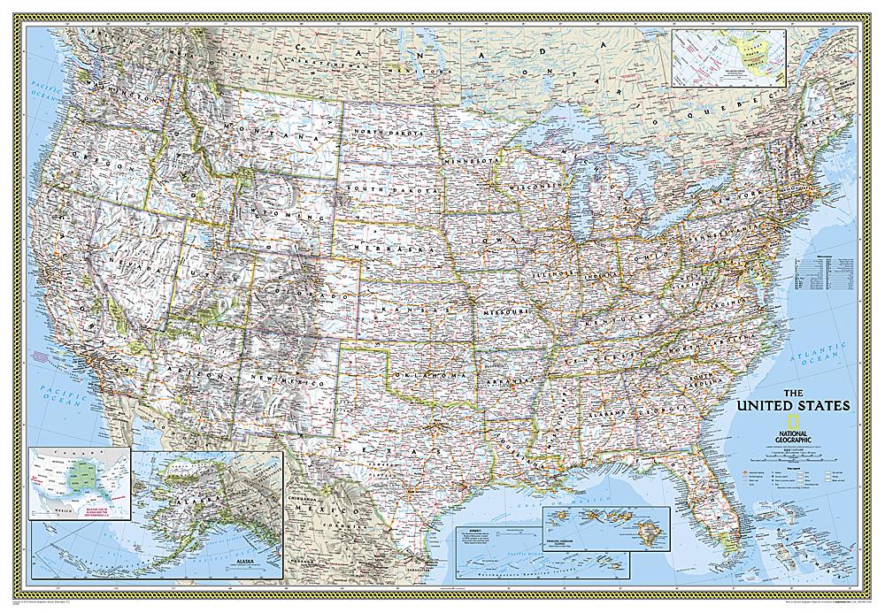
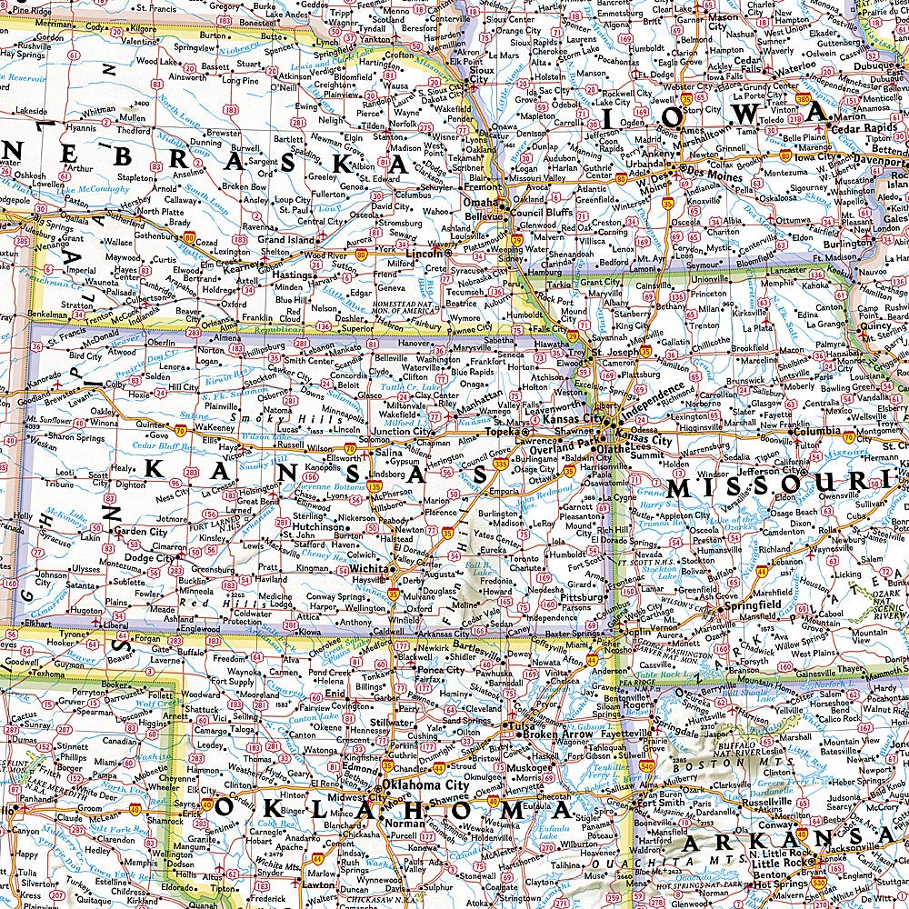
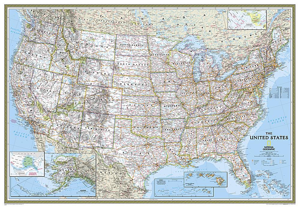
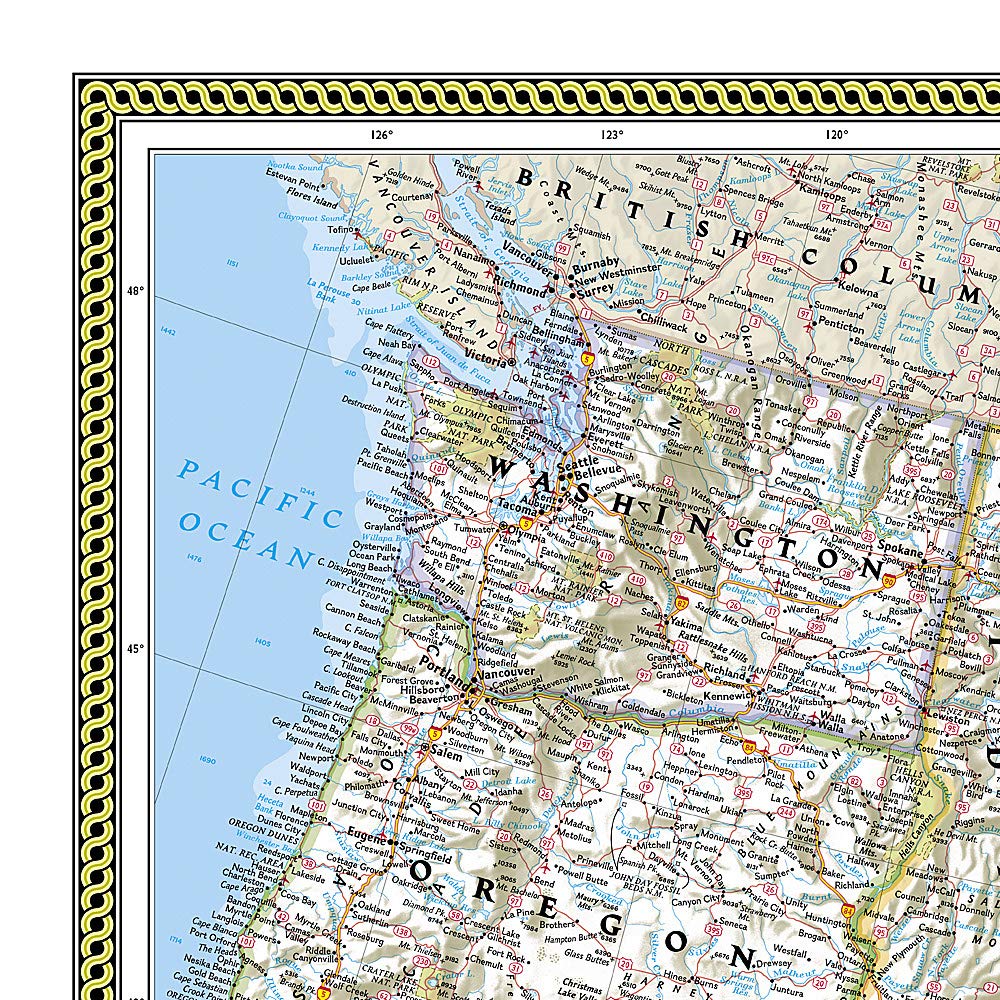
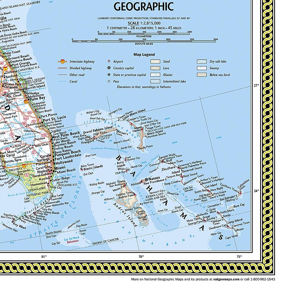
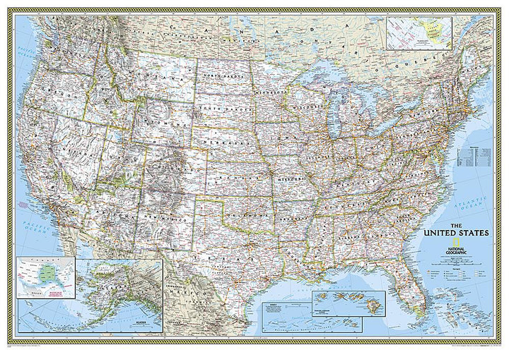
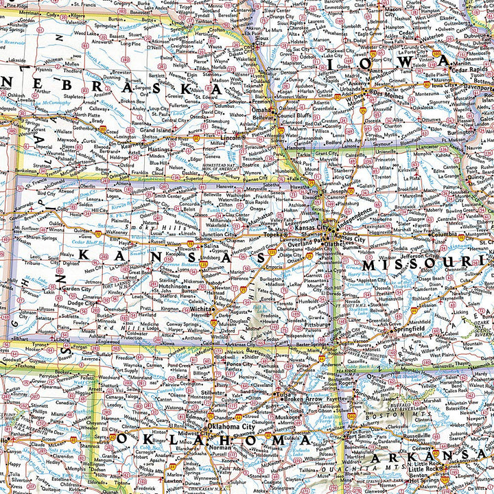
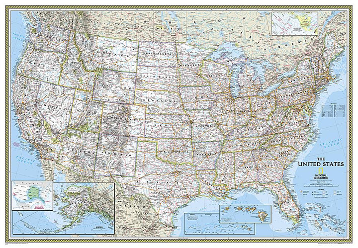
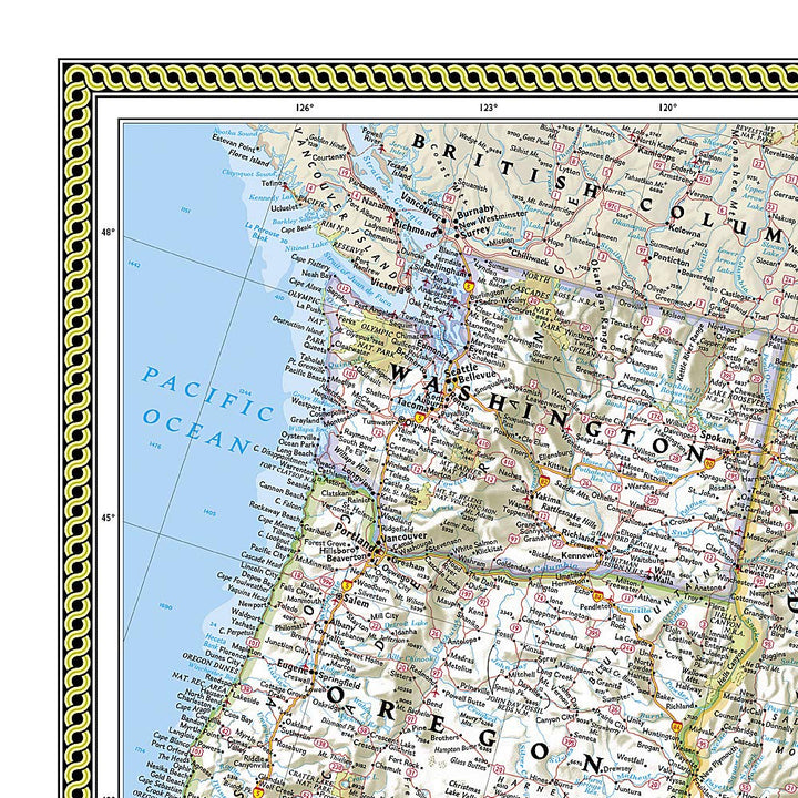
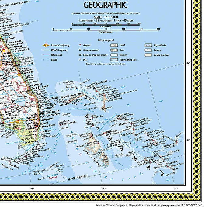
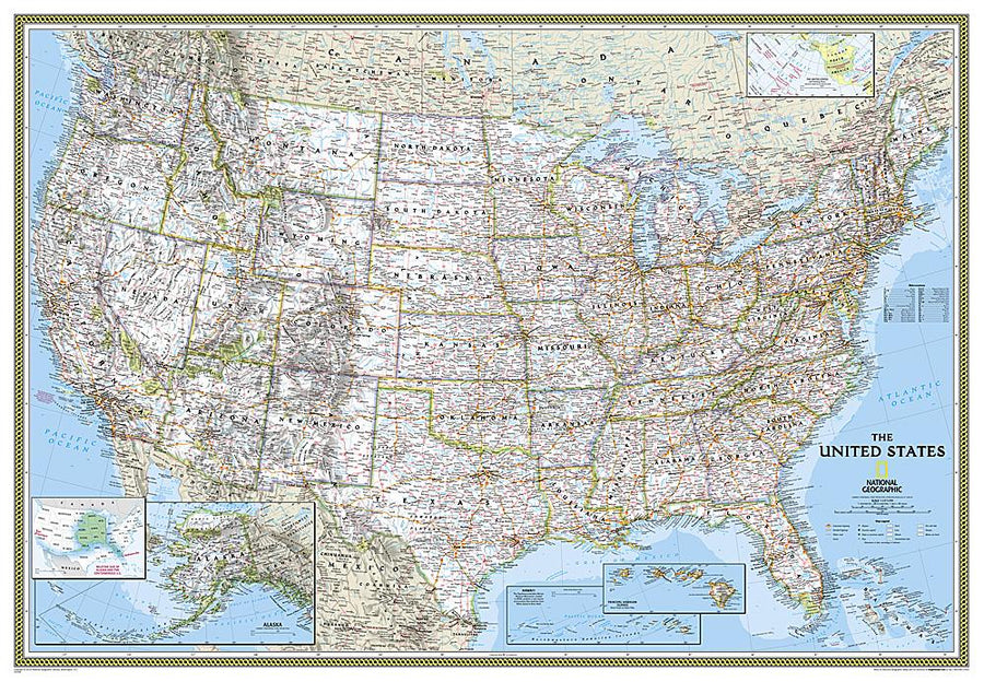
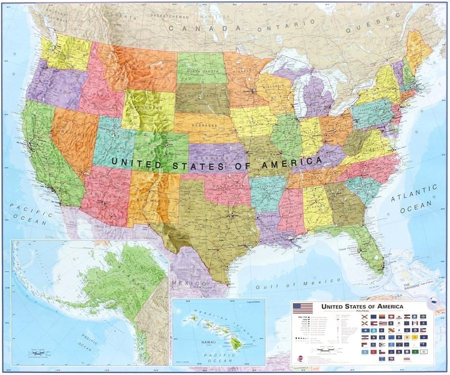
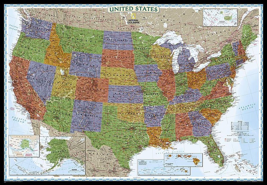
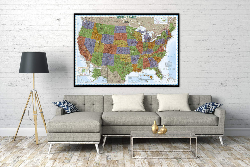
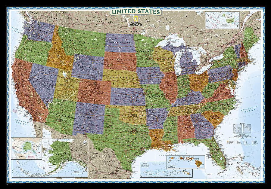
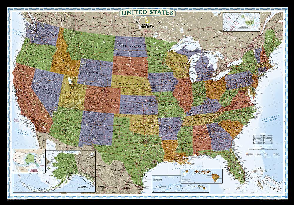
The United States map, classic style, uses a clear and easy - to - read color palette, with blue oceans and a shaded relief that has been on National Geographic's wall maps for more than 75 years. The 50 states are featured, including inserts for Alaska and the Hawaii Islands. A box demonstrating the relative size of Alaska is also presented. All major cities, transport routes, state borders, national parks, waterways and mountain ranges are clearly displayed and named. It's really a map that never stands out.
Delivered in a protective tube.
exists in paper or laminatedized version.
Note: The laminated map may apply for a few more days for its manufacture in our workshop. A slightly longer delivery time is therefore to be expected.
Date de publication : 2023
Impression: front
Dimensions déplié(e) : 176 x 122cm
Langue : English


