Wall map (in English) - Indian territories | National Geographic

Price
Regular price $33.00
Regular price Sale price $33.00
Save $-33
/
  • Shipping within 7 to 10 working days from our warehouse in France
  • Delivery costs calculated instantly in the basket
Tax included.

Often purchased together:

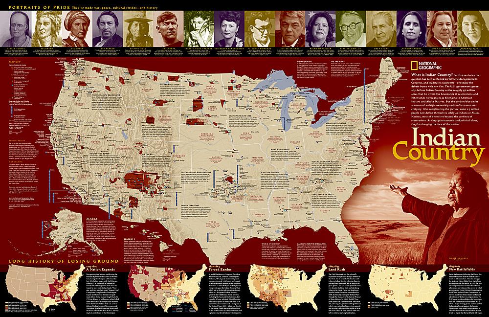
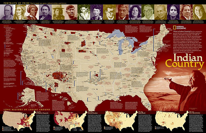
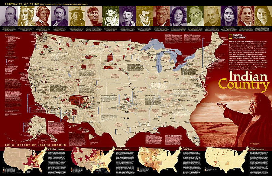
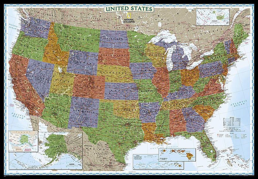
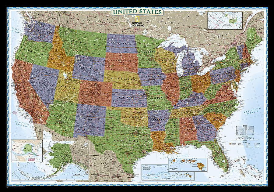
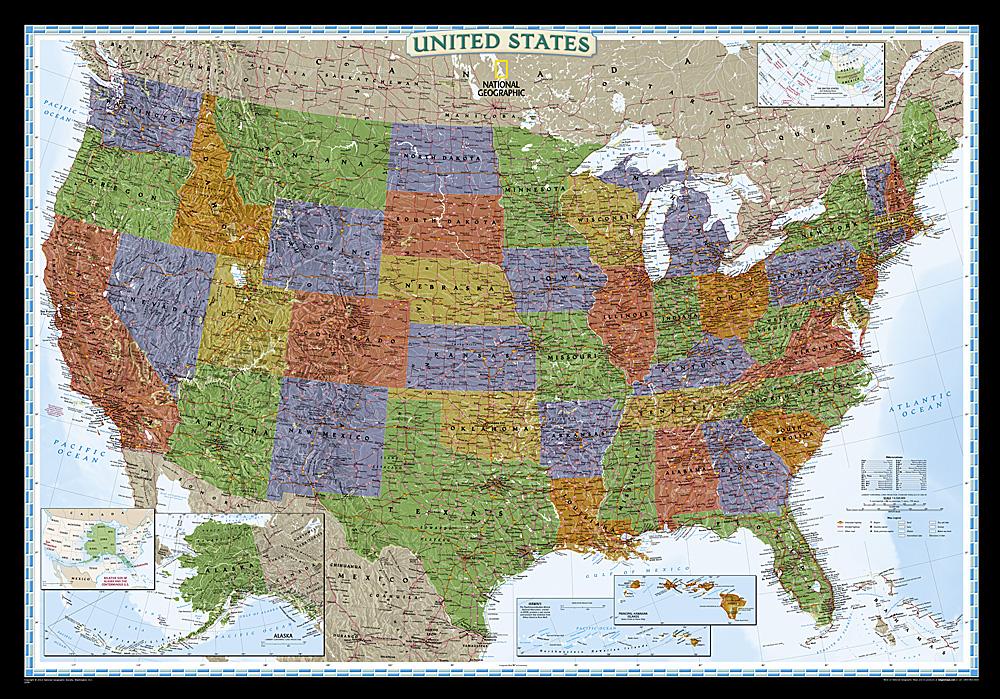
Wall map of the United States Indian territories published by National Geographic.

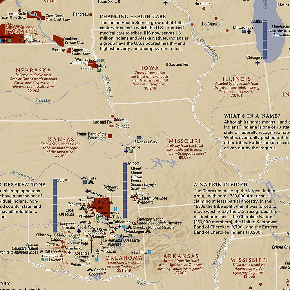
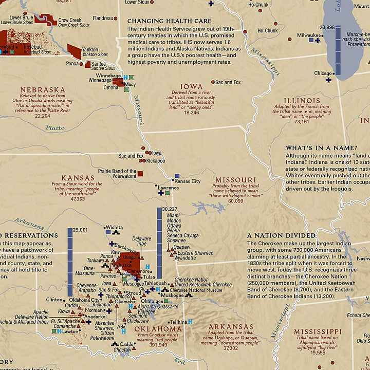
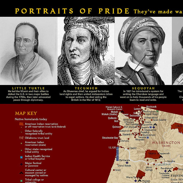
For five centuries, Indian territories have been challenged on the battlefield, legislated at Congress and studied in classrooms. The National Geographic map shows Indian reserves, tribal entities, trust lands and locations of the main festivals and powows.

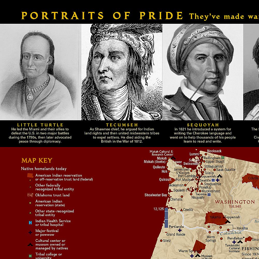
also includes photos and short sound biographies throughout history, and a series of four maps showing how Native American land lost their territory from 1775 to the present day. An excellent complement to our map of Indian cultures in North America.
for display. Delivered in a laminated protection tube.

Note: An additional time of several days (5 to 8 working days) may be required for shipping.


ISBN / EAN : 9780792297239
Date de publication : 2005
Impression: front
Dimensions déplié(e) : 90 x 58cm
Langue : English
Poids : 270 g

Customer Reviews

No reviews yet
0%
(0)
0%
(0)
0%
(0)
0%
(0)
0%
(0)
More from Wall Maps
New !
Plan mural en relief - Paris - 61 cm x 41 cm | 3D Map carte relief 3D Map
Relief wall map - Paris - 61 cm x 41 cm | 3D Map
3D Map
$43.00
Carte murale géante - Monde (politique) - 197 x 117 cm | Maps International carte murale grand tube Maps International papier
Carte murale géante - Monde (politique) - 197 x 117 cm | Maps International carte murale grand tube Maps International
Giant Wall map - World (Politics) - 197 x 117 cm | Maps International (French)
Maps International
from $49.00
Cadre pour carte en relief | 3D Map carte relief 3D Map blanc
Cadre pour carte en relief | 3D Map carte relief 3D Map noir
Frame for Relief Map (41 x 61 cm) | 3D MAP
3D Map
from $32.00