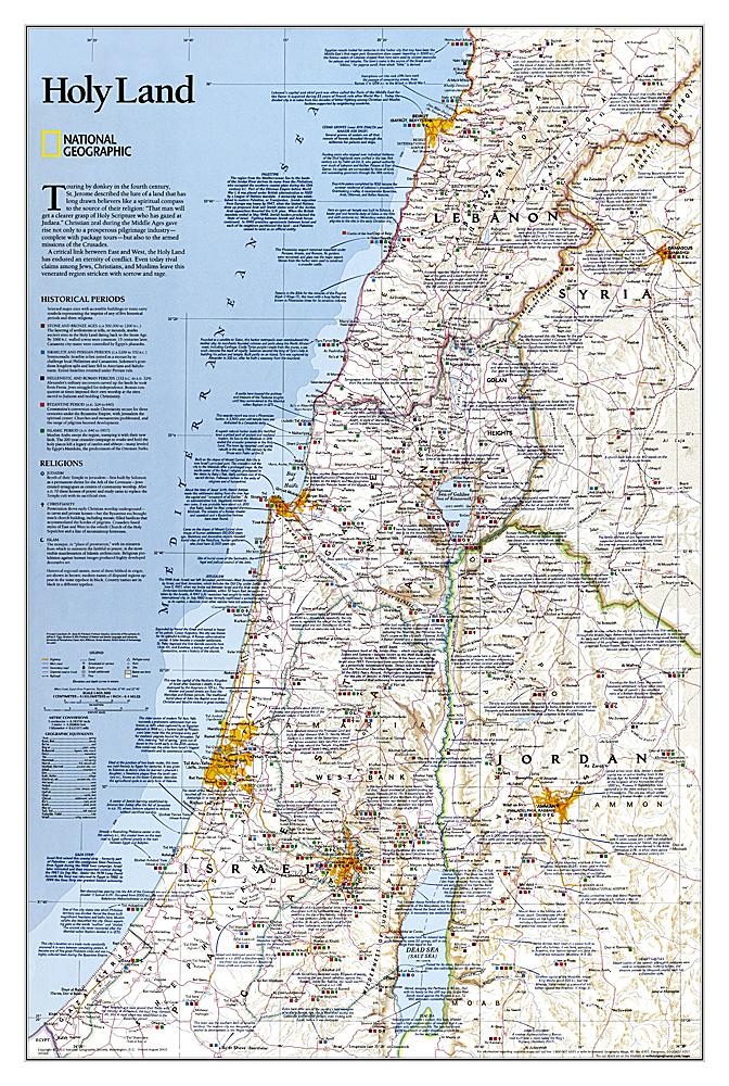
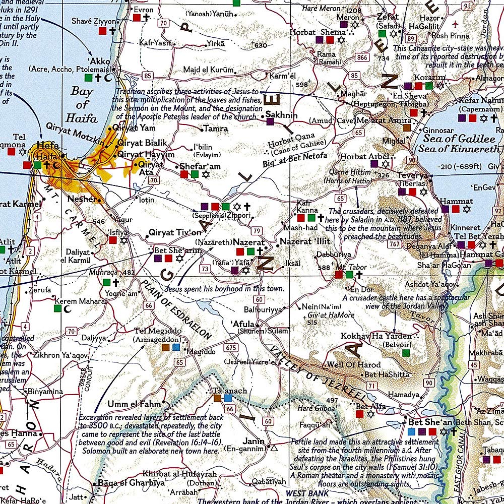
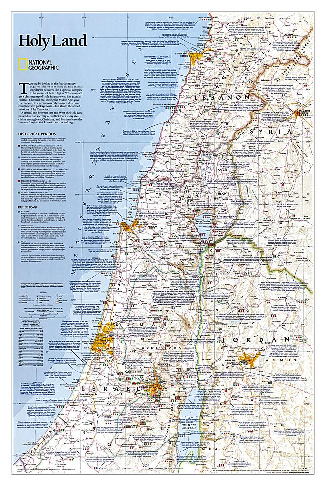
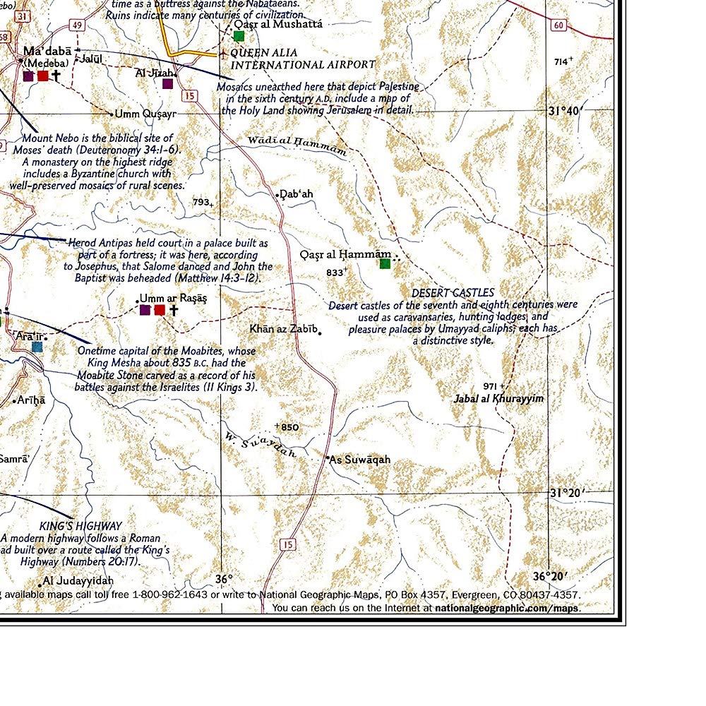
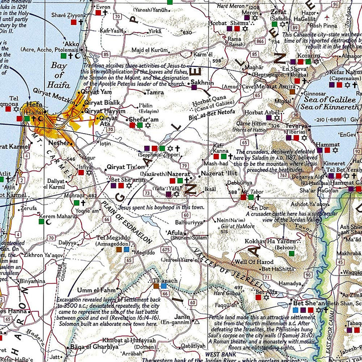
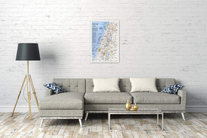
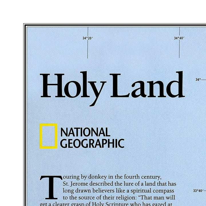
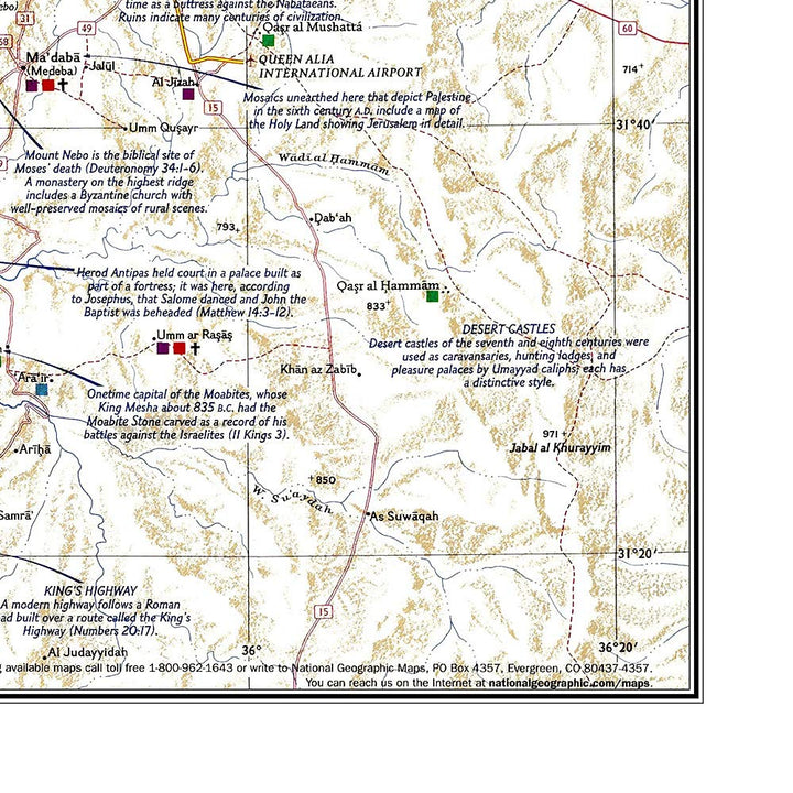
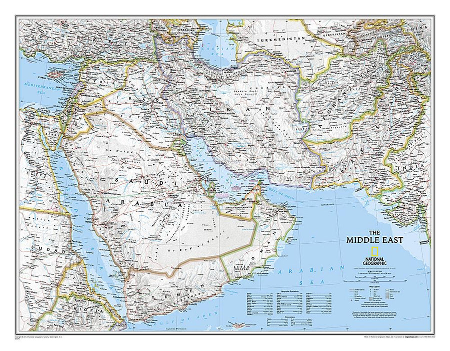
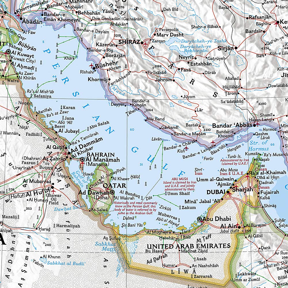
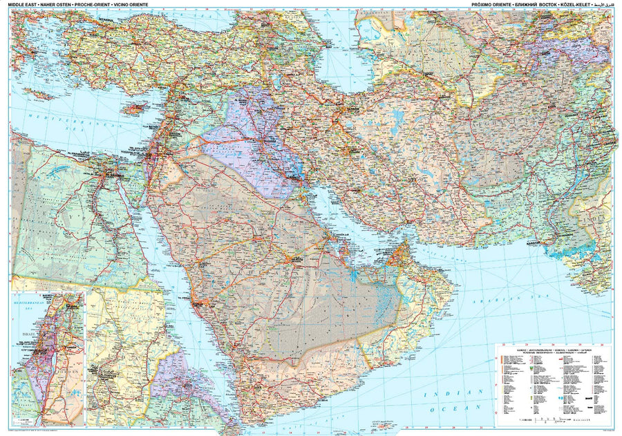
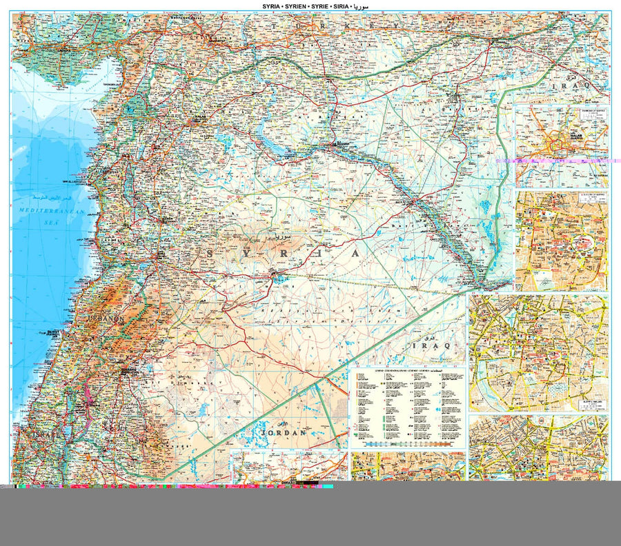
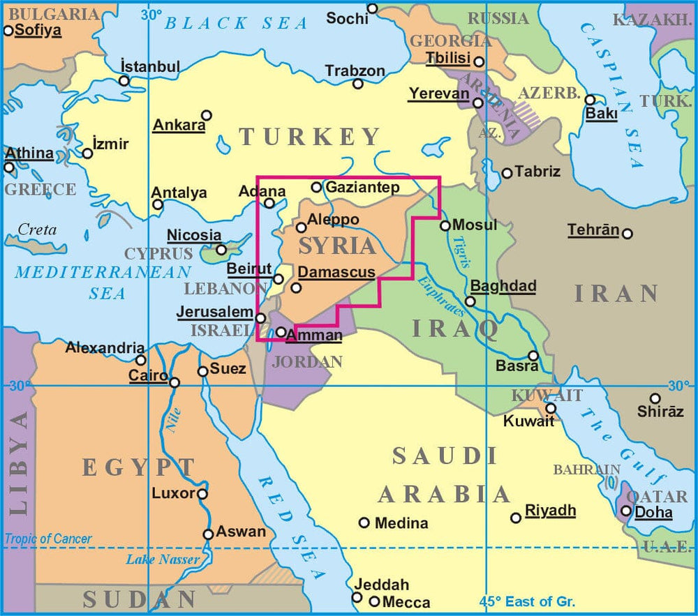
The mural of the Sainte Land of National Geographic offers a fascinating overview of beliefs, peoples and politics that have shaped this historic area. This detailed political map is covered with facts on important religious sites. The information on Judaism, Christianity and Islam, as well as the historical periods ranging from the age of the stone and the age of bronze to the Islamic period until 1917, make it a teaching tool and a work Attractive cartographic art. Cities, water scopes, geographic features, ruins, Israeli colonies, etc., as well as transport infrastructure such as highways, roads, railways, channels and airports are rated. Coverage includes Lebanon, Syria, Jordan and Israel.
for display. Delivered in a laminated protection tube.
Available in paper version or laminatedized.
Customer Reviews
Je m'attendais à plus grand, mais la qualité est excellente. Tout est très lisible. Attention, carte en anglais
Très bien. Correspond très bien à ce que je pensais. Merci


