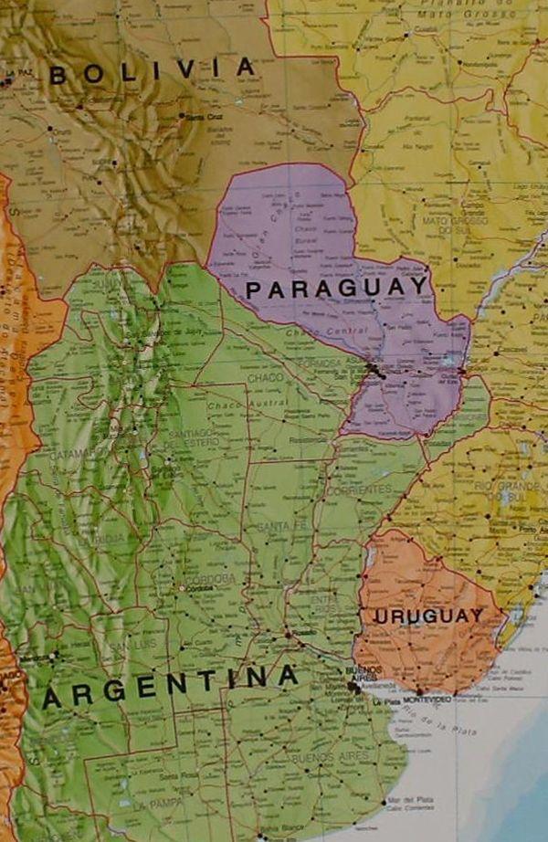
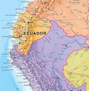
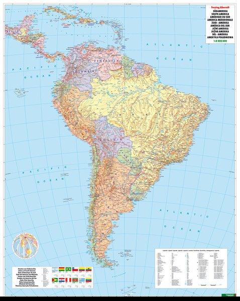
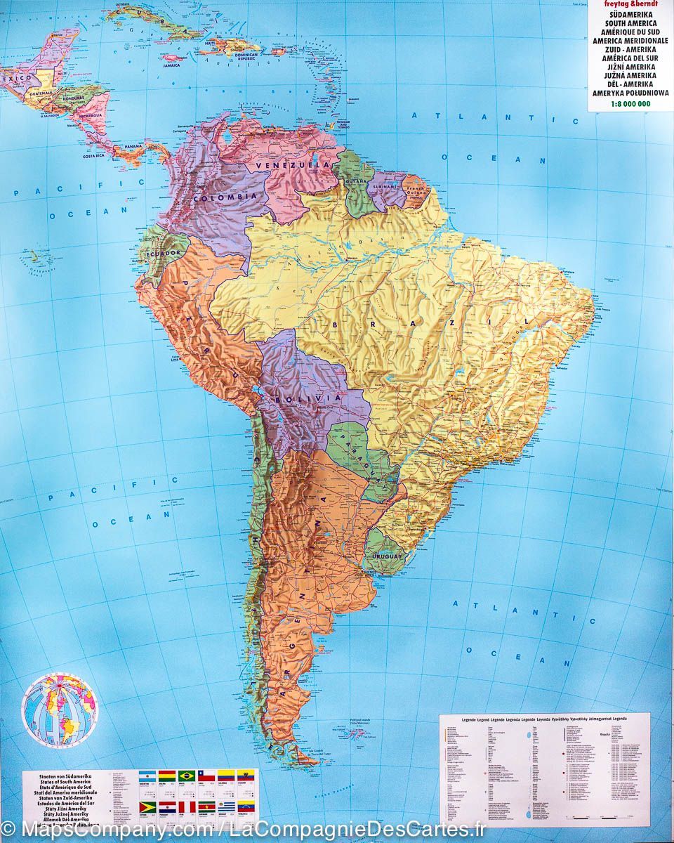
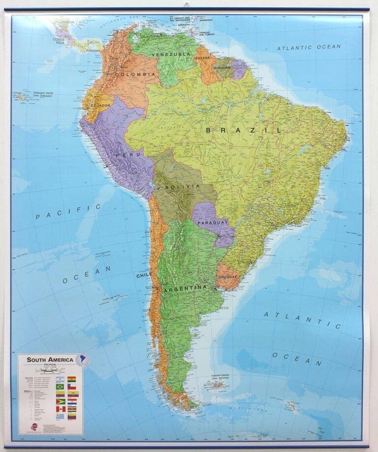
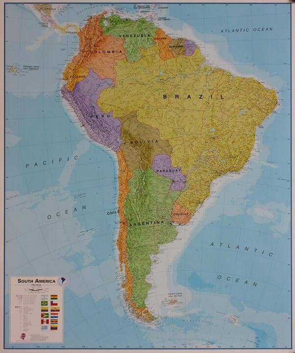
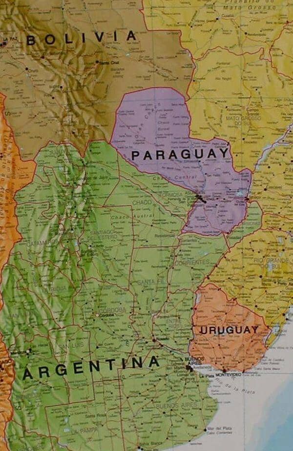
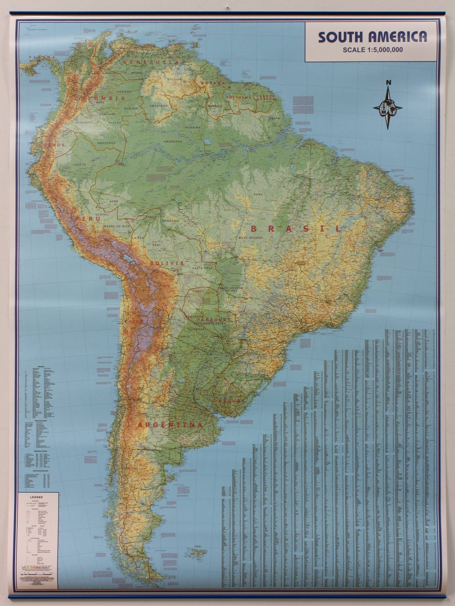
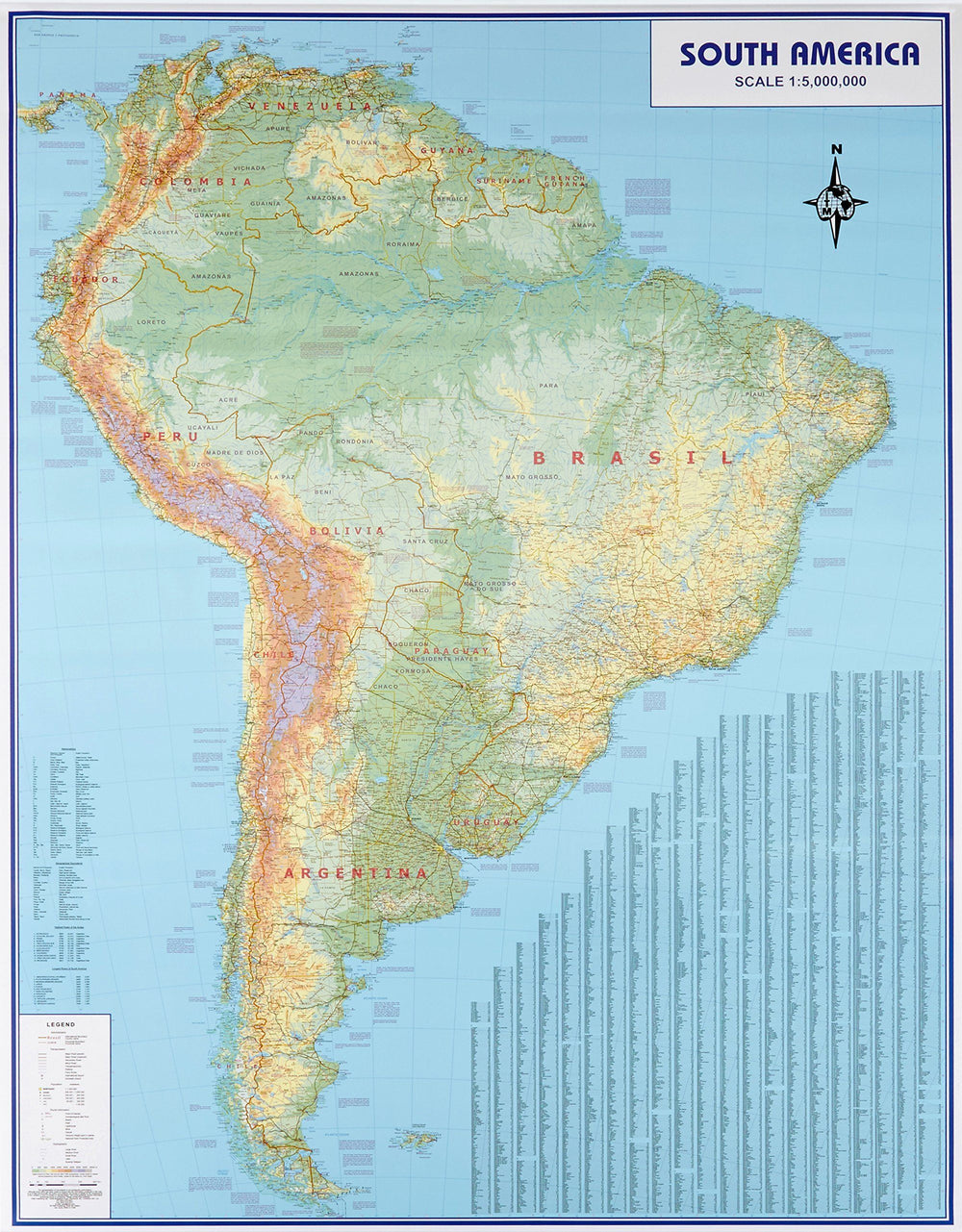
Laminated wall map of South America political (in English). This South America political wall map shows the whole continent from Venezuela and the Grenadine Islands down to Argentina and the most Southerly points of Chile and the Falkland Islands. This political wall map of South America features countries marked in different colours, with international borders clearly shown. The map's key shows a panel of flags from each of the countries displayed in this continent map. This political wall map of South America also contains population detail, capital cities and all the major towns and cities in this continent
Dimensions : 120 x 100 cm .
ISBN / EAN : 9781903030868
Date de publication : 2024
Echelle : 1/7,000,000 (1cm=70km)
Impression: front
Dimensions déplié(e) : 120x100cm
Langue : English
Poids :
358 g


