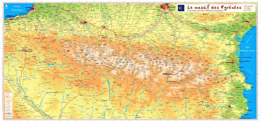
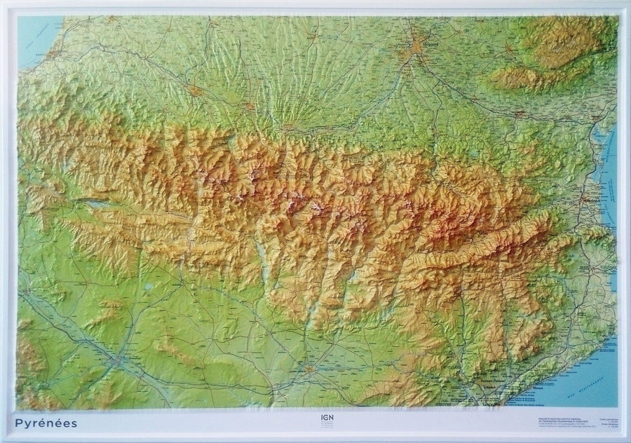
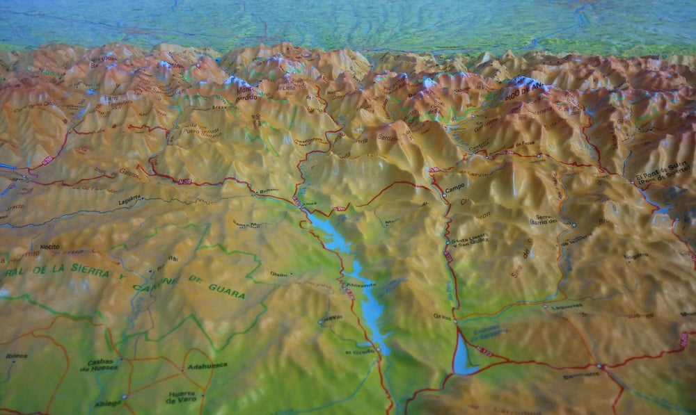
Carte en relief - Le massif des Pyrénées et les chemins vers Saint-Jacques de Compostelle - 62 X 32 cm carte relief Reliefs Editions

Relief map - The Pyrenees massif and the paths to Santiago de Compostela - 62 X 32 cm

Price
Regular price $38.00
Regular price Sale price $38.00
Save $-38
/
  • Product on order - Shipping within 5 to 8 working days from our warehouse in France
  • Delivery costs calculated instantly in the basket
Tax included.

Often purchased together:

Thematic hiking map developed in collaboration with the French Federation of Hiking (FFRP) and the French Agency for the Compostela Trails.

This relief map of the Pyrenees is crossed by the major pedestrian routes (GR®) to Santiago de Compostela: the coastal route, the Vézelay route, the Puy en Velay route, the Arles route, the Pyrenean foothills path, via Garona and the great crossing of the Pyrenees (GR10®)


ISBN / EAN : 9782361681333
Date de publication : 2023
Echelle : 1.9cm=10km
Impression: front
Dimensions déplié(e) : 62 X 32cm
Langue : French
Poids : 50 g

Customer Reviews

Be the first to write a review
0%
(0)
0%
(0)
0%
(0)
0%
(0)
0%
(0)
More from Wall Maps
New !
Plan mural en relief - Paris - 61 cm x 41 cm | 3D Map carte relief 3D Map
Relief wall map - Paris - 61 cm x 41 cm | 3D Map
3D Map
$43.00
Carte murale géante - Monde (politique) - 197 x 117 cm | Maps International carte murale grand tube Maps International papier
Carte murale géante - Monde (politique) - 197 x 117 cm | Maps International carte murale grand tube Maps International
Giant Wall map - World (Politics) - 197 x 117 cm | Maps International (French)
Maps International
from $49.00
Cadre pour carte en relief | 3D Map carte relief 3D Map blanc
Cadre pour carte en relief | 3D Map carte relief 3D Map noir
Frame for Relief Map (41 x 61 cm) | 3D MAP
3D Map
from $32.00