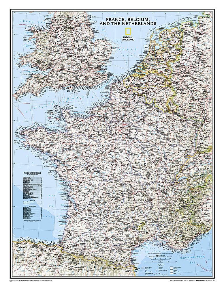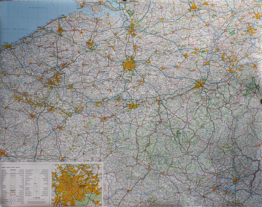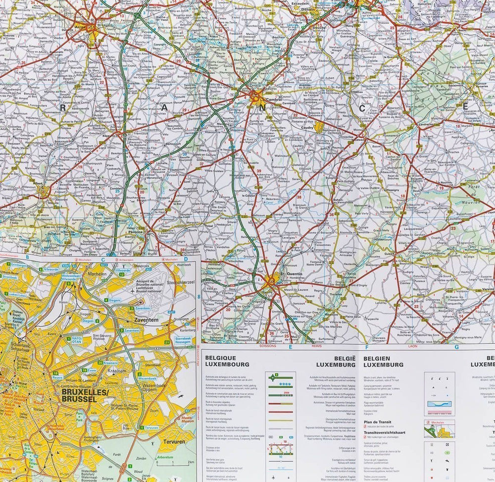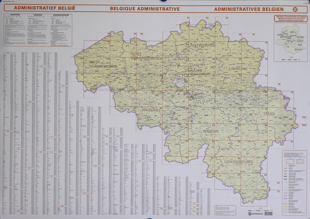
Carte murale - Belgique administrative (10 provinces) | NGI carte murale petit tube IGN Belgique

Wall map - Administrative Belgium (10 Provinces) - 125 x 87 cm | IGN Belgium (French)

Finishing
Price
Regular price $61.00
Regular price Sale price $61.00
Save $-61
/
  • Shipping within 7 to 10 working days from our warehouse in France
  • Delivery costs calculated instantly in the basket
Tax included.

Often purchased together:

Administrative map of Belgium:
- In different colors: Flemish Region, Walloon Region, Brussels Region
- Capital
- Protected linguistic minority entity
- Limits of:
Communes
Provinces
Administrative districts
- Reference grid corresponding to the cutting of topographic maps.


Date de publication : 2019
Echelle : 1/300,000 (1cm=3km)
Dimensions déplié(e) : 125 x 87cm
Langue : French, Flemish

Customer Reviews

No reviews yet
0%
(0)
0%
(0)
0%
(0)
0%
(0)
0%
(0)
More from Wall Maps
New !
Plan mural en relief - Paris - 61 cm x 41 cm | 3D Map carte relief 3D Map
Relief wall map - Paris - 61 cm x 41 cm | 3D Map
3D Map
$43.00
Carte murale géante - Monde (politique) - 197 x 117 cm | Maps International carte murale grand tube Maps International papier
Carte murale géante - Monde (politique) - 197 x 117 cm | Maps International carte murale grand tube Maps International
Giant Wall map - World (Politics) - 197 x 117 cm | Maps International (French)
Maps International
from $49.00
Cadre pour carte en relief | 3D Map carte relief 3D Map blanc
Cadre pour carte en relief | 3D Map carte relief 3D Map noir
Frame for Relief Map (41 x 61 cm) | 3D MAP
3D Map
from $32.00