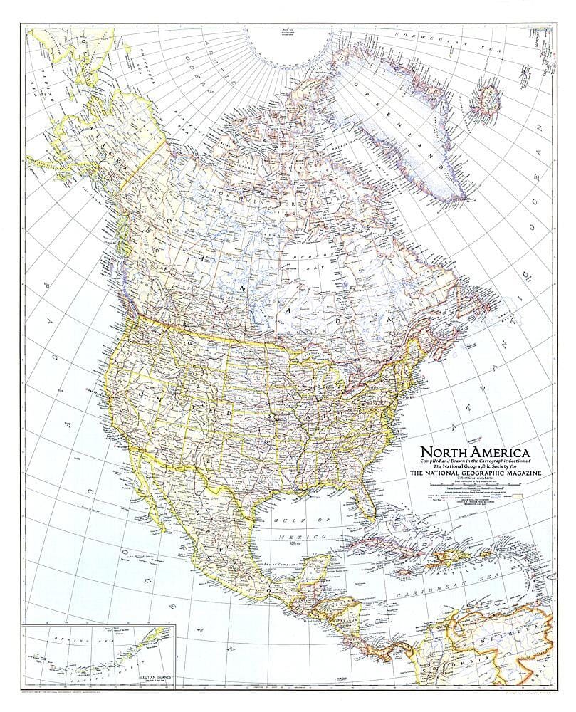
1924 North America Map Wall Map

1924 North America Map

Price
Regular price $45.00
Regular price Sale price $45.00
Save $-45
/
  • Shipping within 48 business hours from our warehouse in the USA. For this product, customs fees may be requested by the carrier upon delivery.
  • Delivery costs calculated instantly in the basket
  • Free returns (*)
  • Real-time inventory
  • In stock, ready to ship
  • Backordered, shipping soon
Tax included.

Often purchased together:

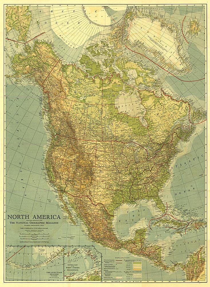
Published in May 1924, this beautiful map of North America is colored to indicate elevation and ocean depth, and features boldly drawn state, provincial, and international boundaries. Inset maps of the Aleutian Islands and the eastern part of the West Indies complete this attractive presentation of the region.


ISBN/EAN : 2321442M
Publication date: 1924
Unfolded dimensions: 27.75in / 38in
Language(s): English
Weight: 200 g

Customer Reviews

Be the first to write a review
0%
(0)
0%
(0)
0%
(0)
0%
(0)
0%
(0)
More from Wall Maps
New !
Plan mural en relief - Paris - 61 cm x 41 cm | 3D Map carte relief 3D Map
Relief wall map - Paris - 61 cm x 41 cm | 3D Map
3D Map
$43.00
Carte murale géante - Monde (politique) - 197 x 117 cm | Maps International carte murale grand tube Maps International papier
Carte murale géante - Monde (politique) - 197 x 117 cm | Maps International carte murale grand tube Maps International
Giant Wall map - World (Politics) - 197 x 117 cm | Maps International (French)
Maps International
from $49.00
Cadre pour carte en relief | 3D Map carte relief 3D Map blanc
Cadre pour carte en relief | 3D Map carte relief 3D Map noir
Frame for Relief Map (41 x 61 cm) | 3D MAP
3D Map
from $31.00