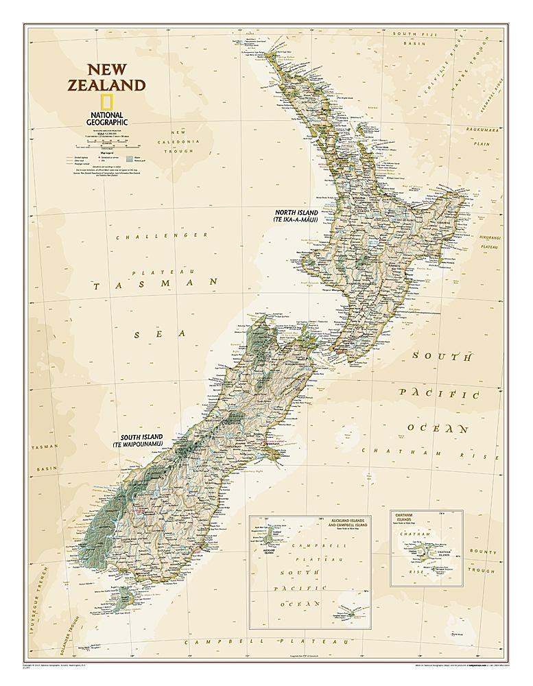
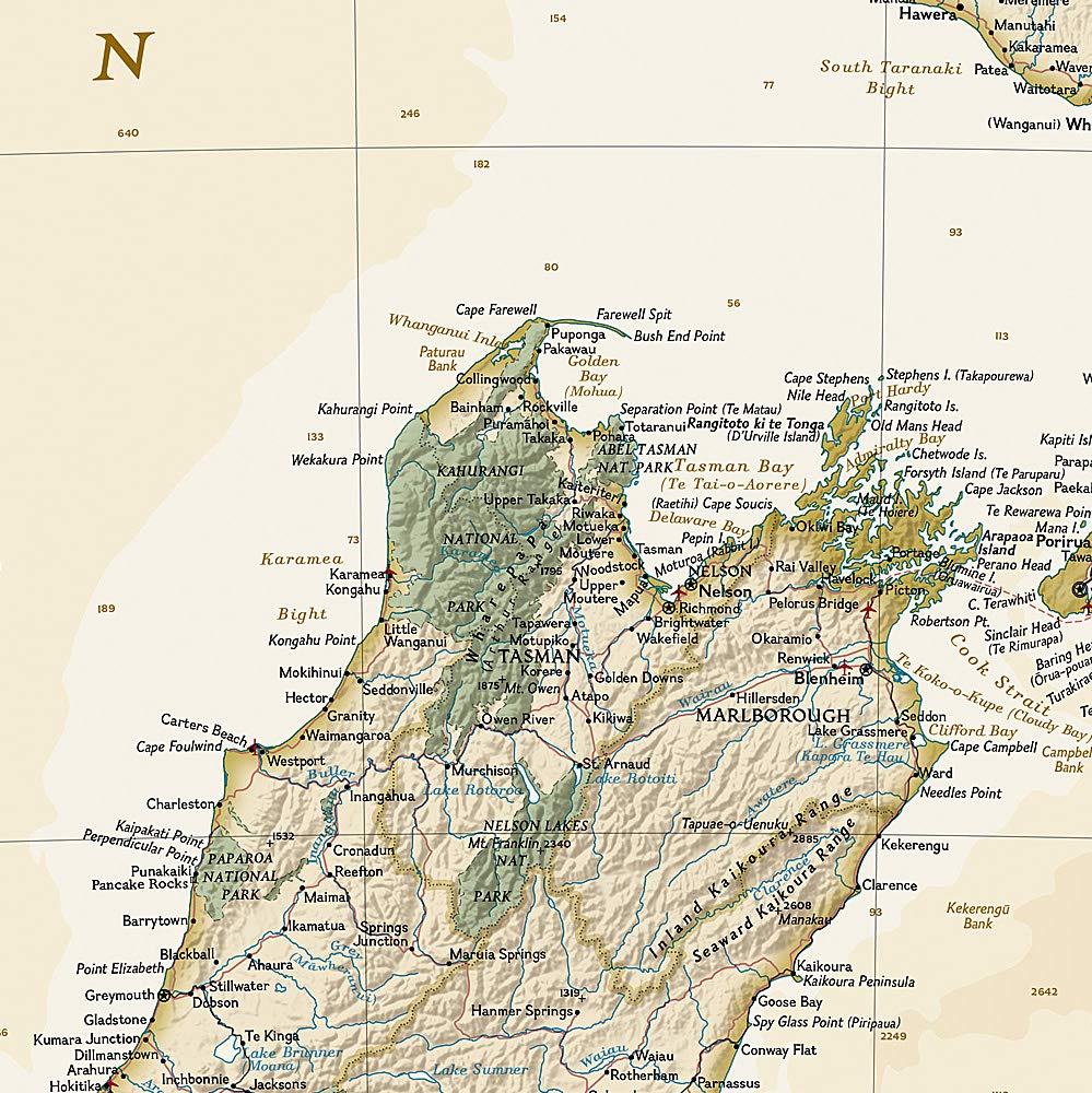
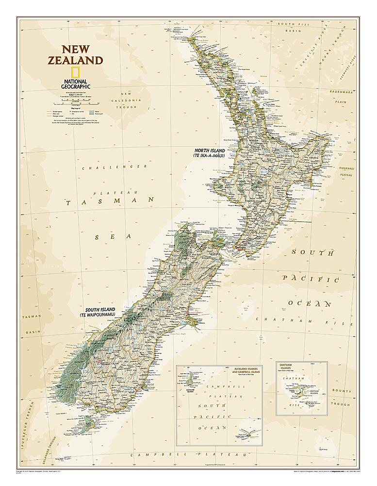
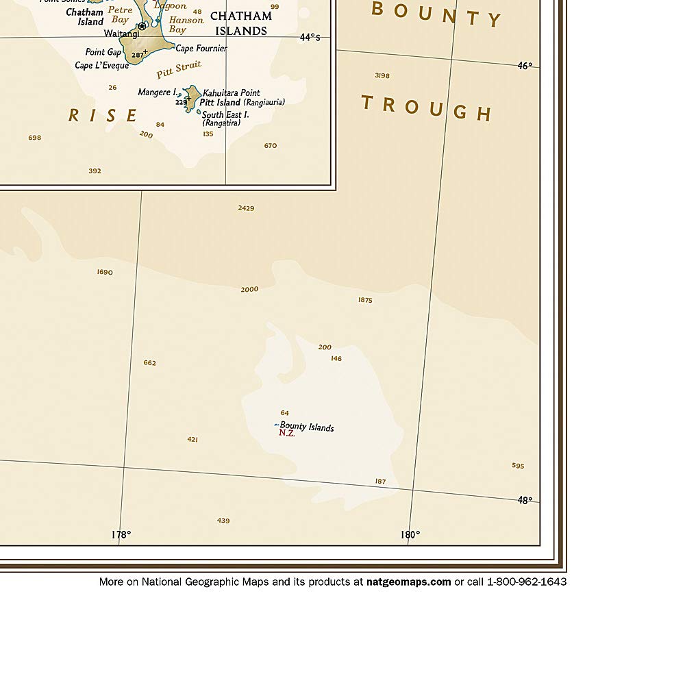
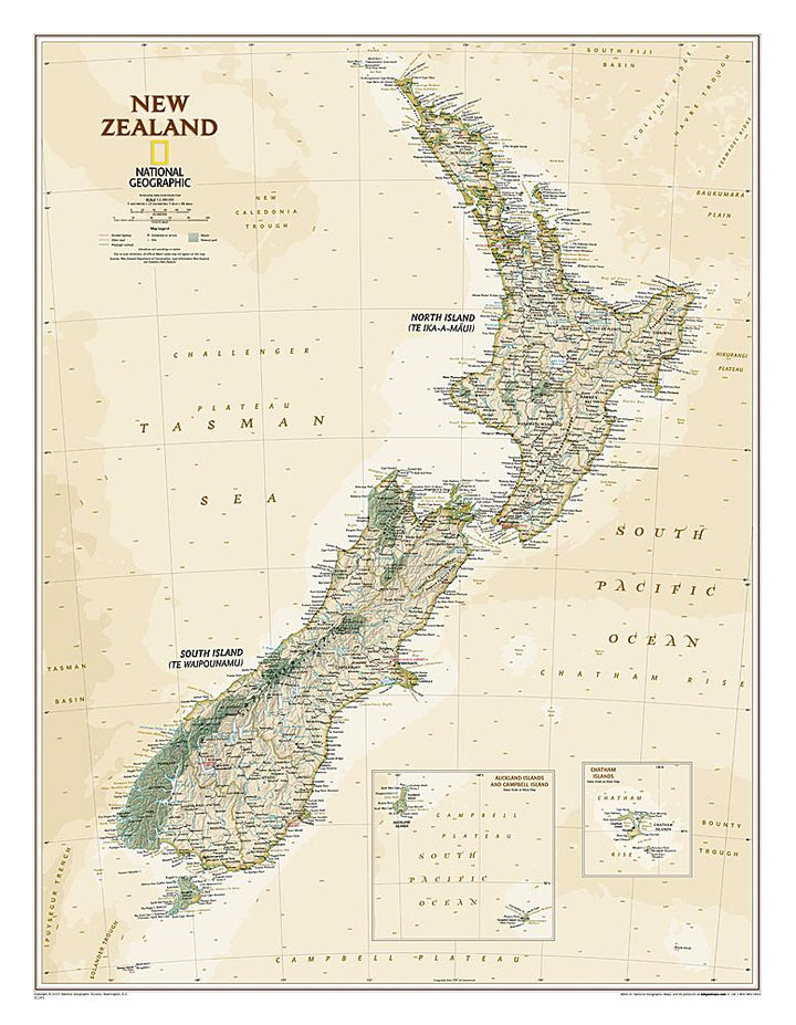
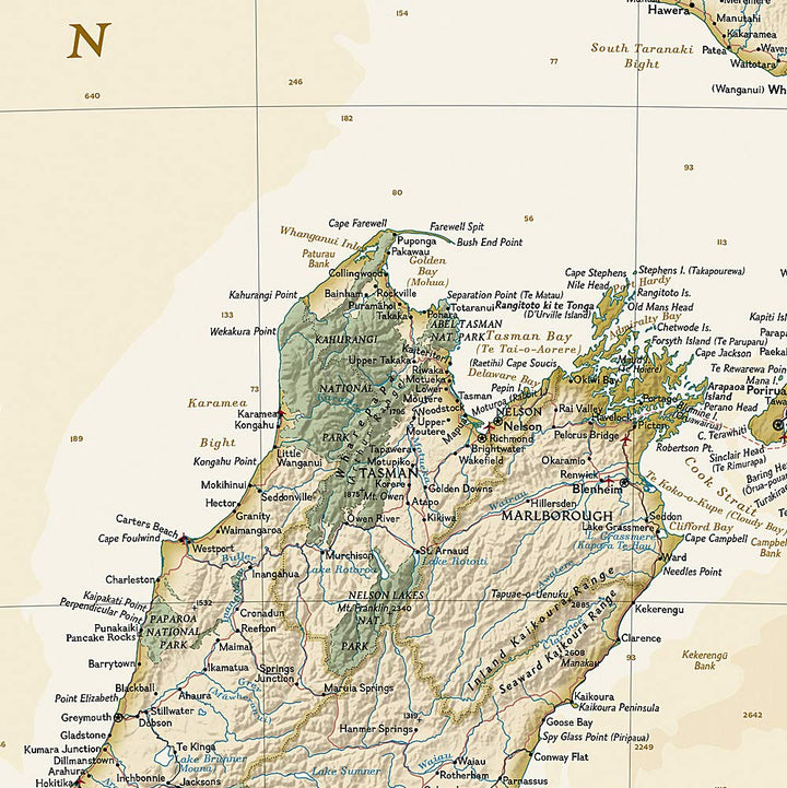
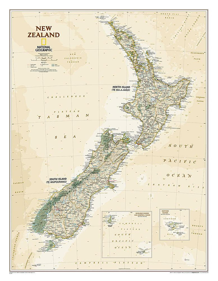
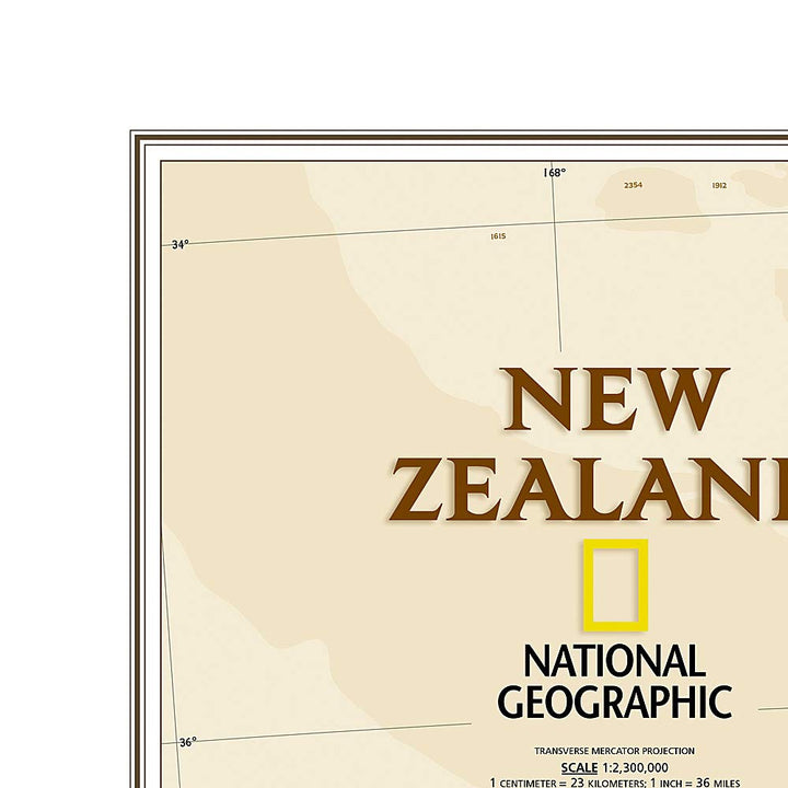
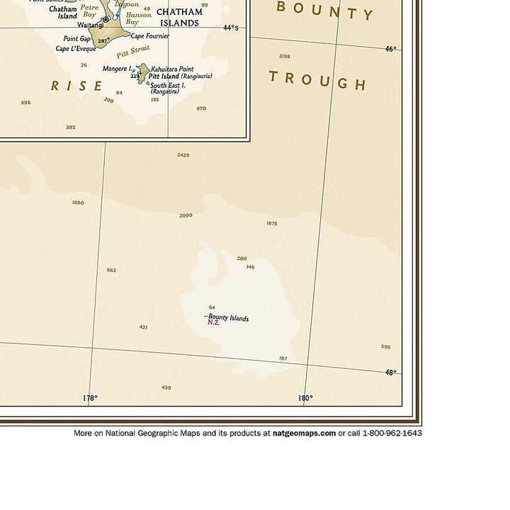
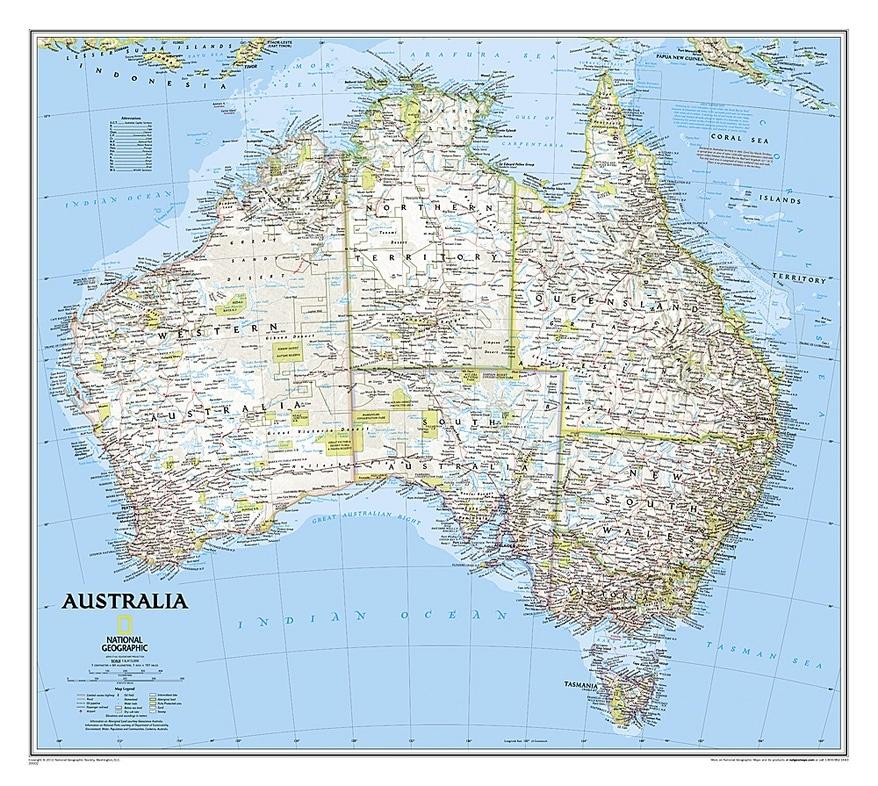
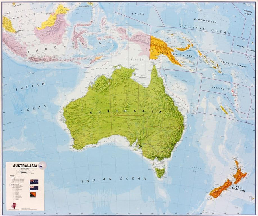
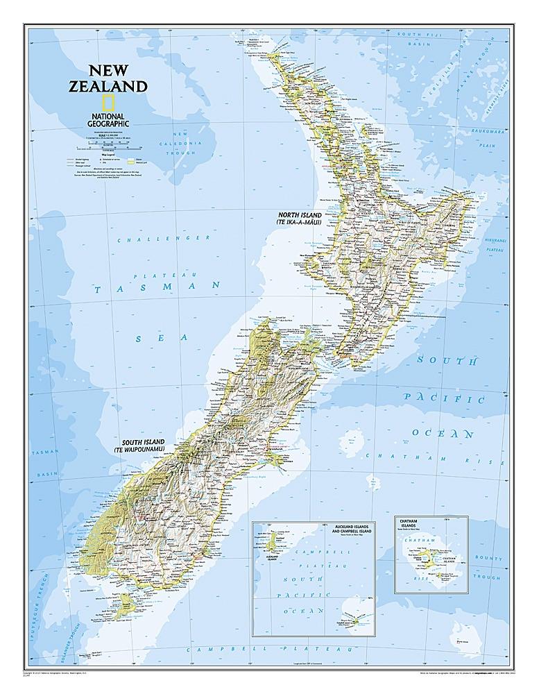
This new Zealand map of National Geographic uses an antique style color palette and breathtaking shaded relief. The map shows this island nation in a very detailed way, from the subtropical north island to the valleys carved by the Foodland Glacier on the South Island. North Island is mostly known for its large volcanic lakes and cities of Auckland and Wellington. The South Island is famous for the Southern Alps along the spine of the island. The culmination of the country is Aoraki (Mont Cook) and is located in the Southern Alps.
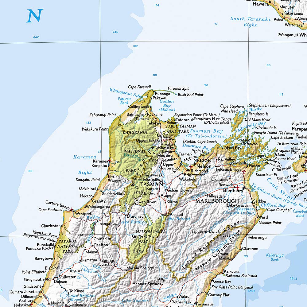
The first settlers of New Zealand were the Polynesia Maoris, the names on the map reflect this story with English variants and Maori. The map also includes a transport network comprising highways, roads, passengers' trails and major airports. All national parks are also displayed.
Supplied in a laminated protection tube.
Available in paper version or laminatedized.
Note: For the laminated map, an additional time of a few days may be necessary for laminating.
Date de publication : 2015
Impression: front
Dimensions déplié(e) : 60 x 77cm
Langue : English


