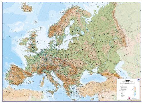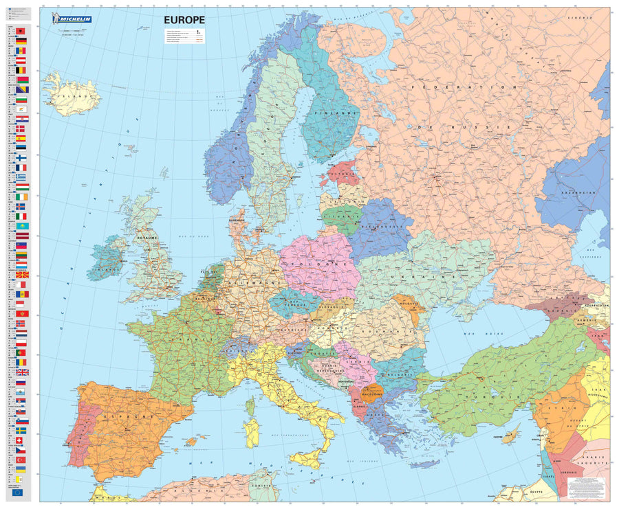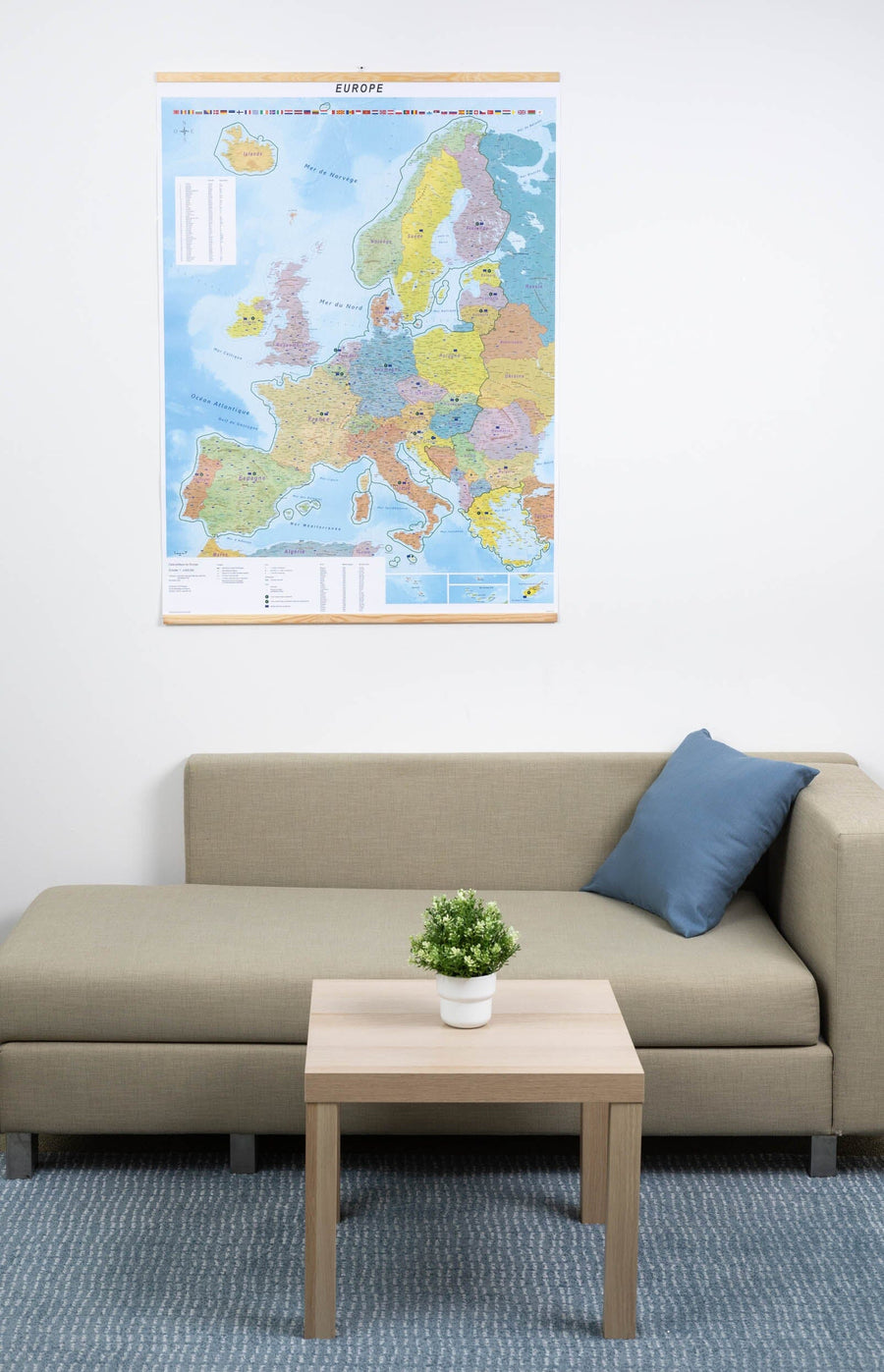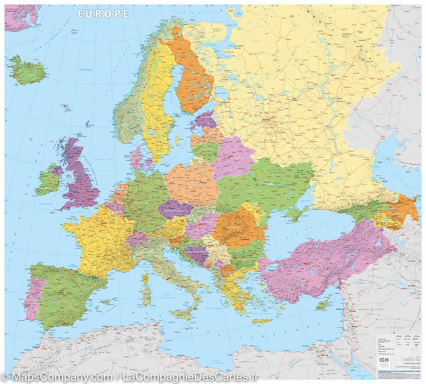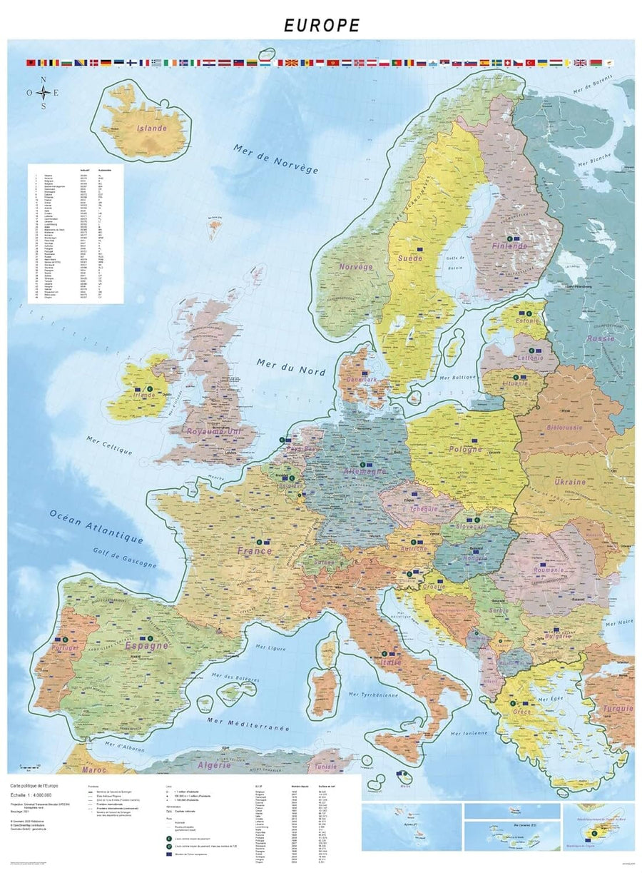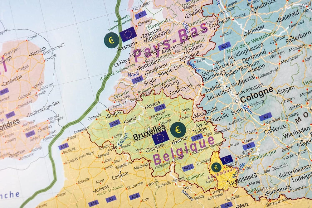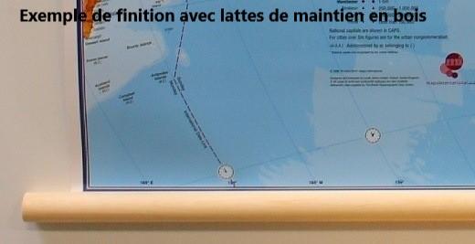

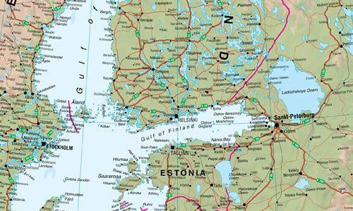
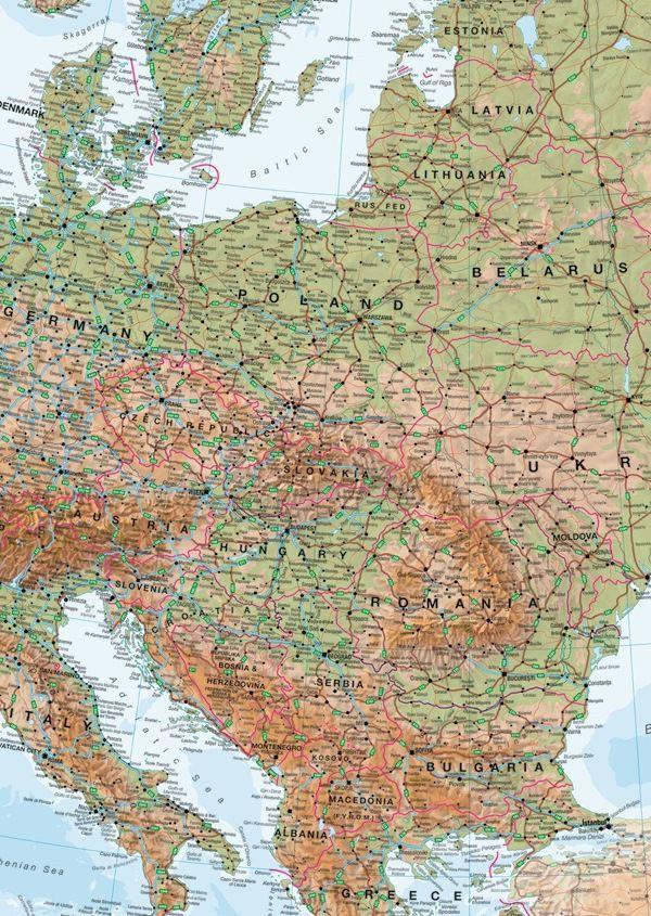


Laminated wall map with wooden slats - Physical Europe (in English) - 136 x 98 cm | Maps International
Regular price
$196.00
Regular price
Sale price
$196.00
Save $-196
/
- Custom-made product - Shipping to mainland France, Belgium, Germany, Luxembourg, and the Netherlands within 7 to 10 working days from our workshop. Other regions: contact us
- Delivery costs calculated instantly in the basket
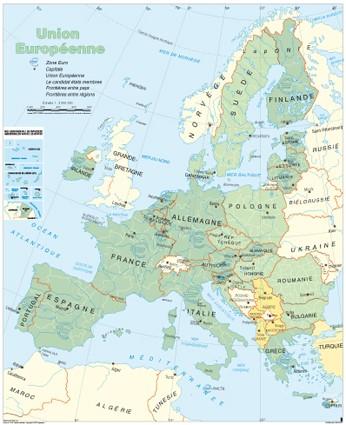
Related geographic locations and collections: Europe, Europe Wall Maps, General wall maps of Europe, Wall maps with wooden or metal fixing system