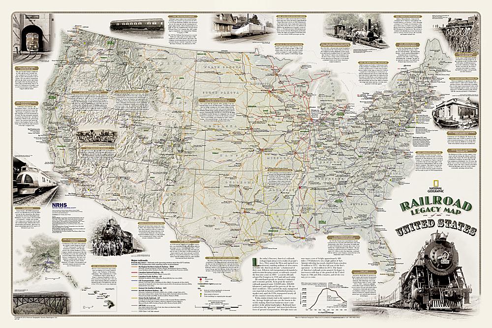
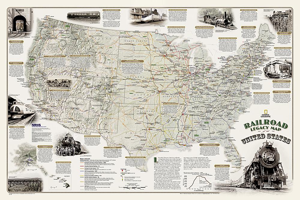
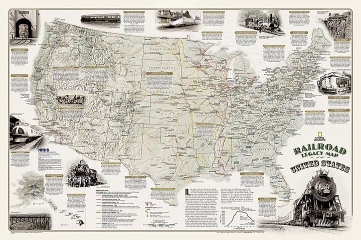
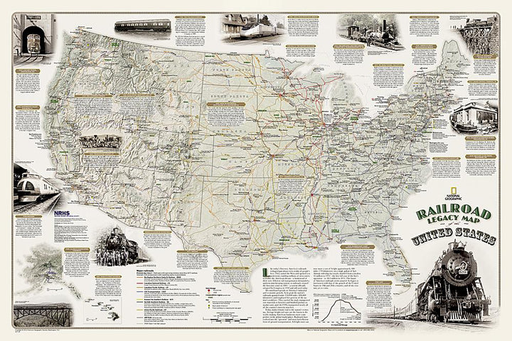
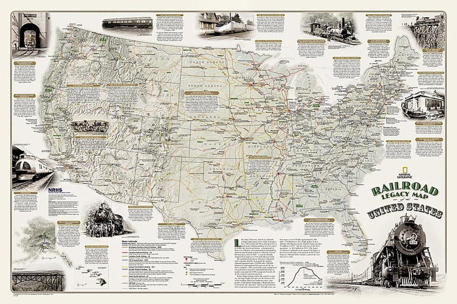
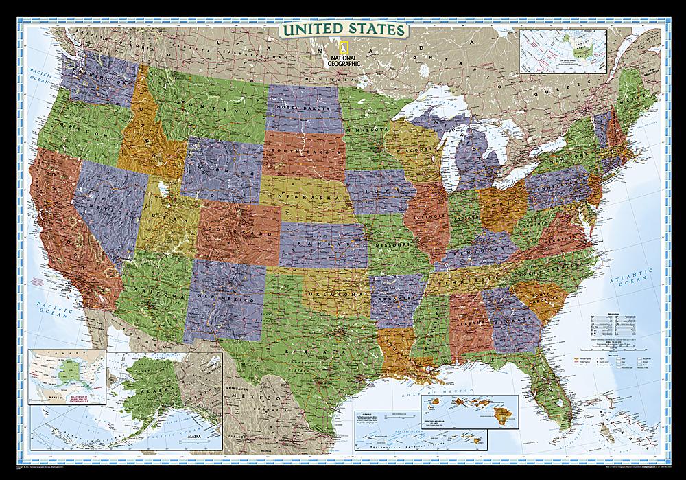
The US Railroad map of National Geographic illustrates the many ways that railways have had an impact on the nation and shaped the daily lives of people. From the creation of time zones still used today to contributions to the country's economic and industrial development, the American rail inheritance is closely linked to the growth of the United States in the nineteenth and twentieth centuries and the coming century.
The map shows the class 1 railways (main), the amtrak passenger lines, as well as those of more than one hundred class 1 railways that worked in 1920.
The map is packaged in a tube rigid laminated.
Available in paper version or laminatedized.
Note: For the laminated map, an additional time of a few days may be necessary for laminating.
Date de publication : 2013
Impression: front
Dimensions déplié(e) : 91 x 61cm
Langue : English


