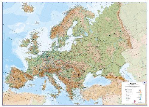
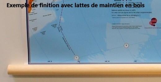
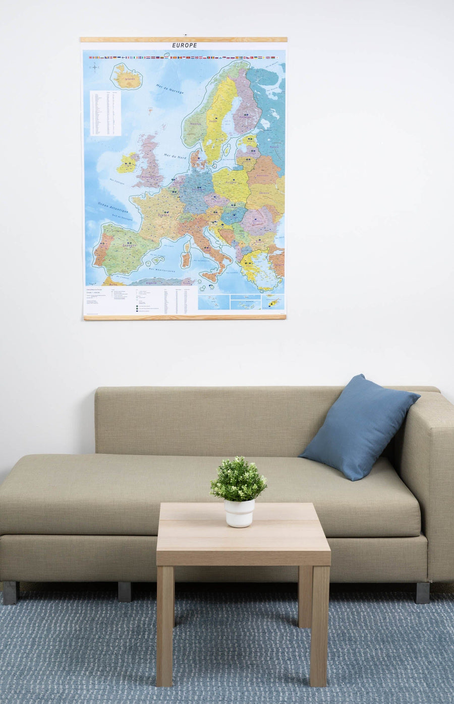
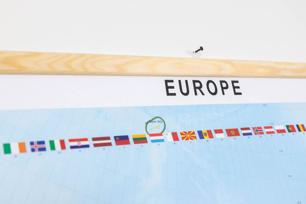
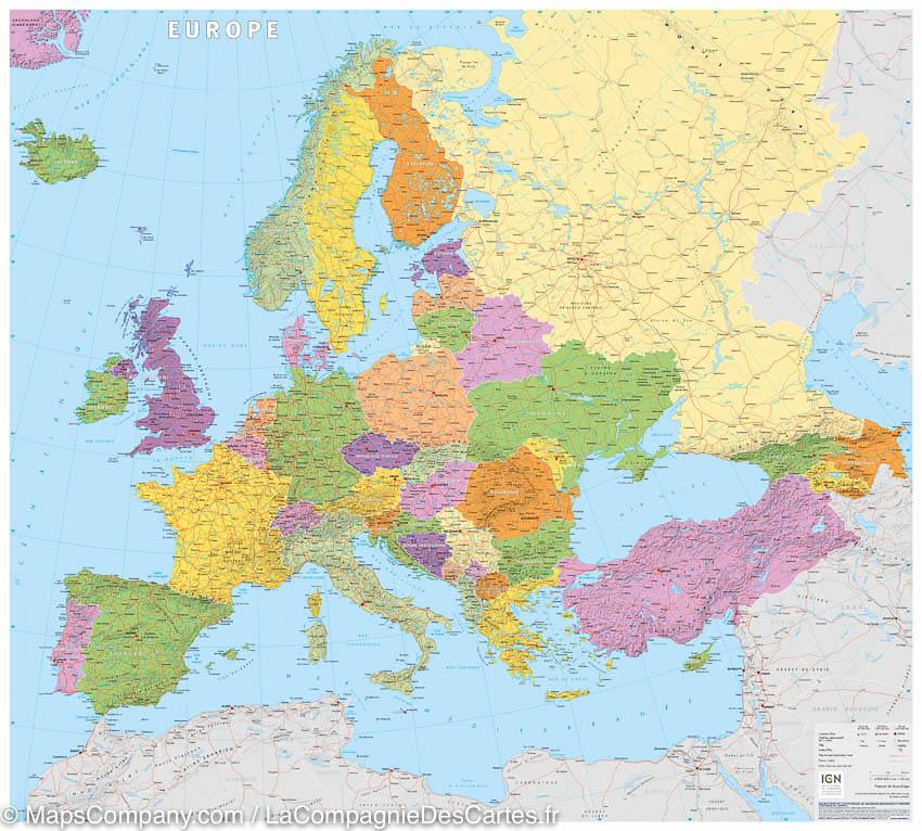
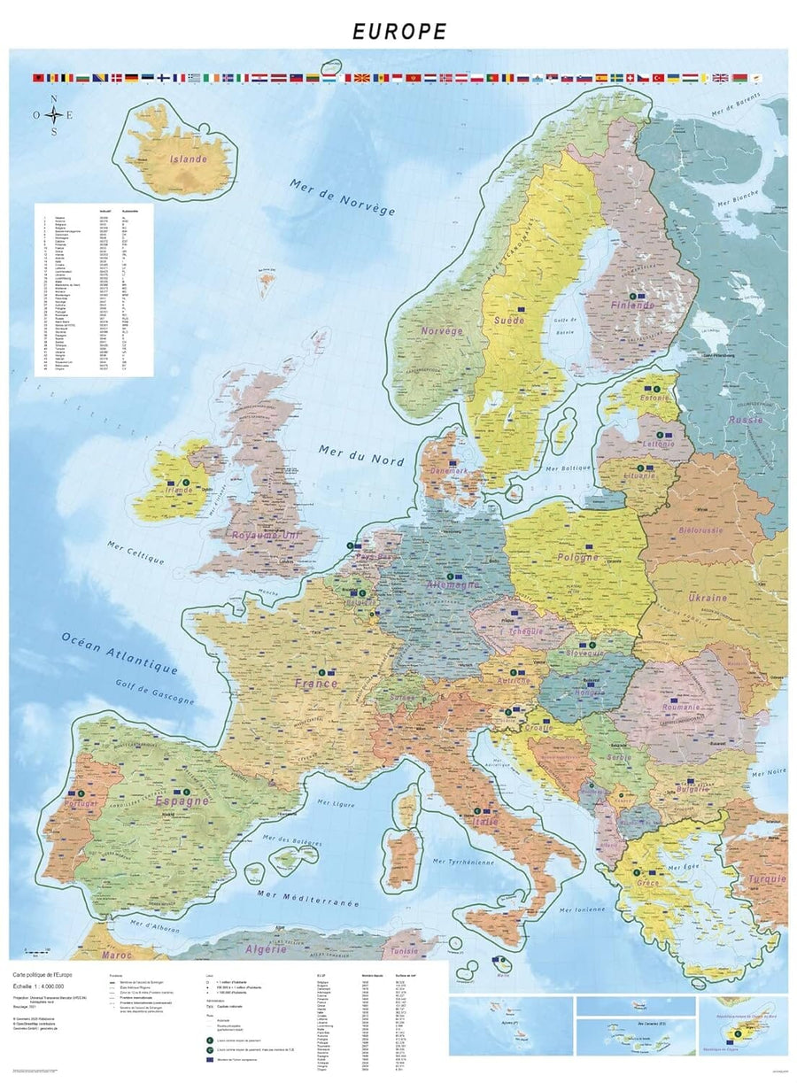
Laminated wall map of physical Europe (in English). this map is equipped with of wooden bars to facilitate wall attachment (of a class for example).
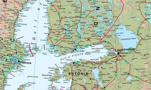
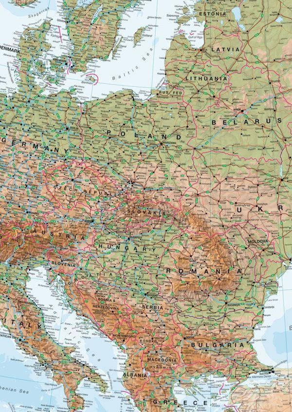
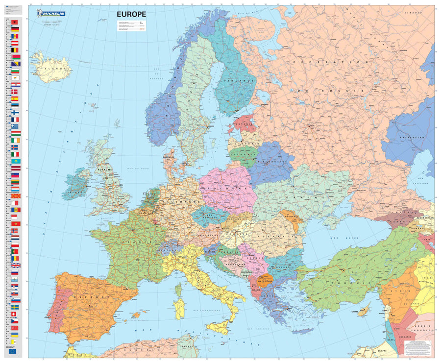
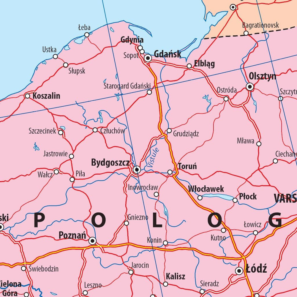
The Map Europe in the scale of 1: 4,300 00 is beautifully colored and the relief physical is combined with the road network.
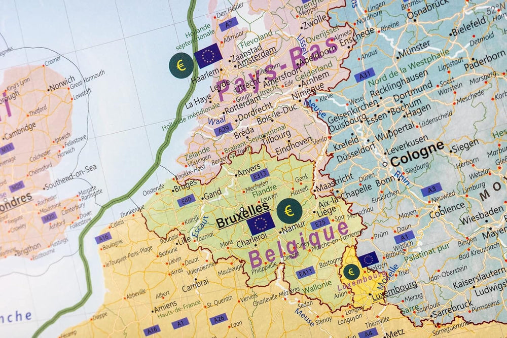
The names of the countries and the borders are clearly displayed. Symbols show capitals and big cities. The highways are clearly displayed with their numbering. The large rivers are also represented on this map.
The dimensions of the wall board are: 136 x 98 cm .
Note: This map is made upon request in our workshop and may request a dozen additional days for shipping.
ISBN / EAN : PH.IM.EN.EUR.PHYS
Date de publication : 2022
Echelle : 1/4,300,000 (1cm=43km)
Impression: front
Dimensions déplié(e) : 136 x 98cm
Langue : English
Poids :
400 g


