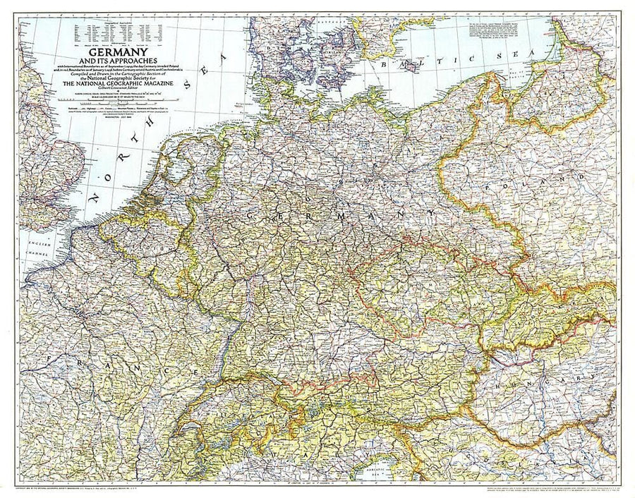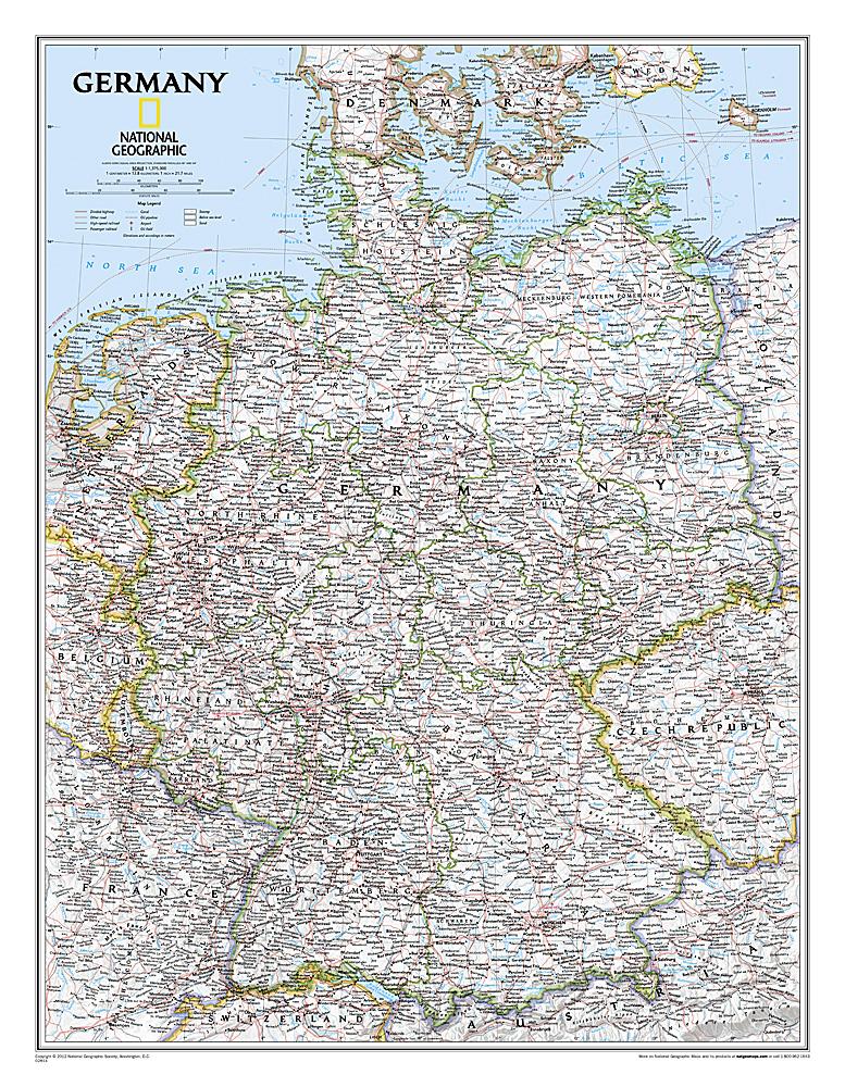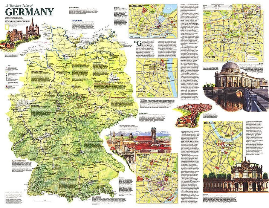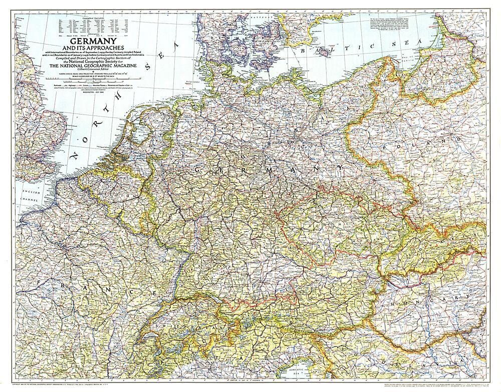
1944 Germany and Its Approaches 1938-1939 Map

1944 Germany and Its Approaches 1938-1939 Map Wall Map

1944 Germany and Its Approaches 1938-1939 Map

Regular price $40.00
/
  • Ships within 48 business hours from our US warehouse.
  • Delivery costs calculated instantly in the cart
  • Free returns (*)
  • Real-time inventory
  • In stock, ready to ship
  • Inventory on the way
Tax included.

Often purchased together:

A must-have for those interested in World War II, this informative map was published in July 1944 with an article entitled "Landing Craft for Invasion." This work shows the international boundaries as of Sept. 1, 1939, the day Germany invaded Poland, and boundaries as of Jan. 1, 1938, before Germany seized Austria and Czechoslovakia.


ISBN/EAN : 2321459M
Publication date: 1944
Unfolded dimensions: 33.5in / 26.25in
Language(s): English
Poids : 200 g

Customer Reviews

Be the first to write a review
0%
(0)
0%
(0)
0%
(0)
0%
(0)
0%
(0)
Nouveauté
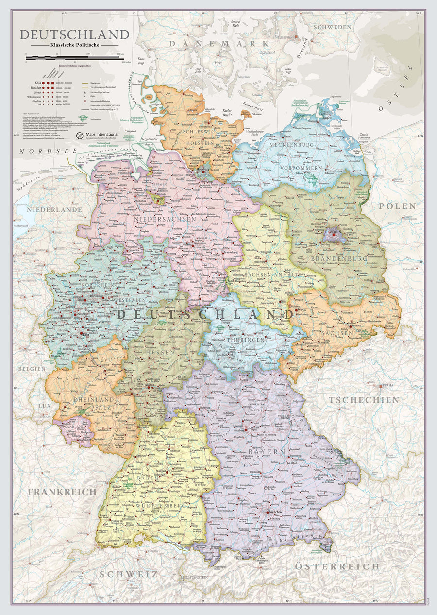
Carte murale - Allemagne (en allemand), style classique - 42 x 60 cm | Maps International carte murale petit tube Maps International
Wall map - Germany (in German), classic style - 42 x 60 cm | Maps International
Maps International
$32.00
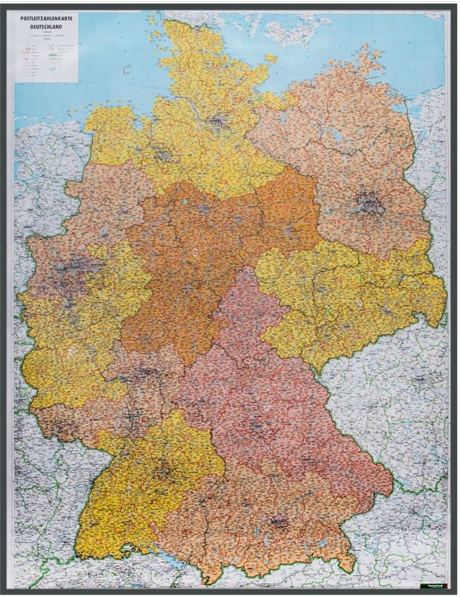
Carte murale - Allemagne (physique) | Freytag & Berndt carte murale petit tube Freytag & Berndt papier
Carte murale - Allemagne (physique) | Freytag & Berndt carte murale petit tube Freytag & Berndt
Wall Map - Germany (Physical) - 94 x 129 cm | Freytag & Berndt
Freytag & Berndt
from $28.00
Sold Out
Carte murale en relief - Allemagne (en anglais) | Georelief carte relief Georelief Sans cadre
Carte murale en relief - Allemagne (en anglais) | Georelief carte relief Georelief Avec cadre aluminium
Relief Wall Map - Germany - 77 x 57 cm | Georelief
Georelief
from $86.00
Recently viewed