1949 Europe and the Near East Map Wall Map

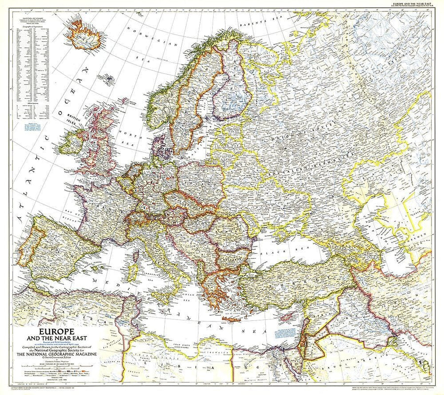
1949 Europe and the Near East Map

Price
Regular price $40.00
Regular price Sale price $40.00
Save $-40
/
  • Shipping within 48 business hours from our warehouse in the USA. For this product, customs fees may be requested by the carrier upon delivery.
  • Delivery costs calculated instantly in the basket
  • Free returns (*)
  • Real-time inventory
  • In stock, ready to ship
  • Backordered, shipping soon
Tax included.

Often purchased together:

A striking rendering of post - war Europe, this map is unique in its lack of ocean color. Colorful borders leap off the white page projecting an optimistic tone. Published in June 1949 with the article "Italy Smiles Again," this map shows American, British, French, and Russian occupational zones in Germany and Austria.


ISBN/EAN : 2321434M
Publication date: 1949
Unfolded dimensions: 31.75in / 28.25in
Language(s): English
Weight: 200 g

Customer Reviews

Be the first to write a review
0%
(0)
0%
(0)
0%
(0)
0%
(0)
0%
(0)
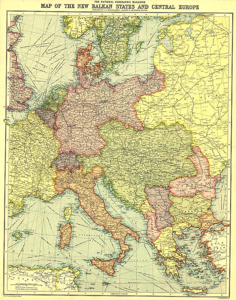
1914 New Balkan States and Central Europe Map Wall Map
1914 New Balkan States and Central Europe Map
National Geographic Historic POD
$27.00
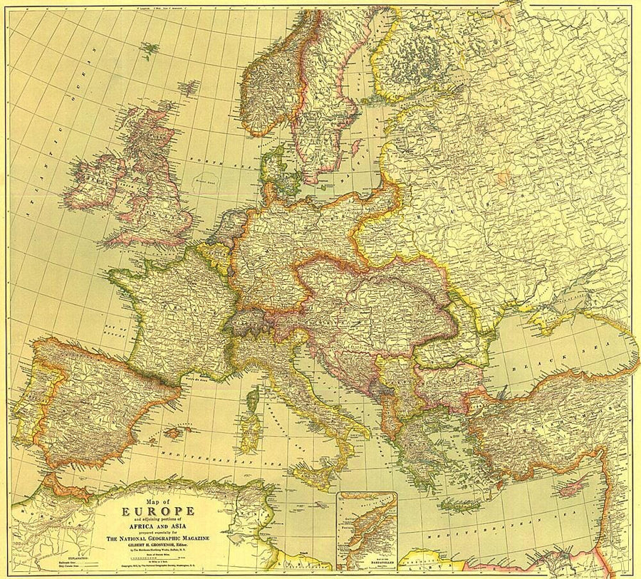
1915 Europe Map with Africa and Asia Wall Map
1915 Europe Map with Africa and Asia
National Geographic Historic POD
$40.00
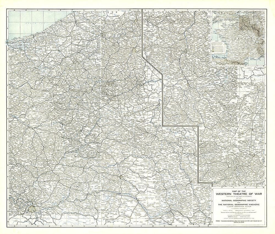
1918 The Western Theatre of War Map Wall Map
1918 The Western Theatre of War Map
National Geographic Historic POD
$40.00
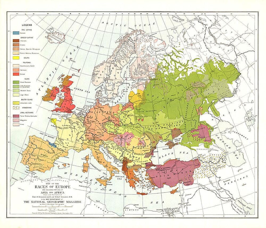
1918 Races of Europe Map Wall Map
1918 Races of Europe Map
National Geographic Historic POD
$40.00
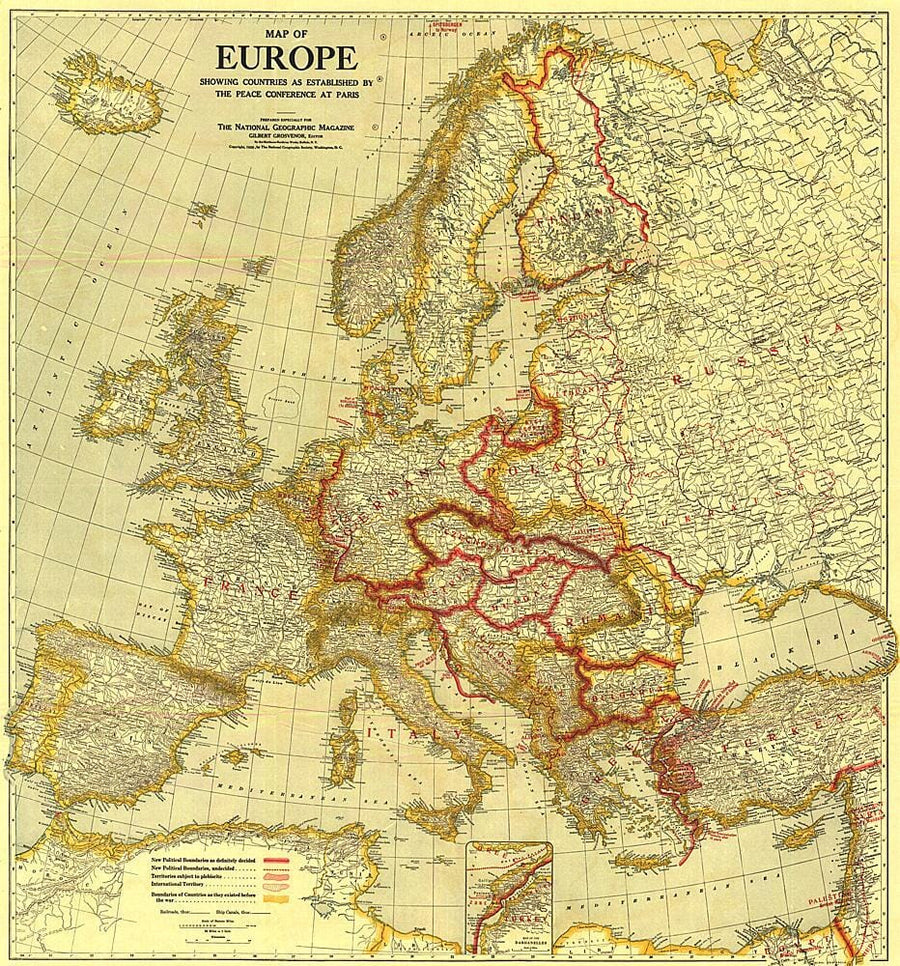
1921 Map of Europe Showing the Countries Established by the Peace Conference of Paris Wall Map
1921 Map of Europe Showing the Countries Established by the Peace Conference of Paris
National Geographic Historic POD
$47.00