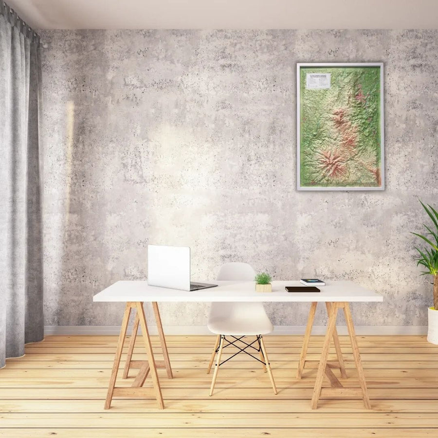
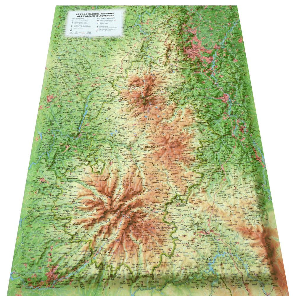
Relief wall map covering the Auvergne Volcanoes Regional Natural Park.
A finishing frame is also available as an option: We recommend it to make hanging easier and enhance your map.
Information included on the map:
- Tourist attractions:
- Most Beautiful Villages in France
- Castles
- Historic Monuments
- Religious Heritage
- Museums
- Observatories
- Orientation Tables
- Waterfalls
- Caves
- Outdoor Activities:
- Long-distance Hiking Trails
- Mountain Huts - Lodges
- Alpine Ski Resorts
- Via Ferrata
- Whitewater Activities
- Paragliding Takeoff Sites (www.ffvl.fr)
- Paragliding Landing Sites (www.ffvl.fr)
- Airports
- Airfields
- Planimetric scale: 1:230,000 (1 cm = 2.3 km)
- Altimetric scale: 1:60,000
ISBN / EAN : 9791097206406
Date de publication : 2022
Echelle : 1/230,000 (1cm=2.3km)
Dimensions déplié(e) : 41cm x 61cm
Langue : French
Poids :
136 g


