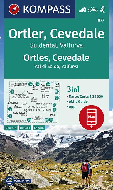
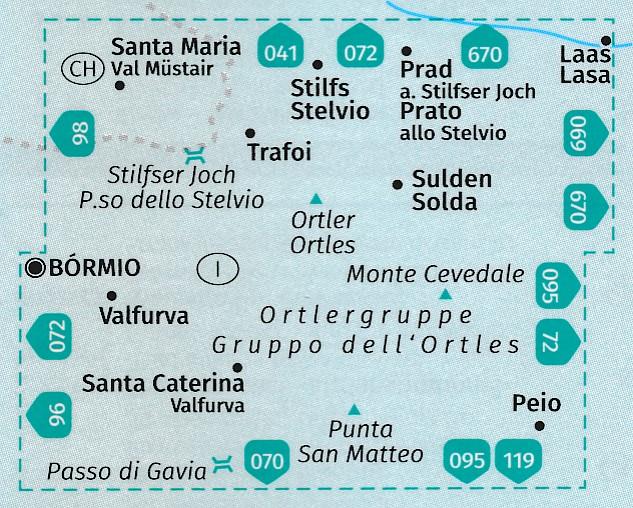
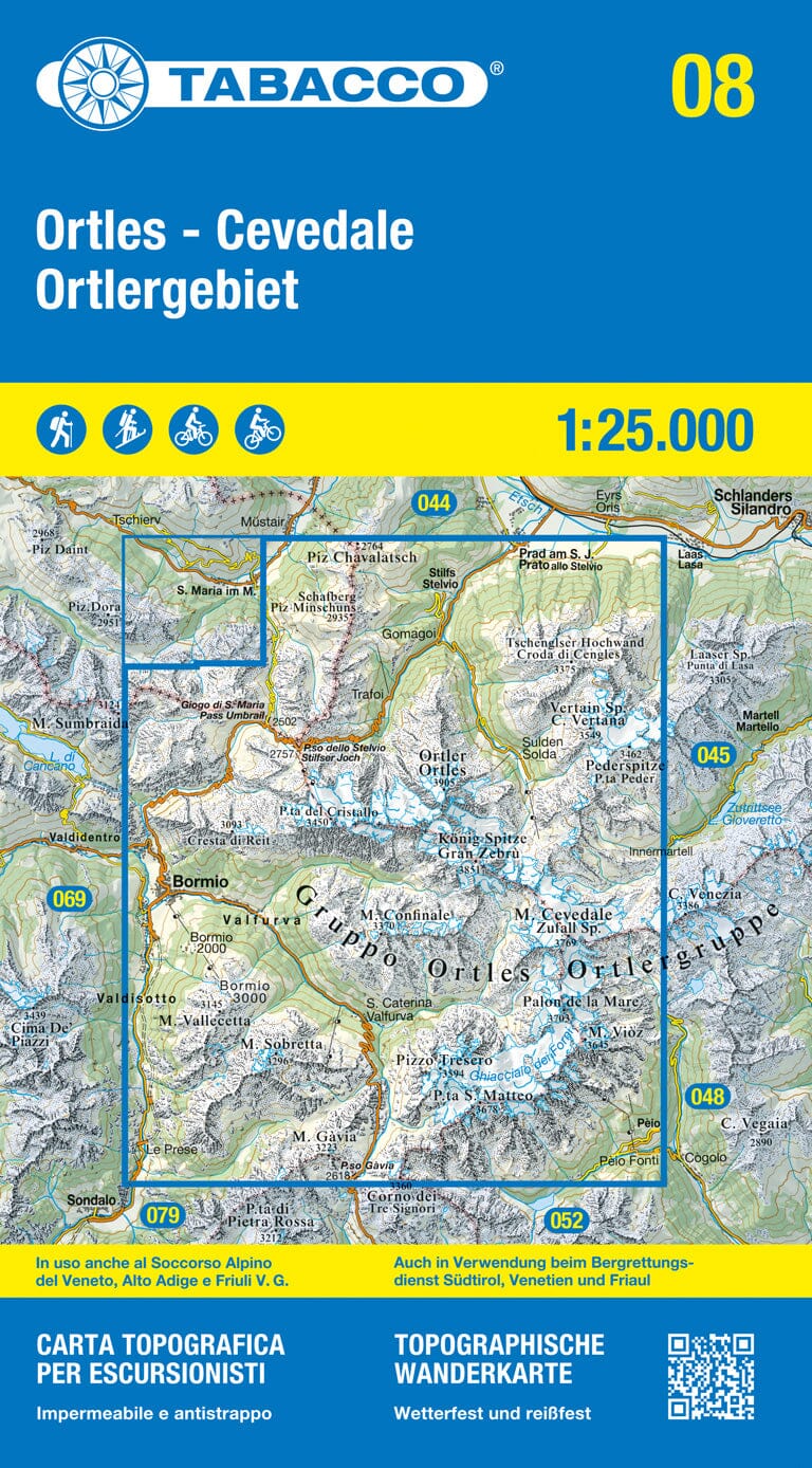
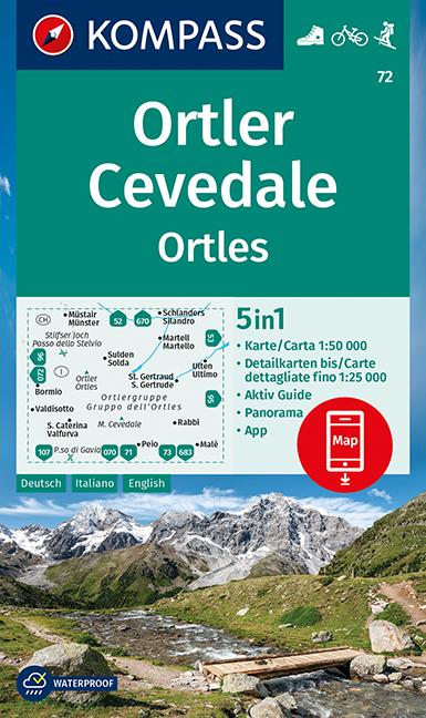
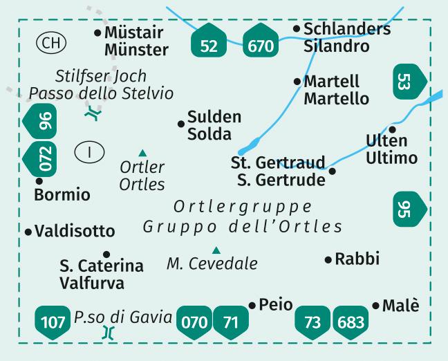
Hiking map of the Ortles, Cevedale, Suldental, and Valfurva published by Kompass.
Kompass maps contain everything outdoor enthusiasts need to know.
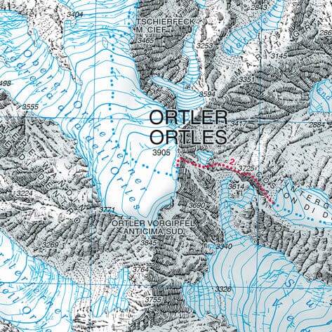
These highly detailed maps present the topography of the terrain, indicate hiking trails with marks according to difficulty level, contour lines, and the corresponding vegetation types, as well as comprehensive tourist information.
Symbols indicate campsites, youth hostels, mountain huts, selected hotels and remote inns, sports and recreational facilities, and a wide range of other places of interest.
The key is multilingual.
ISBN/EAN : 9783991214588
Publication date: 2022
Scale: 1/25,000 (1cm=250m)
Folded dimensions: 11 x 19cm
Language(s): English, German, Italian
Weight:
90 g


