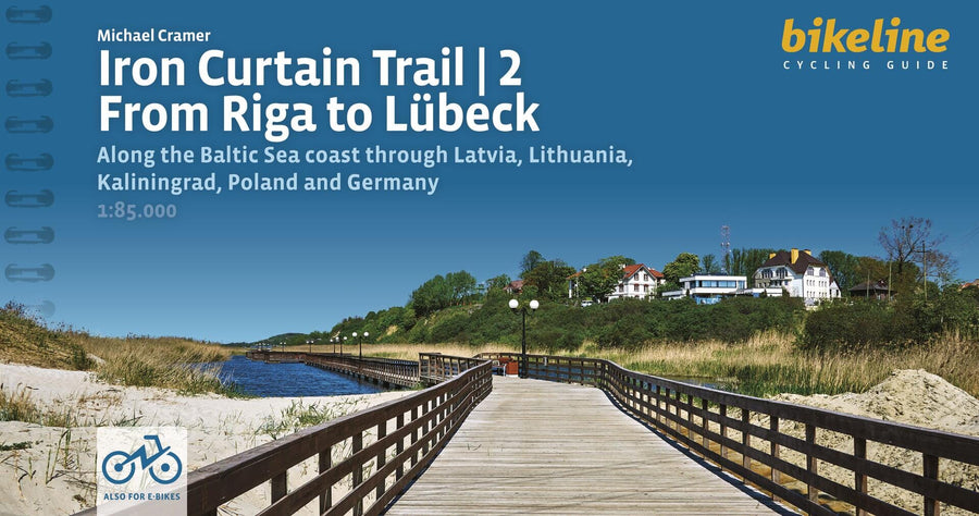
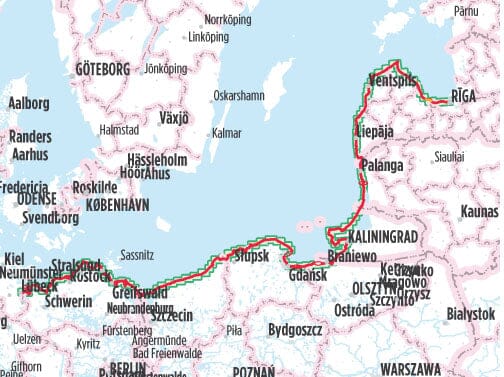
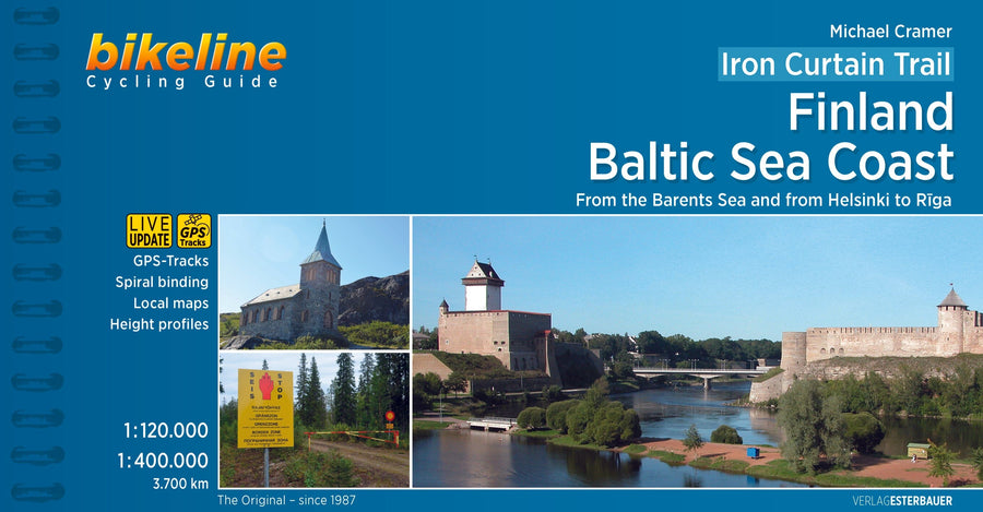
Cycling Guide (in English) - Iron Curtain Trail - Baltic Sea Cycling Route, From Riga to Lübeck | Bikeline

Price
Regular price $23.00
Regular price Sale price $23.00
Save $-23
/
  • Shipping within 24 working hours from our warehouse in France
  • Delivery costs calculated instantly in the basket
  • Free returns (*)
  • Real-time inventory
  • In stock, ready to ship
  • Backordered, shipping soon
Tax included.

Often purchased together:

Spiral-bound cycling guide covering the Iron Curtain Trail cycling route along the Baltic Sea, from Riga to Lübeck.

The cycling guide contains all the information you need for your cycling holiday along Europe's Iron Curtain Trail between Riga and Lübeck: accurate maps, a detailed route description, a comprehensive list of accommodations, numerous detailed maps of towns and villages, and information on the most important sights. And all this information comes with our cycling promise: the route described in this book has been tested and evaluated in person by the author! To ensure the book is as up-to-date as possible, we welcome corrections submitted by readers and local authorities or businesses. However, we cannot always check and confirm these changes before the deadline.

The Maps
The detailed maps are produced at a scale of 1:85,000 (1 centimeter = 850 meters). In addition to accurately describing the route, these maps also provide information on the quality of the road surface (paved or unpaved), elevation changes (gentle or steep), distances, and available cultural and culinary highlights. Even with the most accurate map, consulting the written route description may sometimes be necessary. Places where the route is difficult to follow are indicated by the No. ? symbol on the maps; the same symbol is then found in the written description where the route is explained in detail. Note that the recommended main route is always shown in red or purple; alternative and excursion routes in orange. The individual symbols used on the maps are described in the key on pages 4 and 5. Route Elevation Profile The Route Elevation Profile in the introduction provides a graphical representation of the elevations along the route, the total length, and the location of major towns and cities along the way. Additionally, a detailed elevation profile is provided at the beginning of each section, showing many smaller centers along the way as well as waypoints, giving you a direct reference to the maps and route description. Latitude profiles do not show every small hill and dip, but only the major elevation changes. On detailed maps, smaller gradients are indicated by upward-pointing arrows.


ISBN/EAN : 9783711102201
Publication date: 2024
Pagination: 200 pages
Scale: 1/85,000 (1cm=850m)
Folded dimensions: 11.8 x 22.1cm
Language(s): English
Weight: 270 g

Customer Reviews

Be the first to write a review
0%
(0)
0%
(0)
0%
(0)
0%
(0)
0%
(0)