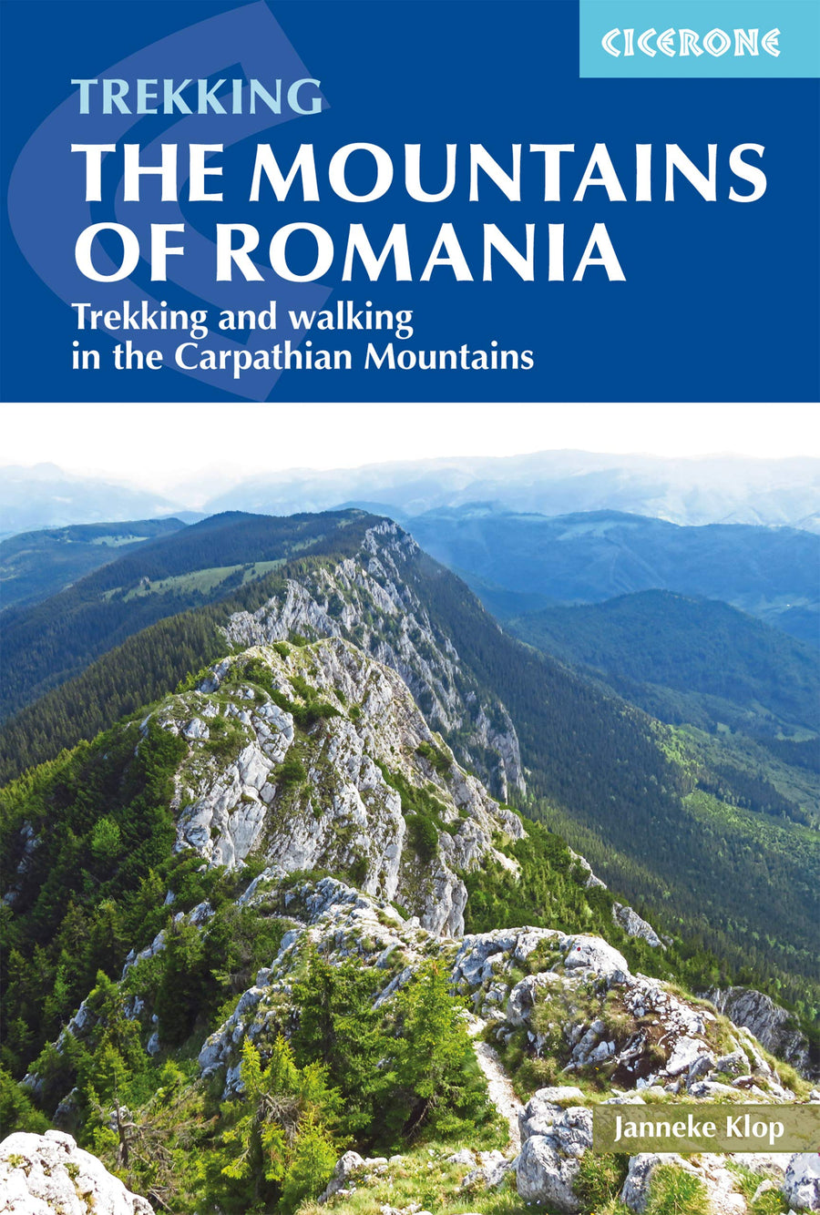
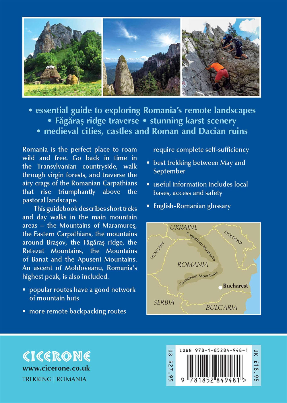
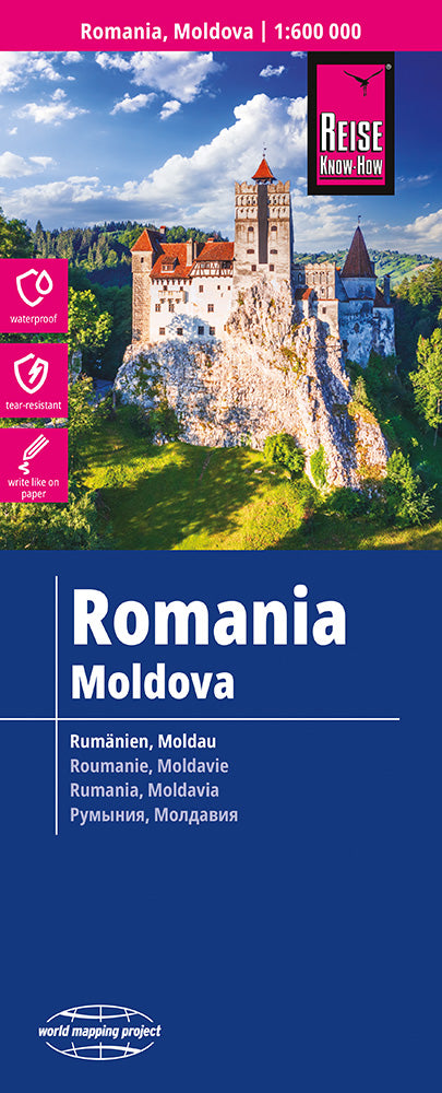
An excellent, easy to use trekking map of the Southern Carpathians in Romania. It shows the region of the highest Romanian peaks of the Retezat range.
This publication was created especially for active people who go hiking in this region. It was produced using the Comfort system! Map from ExpressMap (P) and is laminated, making it comfortable to use and exceptionally durable - proving its value in even the harshest trail weather conditions. Additionally, the map includes a plan of Brasov. It also includes a legend in six languages: English, German, French, Spanish, Italian, Polish.
The map is characterized by
- rich tourist content, marked, among other things, by marked tourist trails, natural attractions, places of accommodation,
- shadows visually showing the reliefs,
- GPS compatibility - geographic coordinates in the WGS-84 system.
The terraQuest hiking map series was created for lovers of long-distance travel and hard-to-reach places. The map's broad coverage, detailed scale, and rich content will help you plan your hike well. The cards are laminated on both sides, allowing them to withstand the harshest mountain conditions.
Translated with DeepL.com (free version)
ISBN/EAN : 9788361155867
Publication date: 2024
Scale: 1/50,000 (1cm=500m)
Printed sides: both sides
Folded dimensions: 24 x 11.2 x 0.5cm
Unfolded dimensions: 68 x 47 cm
Language(s): French, English, German, Spanish, Italian, Polish
Weight:
86 g


