Trails Map of South Holston & Watauga Lakes, Cherokee & Pisgah National Forests (Tennessee, North Carolina), # 783 | National Geographic carte pliée National Geographic

Trails map of South Holston & Watauga Lakes, Cherokee & Pisgah National Forests (Tennessee, North Carolina), # 783 | National Geographic

Price
Regular price $15.00
Regular price Sale price $15.00
Save $-15
/
  • Shipping within 48 business hours from our warehouse in the USA. For this product, customs fees may be requested by the carrier upon delivery.
  • Delivery costs calculated instantly in the basket
  • Free returns (*)
  • Real-time inventory
  • In stock, ready to ship
  • Backordered, shipping soon
Tax included.

Often purchased together:

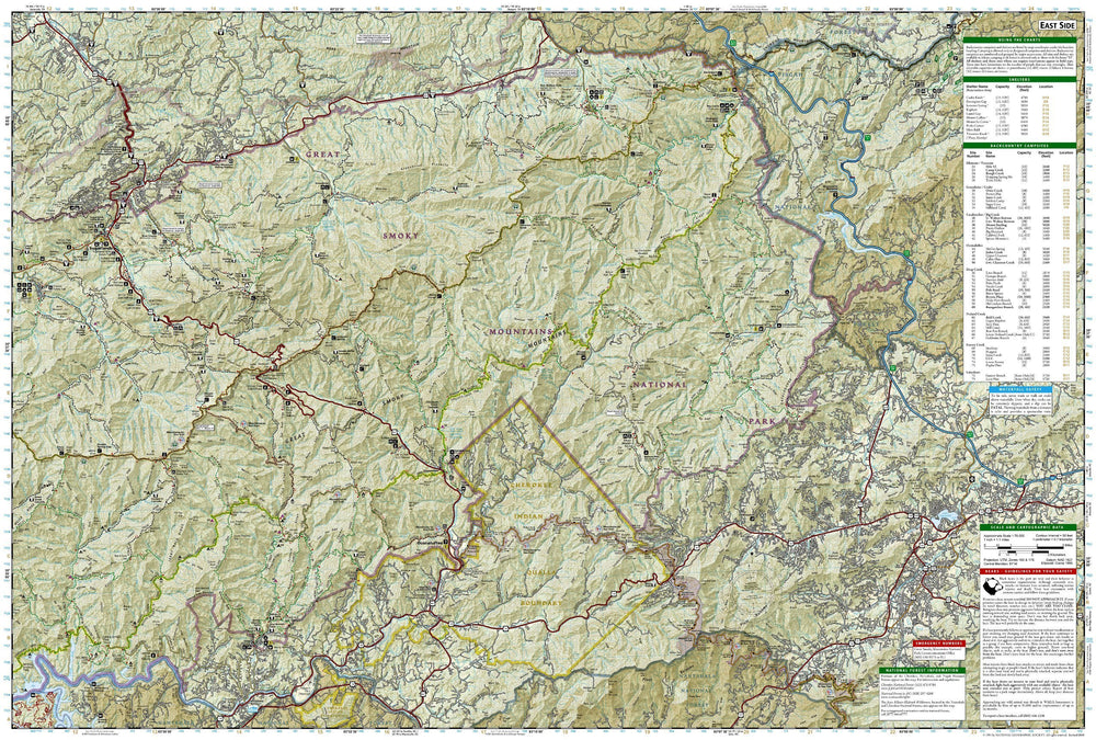
Hiking map of South Holston & Watauga Lakes (Cherokee & Pisgah National Forests, Tennessee / North Carolina) published by National Geographic. This detailed map is the most comprehensive recreational map for Cherokee National Forest, Northern Districts, South Holston & Watauga Lakes area. This map covers Cherokee National Forest/Northern Districts, Erwin, Elizabethton, Mountain City, Unaka Mountain, Pond Mountain, Big Laurel Branch, Watauga Lake, South Holston Lake, Unaka Mountain Wildlife Viewing Loop, Blue Ridge Parkway, Appalachian National Scenic Trail, Highlands of Roan Mountain, Roan Mountain State Park, Grandfather Mountain Biosphere Reserve, and much more. Trails, trailheads, points of interest, campgrounds are included. Waterproof and tear resistant. Scale = 1:63,360.


ISBN/EAN : 9781566953788
Publication date: 2020
Scale: 1:63.360 (1cm is 633.6m)
Printed sides: both sides
Language(s): English
Weight: 95 g

Customer Reviews

Be the first to write a review
0%
(0)
0%
(0)
0%
(0)
0%
(0)
0%
(0)