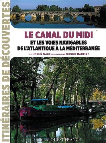
Detailed map - Canal du Midi, from Toulouse to the Etang de Thau | IGN

Price
Regular price $10.00
Regular price Sale price $10.00
Save $-10
/
  • Shipping within 24 working hours from our warehouse in France
  • Delivery costs calculated instantly in the basket
  • Free returns (*)
  • Real-time inventory
  • In stock, ready to ship
  • Backordered, shipping soon
Tax included.

Often purchased together:

Double - sided laminated map covering the Canal du Midi from Toulouse to the Etang de Thau at 1/100,000 scale (1 cm = 1 km).

Route profile and main stops and tourist spots.

This tourist map is waterproof, it includes a detailed legend.

It is a valuable aid in helping to plan the stages thanks to tourist information and links (where to eat, where to sleep, what to visit, etc.).


ISBN/EAN : 9782758552871
Publication date: 2022
Scale: 1/100,000 (1cm=1km)
Printed sides: both sides
Folded dimensions: 11x24cm
Language(s): French English
Weight: 90 g

Customer Reviews

Based on 2 reviews
100%
(2)
0%
(0)
0%
(0)
0%
(0)
0%
(0)
S
Sandrine R. (Carcassonne, FR)
En complement

La carte est un complément au livret. Elle permet de se repérer lorsqu'on sort des sentiers battus.

F
Florence G. (Geneva, CH)
Carte canal du midi voie verte

Carte voie verte canal du midi. : excellent produit. Reçu rapidement après commande. Prix ok