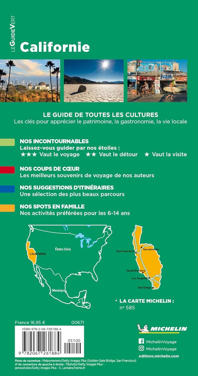
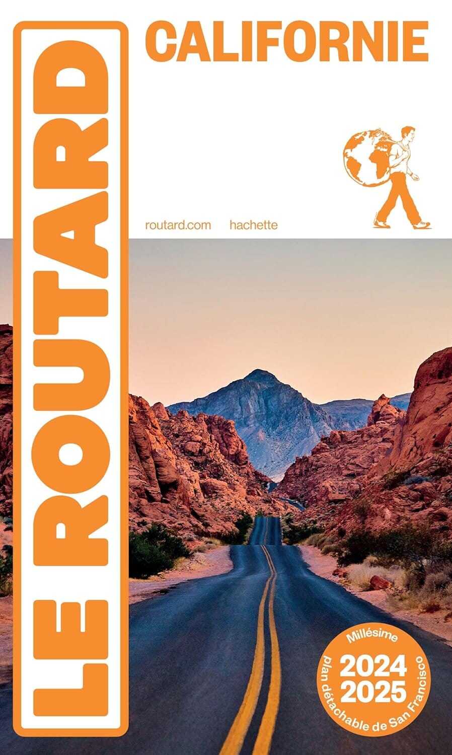
Trails Map of Santa Monica Mountains National Recreation Area (California), # 253 | National Geographic carte pliée National Geographic

Trails map of Santa Monica Mountains National Recreation Area (California), # 253 | National Geographic

Price
Regular price $16.00
Regular price Sale price $16.00
Save $-16
/
  • Shipping within 48 business hours from our warehouse in the USA. For this product, customs fees may be requested by the carrier upon delivery.
  • Delivery costs calculated instantly in the basket
  • Free returns (*)
  • Real-time inventory
  • In stock, ready to ship
  • Backordered, shipping soon
Tax included.

Often purchased together:

Hiking map of Santa Monica Mountains National Recreation Area (California) published by National Geographic. This topographic map details the largest urban park in the United States from Point Mugu to Will Rogers State Beach. This detailed map includes Runyon Canyon, Fryman Canyon, Franklin Canyon, Fossil Ridge, Mission Canyon, Marvin Braude Mulholland Gateway Park, Westridge Canyonback Park, Rustic Canyon Park, Temescal Canyon Park, Topanga State Park, Tuna Canyon, Malibu Creek State Park, Corral Canyon, Las Virgenes Canyon Open Space, Zuma/Trancas Canyons, Point Mugu State Park, Leo Carrillo State Park, and more. Trails, trailheads, points of interest, campgrounds are included. Waterproof and tear resistant. Scale 1:37,000.


ISBN/EAN : 9781566954471
Publication date: 2008
Scale: 1: 37,000 (1 cm represents 370 m)
Printed sides: both sides
Language(s): English
Weight: 95 g

Customer Reviews

Be the first to write a review
0%
(0)
0%
(0)
0%
(0)
0%
(0)
0%
(0)