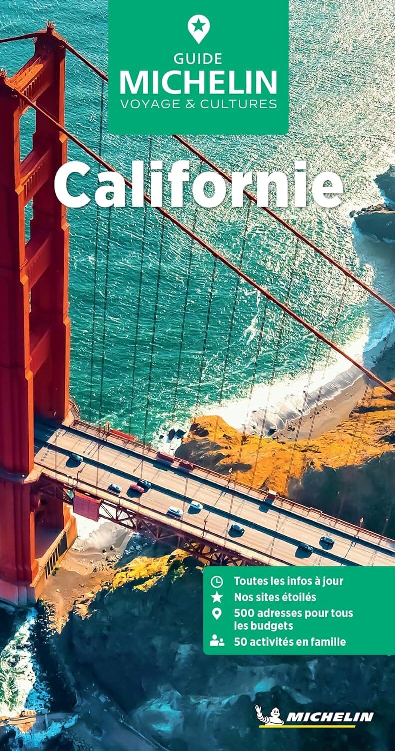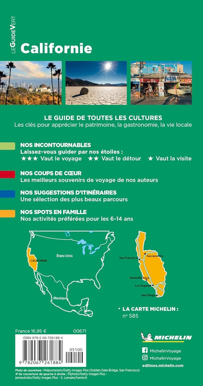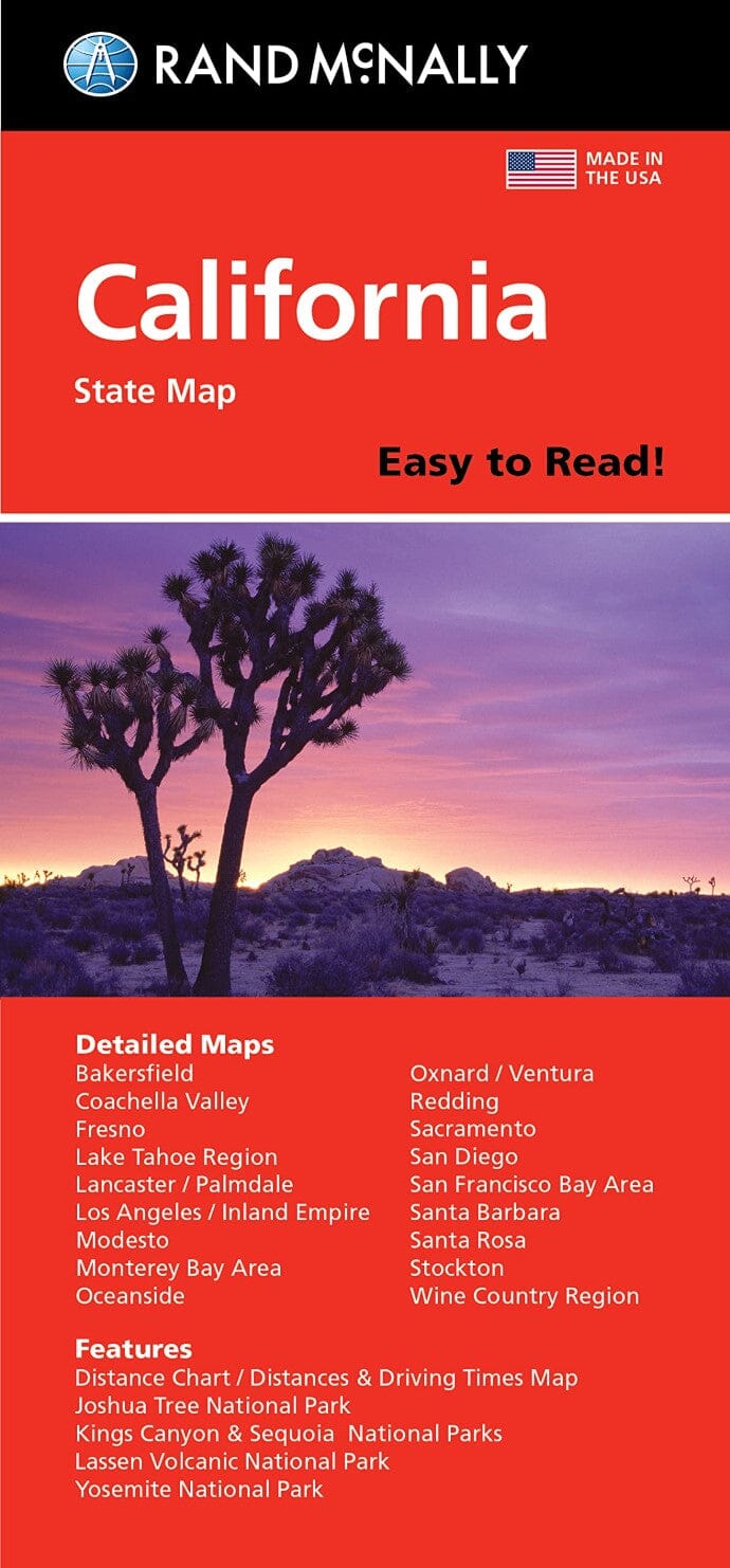
Californie, carte facile à lire | Rand McNally carte pliée Rand McNally

California, Easy-to-Read Map | Rand McNally

Price
Regular price $14.00
Regular price Sale price $14.00
Save $-14
/
  • Shipping within 48 business hours from our warehouse in the USA. For this product, customs fees may be requested by the carrier upon delivery.
  • Delivery costs calculated instantly in the basket
  • Free returns (*)
  • Real-time inventory
  • In stock, ready to ship
  • Backordered, shipping soon
Tax included.

Often purchased together:

The Easy To Read series consists of enlarged versions that are generally printed on both sides.
The map shows the state's road network with very little topographic detail, making it much easier to visualize traffic information. Travel distances are indicated on all major highways as well as most minor roads.
National and state parks are shown, along with clearly marked points of interest, airports, county lines, campgrounds, rest areas, and more. The map also includes a mileage chart and a state mileage and driving time map.
Also included are additional panels showing enlargements of Bakersfield, Fresno, Joshua Tree National Park, Kings Canyon National Park, Sequoia National Park, the Lake Tahoe area, Lancaster - Palmdale, Los Angeles, Modesto, Monterey - Salinas, Oceanside, Oxnard - Ventura, and Palm. Springs, Sacramento, San Diego, San Francisco, Santa Barbara, Santa Rosa, Stockton and Yosemite National Park.


ISBN/EAN : 9780528028373
Publication date: 2023
Folded dimensions: 9.06 inches x 4.33 inches (23 x 11 cm)
Unfolded dimensions: 34.25 inches x 39.37 inches (87 x 100 cm)
Language(s): English
Weight: 90 g

Customer Reviews

Be the first to write a review
0%
(0)
0%
(0)
0%
(0)
0%
(0)
0%
(0)