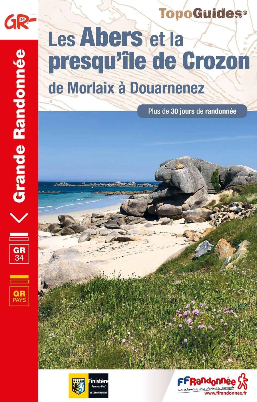
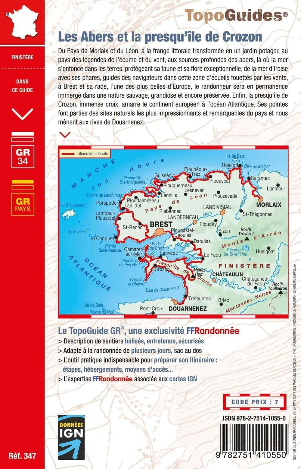
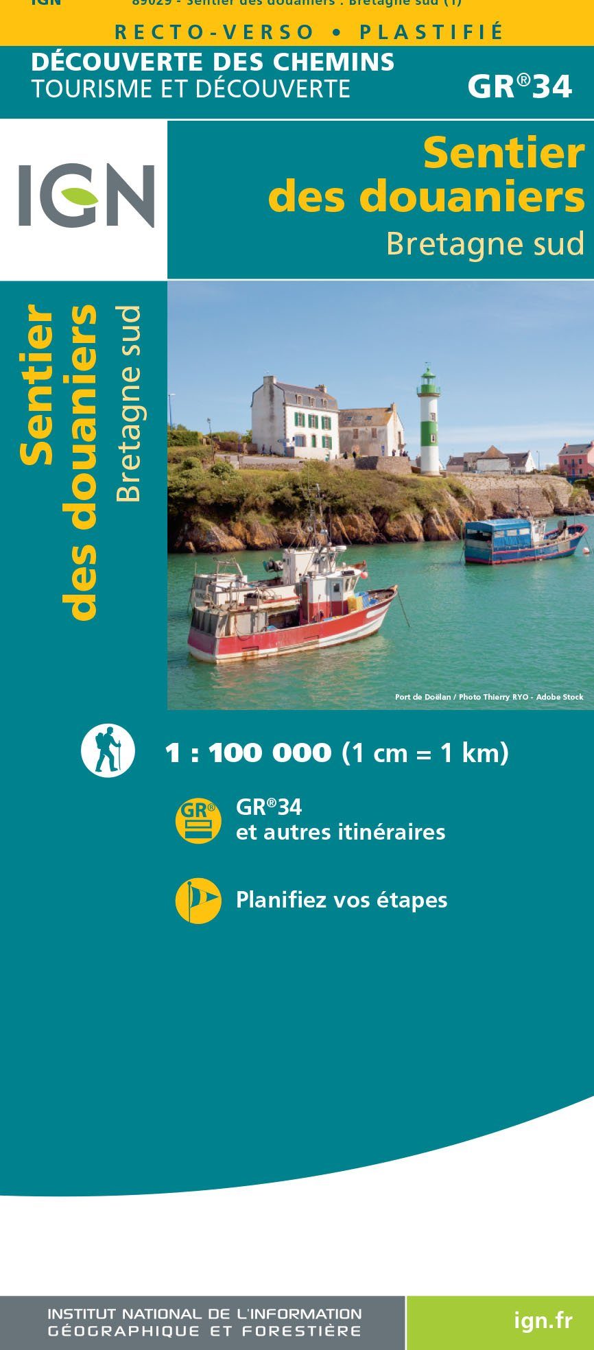
Topoguide de randonnée - Les Abers et la presqu'île du Crozon - Le chemin des phares - GR34 | FFR guide de randonnée FFR - Fédération Française de Randonnée

Topoguide Hiking - The Abers and the Crozon Peninsula - The Lighthouse Road - GR34 | FFR (French)

Topoguide Hiking - The Abers and the Crozon Peninsula - The Lighthouse Road - GR34 | FFR (French)

Regular price $21.00
/
  • Shipping within 24 working hours from our warehouse in France
  • Delivery costs calculated instantly in the basket
  • Free returns (*)
  • Real-time inventory
  • In stock, ready to ship
  • Backordered, shipping soon
Tax included.

Topoguide of the "great hiking" collection to discover the abers and the peninsula of the Crozon on foot.

between Morlaix and Douarnenez, where the sea has dug deep furrows in the land. More than 30 days of hiking and 4 walks on the island of Ouessant.

More than 30 days of hiking on the headlights between Roscoff and Brest, whose coastline was designed by the repeated assaults of the sea thus creating narrow and deep furrows named: "abers".

The Morlaix trail in Brest goes through the coast to admire the reefs and islets that border it and then continues to the Flau, serpentant between land and sea. The outlinesence continues on the Crozon peninsula and Its tip of Pen Hir until Douarnenez.


ISBN/EAN : 9782751412103
Publication date: 2022
Pagination: 104 pages
Folded dimensions: 21x13cm
Language(s): French
Poids : 181 g

Customer Reviews

Based on 1 review
100%
(1)
0%
(0)
0%
(0)
0%
(0)
0%
(0)
G
Ginette K. (Gif-sur-Yvette, FR)
entière satisfaction

excellent topoguide pour préparer notre parcours de marche.