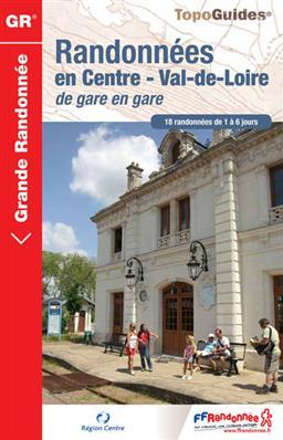
Topoguide de randonnée - Randonnées en Centre- Val de Loire de gare en gare | FFR guide de randonnée FFR - Fédération Française de Randonnée

Hiking Topoguide - Hiking in Vala de Loire station in station | FFR (French)

Hiking Topoguide - Hiking in Vala de Loire station in station | FFR (French)

Regular price $21.00
/
  • Shipping within 24 working hours from our warehouse in France
  • Delivery costs calculated instantly in the basket
  • Free returns (*)
  • Real-time inventory
  • Low stock - 1 item left
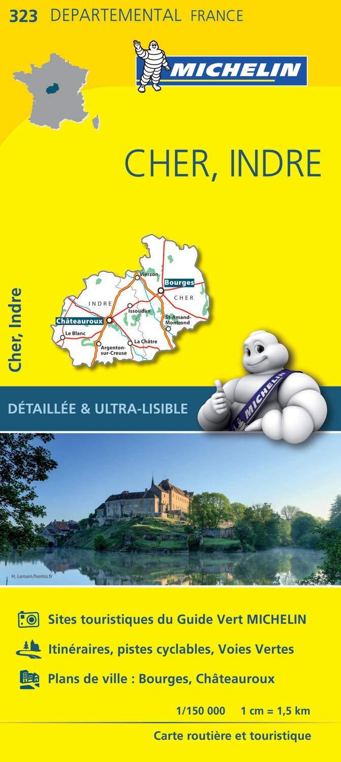
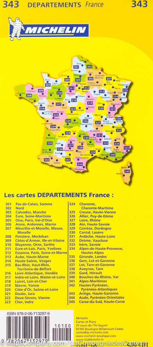
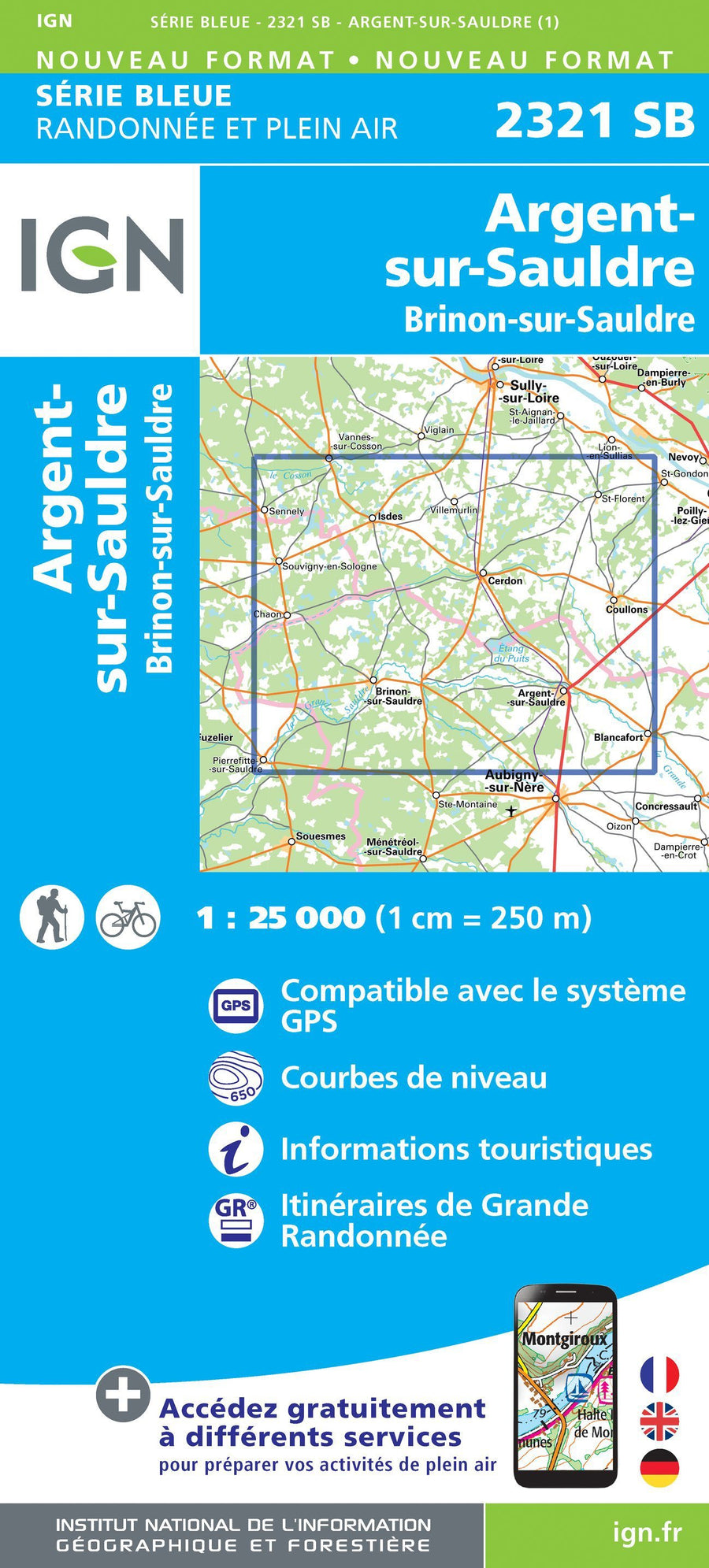
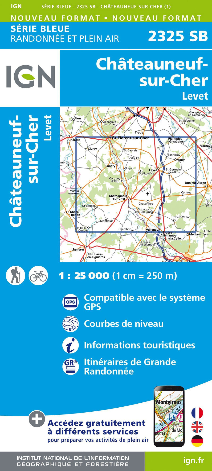
  • Backordered, shipping soon
Tax included.
Topoguide of the "Great Hiking" collection.
18 hikes from 1 to 6 days from the stations of the Loire Valley. The cream of the center area without carbon dioxide!
The topo-guide takes up GR® sections already published in other topo-guides, but also many unpublished portions. GR® pieces connecting cities served by trains. Or loops from cities. And this in the 6 departments of the region (Eure-et-Loir, Loiret, Loir-et-Cher, Indre-et-Loire, Cher, Indre).
Some prestigious cities: Chartres, Vendôme, Gien, Orleans, Blois, Cheverny, Tours, Azay-le-Rideau, Bourges, Sancerre, Châteauroux, Argenton-sur-Creuse. The exceptional heritage of the Loire Valley, Touraine, Berry, Orleanais, Sancerrois, Country of Chartres, Country Vendômois, the center down and across, using the rail network.


ISBN/EAN : 9782751406669
Publication date: 2013
Pagination: 232 pages
Folded dimensions: 21x13cm
Language(s): French
Poids : 353 g

Customer Reviews

No reviews yet
0%
(0)
0%
(0)
0%
(0)
0%
(0)
0%
(0)