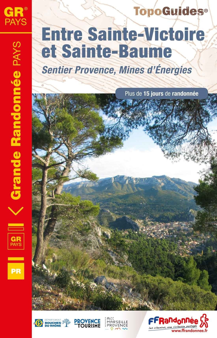
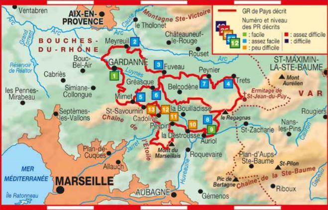
Topoguide Hiking - Between Ste Victoire and Ste Baume, Provence Trail, Energy Mines | FFR (French)

Topoguide de randonnée - Entre Ste Victoire et Ste baume, Sentier Provence, Mines d'Énergies | FFR guide de randonnée FFR - Fédération Française de Randonnée

Topoguide Hiking - Between Ste Victoire and Ste Baume, Provence Trail, Energy Mines | FFR (French)

Regular price $19.00
/
  • Shipping within 2-3 working days from our warehouse in France
  • Delivery costs calculated instantly in the cart
  • Free returns (*)
  • Real-time inventory
  • In stock, ready to ship
  • Inventory on the way
Tax included.

Often purchased together:

Topoguide of the "Great hiking" collection.

13 trails walks and hikes.

Go hike on this new path GR ® from the country "Trail, Provence Energies Mines" inaugurated in early December 2018.You will go through the Provence Mining Basin between the Massif de Sainte-Victoire north, the star chain south and the massif of the Sainte-Baume east. The heights of these massifs offer exceptional points of view, allowing a clear time to see the pond of Berre.

Natural areas such as Sainte-Victoire (great site of France), the Regional Natural Park of Sainte-Baume, the Montagne du Regagnas and the Star Chain offer a grandiose setting at the Provence Mining Basin.

The heights of these massifs are revealed unforgettable views of both agricultural and wine landscapes, and on the life basins of the country of Aix and the country of Aubagne and the Etoile.

At the heart of this industrial and natural heritage, accessible thanks to a network of hiking routes, Provencaux villages keep their traditional character.


ISBN/EAN : 9782751409059
Publication date: 2019
Pagination: 112 pages
Folded dimensions: 21 x 13.5cm
Language(s): French
Poids : 180 g

Customer Reviews

Based on 1 review
100%
(1)
0%
(0)
0%
(0)
0%
(0)
0%
(0)
J
Jean-Luc R. (Lattes, FR)
super pour les randos

parfait pour les gens de la région qui veulent randonner

Carte départementale D13-84 - Bouches-du-Rhône & Vaucluse | IGN carte pliée IGN
Departmental Map D13-84 - Bouches-du-Rhône & Vaucluse | IGN
IGN
$7.00
Carte départementale n° 340 - Bouches-du-Rhône & Var | Michelin carte pliée Michelin
Departmental Map # 340 - Bouches-du-Rhône & Var | Michelin (French)
Michelin
$8.00
Sold Out
Carte IGN TOP 100 n° 172 - Aix-en-Provence, Toulon, Fréjus & Calanques | IGN - La Compagnie des Cartes
IGN Map Top 100 # 172 - Aix-en-Provence, Toulon, Frejus & PNR Calancies | IGN
IGN
$10.00
Carte TOP 100 n° 171 - Marseille, Avignon, Camargue, Lubéron, PNR des Calanques | IGN carte pliée IGN
Map Top 100 # 171 - Marseille, Avignon, Camargue, Lubéron, Calanques PNR | IGN
IGN
$10.00
Carte régionale n° 16 : Provence-Alpes-Côte d'Azur | IGN carte pliée IGN
Regional Map # 16: Provence-Alpes-coast Azur | IGN
IGN
$8.00
Recently viewed