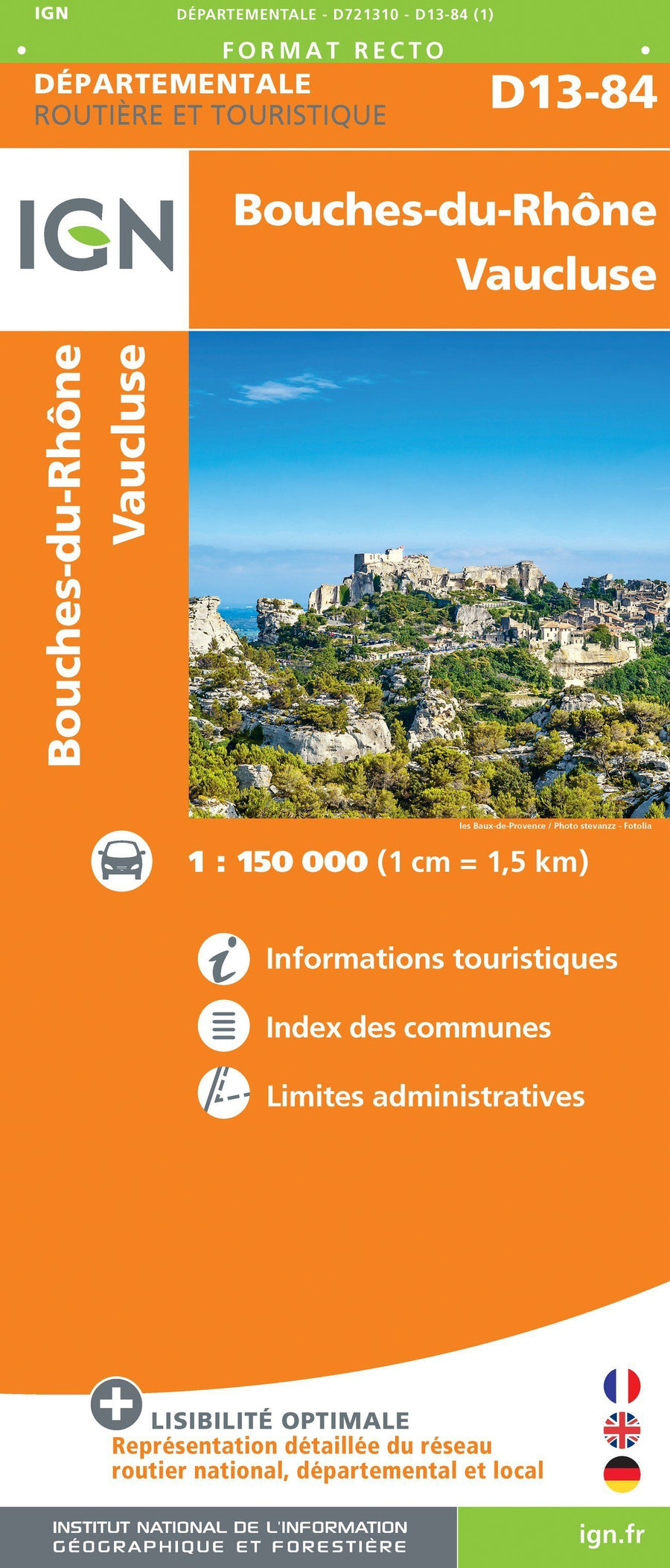
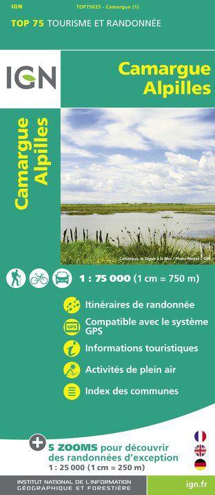
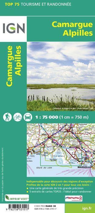
TOP 25 map n° 3044 OT - Port-Saint-Louis-du-Rhône, Camargue PNR | IGN
Regular price
$16.00
Regular price
Sale price
$16.00
Save $-16
/
- Shipping within 24 working hours from our warehouse in France
- Delivery costs calculated instantly in the basket
- Free returns (*)
- Real-time inventory
- In stock, ready to ship
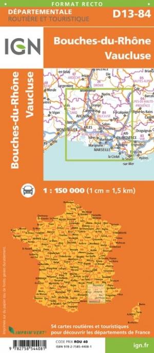
Related geographic locations and collections: Bouches-du-Rhône (department 13), Camargue, France hiking maps - IGN TOP 25 & SÉRIE BLEUE, French Riviera, Provence, Southern Alps hiking maps - IGN TOP 25 & SÉRIE BLEUE, Gard (department 30)